


What so many Floridians have been waiting for is finally here: A whisper of fall weather has arrived.
A weak cold front blew through Palm Beach County on Sept. 25, and its effects will be felt through the weekend. Drier air, breezy north winds and lower rain chances have come along with it.
The fall season, which officially started on Tuesday, Sept. 22, brought the first cold front felt in Palm Beach County since last winter. It is the earliest cold front to blow through the county in recent years, said George Rizzuto, a meteorologist with the National Weather Service in Miami.
The air is drier because the dew point temperatures are lower,
and possibly as low as they've been since May, a meteorologist said.
Dew point temperatures are a good general idea for how humid the air feels, said Chris Fisher, another NWS meteorologist in Miami. Dew point is the amount of water vapor in the air. Relative humidity is a percentage describing the amount of saturation of air.
NWS comfort charts suggest that any level above 70 is considered "muggy and somewhat uncomfortable," although that's considered low for this time of year in Florida.
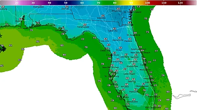
In the early hours of Friday, Sept. 25, the lowest dew point temperature at Donald J. Trump International Airport near West Palm Beach was 73 for about 10 minutes, but it's been lower at different points all month, hitting 72 for nearly an hour on Sept. 22.
"Given we have dew points in the low 70s, this is probably the lowest since early to mid-May," Fisher said.
The driver for the lower dew points is the cold front that pushed into the Florida Straits overnight and has already shifted winds out of the northwest, bringing in drier, cooler air.
Why is Palm Beach County getting a cold front?

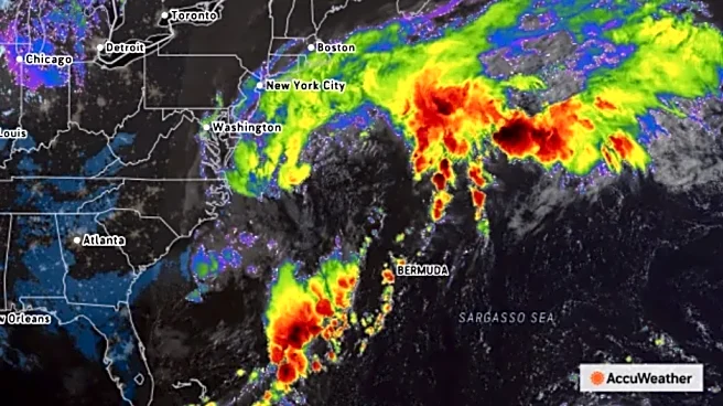
The cold front is from an early-season nor’easter storm that is bringing heavy rain, fierce winds and high water to the Northeast and possibly as far south as North and South Carolina.
“(The storm) already is pretty strong, and that's why that cold front was able to push all the way through the peninsula, which is kind of rare for this time of year,” Rizzuto said. “And it is pretty rare to get a nor'easter to form in September, too. That stronger system aided in pushing that boundary all the way through the peninsula, where usually we'll see it kind of stall out over northern Florida or central Florida.”
Still, the cold front is weak. High temperatures are in the mid-to-upper 80s until Sunday, Sept. 27.
But the low temperatures might catch the eyes of Floridians seeking relief from the brutal summer heat. The low temperature is expected at 72 degrees on Friday, Sept. 25, into the morning of Saturday, Sept. 26. It is expected at 71 degrees later that day through Sunday, Sept. 27.
It is king tide season in Palm Beach County
The storm in the north is sending out some swell, too.
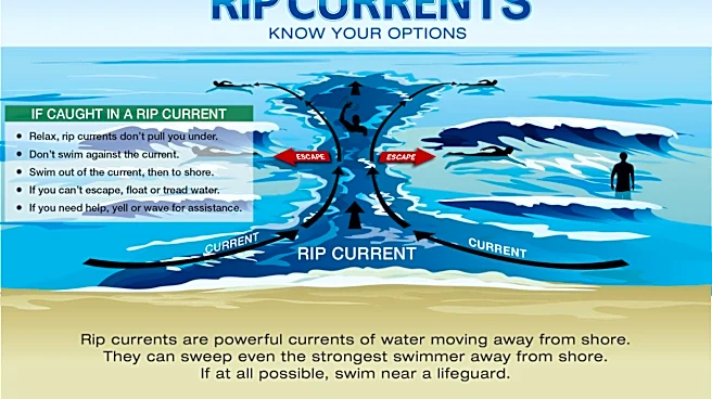
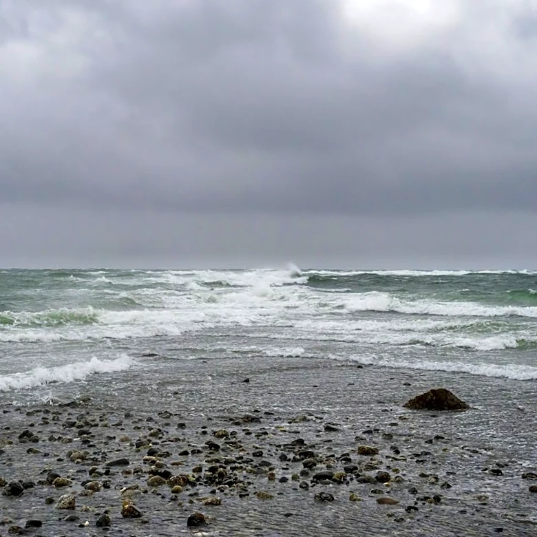
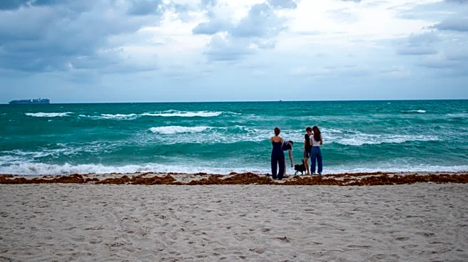
Coastal Palm Beach County is under a high surf advisory from 2 a.m. Sept. 25 until 8 a.m. Sept. 26 and there is a high rip current risk through the morning of Sept. 26. The breaking waves at the beaches in the county are expected to reach as high as 3 to 8 feet during the advisory. A coastal flood statement is also in effect in South Florida on Sept. 25.
Rizzuto said swimming in the ocean might be dangerous this weekend and that lifeguards might fly red flags at the beaches in the county.

Fall is also king tide season, which has to do with the rotation of the earth and the moon phases and makes high tides higher than normal. Palm Beach County might see some king tide flooding this weekend and early next week, but it isn’t expected to be significant.
The most king tide flooding this year is expected to happen between Oct. 7 to Oct. 13 and Oct. 24 to Oct. 30 — the time periods with the new moon and the full moon, Rizzuto said.
“It can come up sewer drains and ends up in some lower-lying coastal streets, so you can get nuisance street flooding and flooding along the beaches as well,” Rizzuto said. “Mainly for those areas closest to the coast, but it can become problematic if we get some sort of heavy rain event that coincides with high tide because it will make it a lot more difficult to drain out on the roads.”
How to stay safe during king tides?
Here are some king tides safety tips from the weather service:
- Do not park your car in low-lying areas. Saltwater is corrosive and can damage cars.
- Boaters, be aware that king tides can cause lower clearance levels than normal under fixed bridges.
- Do not enter floodwater and do not let children play in floodwater.
USA TODAY NETWORK-FLORIDA reporter Kimberly Miller contributed to this story.
Maya Washburn is a Trending News Reporter for The Palm Beach Post, part of the USA TODAY Florida-Network. Reach her at mwashburn@pbpost.com. Support local journalism: Subscribe today.
This article originally appeared on Palm Beach Post: The first cold front of the fall season has arrived in Palm Beach County