
Palm Beach County and much of the state will experience stifling extreme heat through the weekend, but the worst may be behind us if historical weather data stays true.
The steamiest days in West Palm Beach
are normally from Aug. 8 to Aug. 11 when the normal daytime high tops out at 91.1 degrees, according to an analysis by the National Centers for Environmental Information (NCEI) of the years 2006-2020.
If you've been through enough seasons in South Florida, you likely will detect even the smallest decrease in heat and humidity over the next few months.
If you're new to the area, well, you likely think it's a sweatbox all the time.
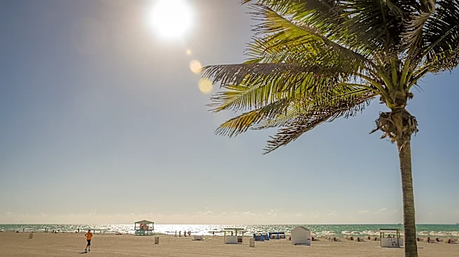
“I moved here from New York, so this is my first summer down here and we’ve been kind of cooking up in the (lifeguard) tower,” said Cade Delgado, a lifeguard with the Town of Palm Beach. “The last two weeks have been the hottest for me.”
When will Palm Beach County start seeing regularly cool temperatures?
From Key West’s southernmost point, to the beaches of Palm Beach County, to Perdido Key in the western Panhandle, summer’s peak heating is starting on a very subtle downslope into fall.
But of course, fall is not really fall in South Florida.
In South Florida, the first subtle cool fronts of the year typically begin arriving between September and mid-October, offering a brief drop in humidity and overnight lows dipping into the 60s.
Missing that true crisp weather to justify grabbing that pumpkin-spice latte and showing off your new sweater?
The more consistent humidity-free (or at least low) weather usually starts in late autumn or in the winter months like December, January and February.
Of course that's all months away.

Palm Beach County may get a small break from heat this weekend
Palm Beach County is sweltering, but rain could offer a hint of relief.
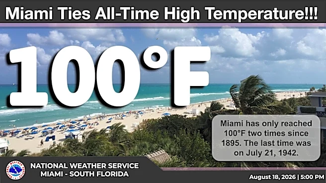
This week's heat has been especially brutal because a plume of Saharan dust kept rain chances low. A 96-degree temperature at Donald J. Trump International Airport near West Palm Beach tied a record high on Aug. 18.
But that dust is on its way out and a rush of moisture is moving in, said Nico Porcelli, a meteorologist with the National Weather Service in Miami.
The moisture will boost rain chances up to about 60% in Palm Beach County, with afternoon showers and thunderstorms expected every day this weekend. A cooldown could happen after storms roll through, but the storms will likely develop after temperatures have risen well into the 90s, so they wouldn’t limit the peak afternoon heat.

Parts of Florida experienced one of their warmest summers on record
Although summer's astronomical beginning is June 21 when solar radiation reaching Earth is at its highest, temperatures continue to rise for weeks after because the daytime sunshine and heat is greater than overnight cooldowns.
Meteorologically, summer begins June 1 and for many areas of the Peninsula, it’s already been a summer ranking in the top 10 warmest based on the average daily temperature through Aug. 12.
According to the SERCC, West Palm Beach, Key West, Miami, Fort Lauderdale, Naples, Fort Myers, Tampa Bay, Orlando and Ocala were even warmer than that, placing in the top five for warmest average temps between June 1 and Aug. 11.
The National Weather Service in Miami issued 28 heat advisories, which are based on humidity and temperature, between June 1 and Aug. 12 compared to 9 during the same period in 2025.
Miami-based NWS meteorologist Ana Torres-Vazquez said part of the increase can be attributed to big events this summer such as the FIFA World Cup where forecasters tried to account for people not accustomed to South Florida heat.
“We consider how well, or how badly, vulnerable populations will respond to a prolonged period of heat,” Torres-Vazquez said. “The things that a South Floridian might be able to deal with when they are going to the beach may not be the same as a tourist from Europe.”

Fort Lauderdale has had its hottest summer based on average temperatures through Aug. 12. It’s the second warmest summer for Miami and the fifth warmest for Naples.
Chris Fisher, also a meteorologist with the NWS in Miami, said part of the heat in South Florida is attributable to less rainfall and fewer clouds.
We're not cooling down partly because of a lack of rainfall
Areas from Orlando through the Keys are below normal for rainfall since the start of the rainy season on May 15. Parts of western Palm Beach County are down more than 6 inches.
"During the wet season we depend on those daily thunderstorms to help cool us down but we had long stretches with very little rainfall," Fisher said. "We had one stretch where there was no measurable rainfall for seven days in Palm Beach, Broward and Miami-Dade counties."
A lack of cooling rainfall also triggered a heat advisory for the Tampa Bay area Thursday, which is likely to be extended through Friday when temperatures are expected to reach into the upper 90s in some areas.
Is climate change making Florida summers hotter?
Underlying the summer temperatures is increasing heat because of an overall warming world, said Climate Central meteorologist Shel Winkley.
She said Florida has always been hot and humid during the summer months, but the intensity of the heat and how often it shows up can be traced to climate change. Since 1970, Florida has warmed by 2.5 degrees June through August.
"That may not sound like much, but think about what happens to your body when your temperature climbs just 2 degrees. You feel unwell," Winkley said. "Florida summers have that same fever, largely due to human-created heat trapping pollution."
"Miami, for example, now averages close to 120 days a year of dangerous humid heat up from 50 such days back in the 1970s," Winkley said.
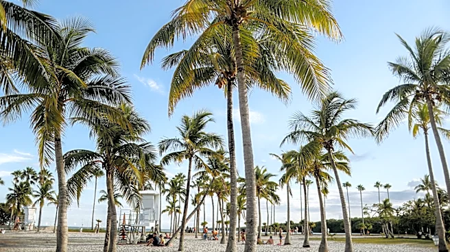
In Palm Beach, lifeguards said they’ve noticed an increase this month of people becoming dehydrated and hopping painfully on hot sand to get to the water, which isn’t much cooler than the air.
“People come up and say, ‘Hey, I’m a little dizzy,’” said Palm Beach lifeguard Lexington Bohn. “We advise drinking lots of water and bringing water with you.”
Hottest days of the year based on 2006-2020 maximum average daytime peak temperature:
- Fort Lauderdale, Aug. 7 - Aug. 17, 90.6 degrees
- Jacksonville Beach, Aug. 4 - Aug. 14, 89.5 degrees
- Juno Beach, Aug. 12 – 19, 91.2 degrees
- Key West, Aug. 6 - Aug. 13, 90.7 degrees
- Miami, Aug. 8 – 15, 91.1 degrees
- Melbourne, Aug. 5 – 17, 90.3 degrees
- Naples, Aug. 15 - Aug. 22, 92.1 degrees
- Orlando, Aug. 1 - Aug. 11, 92.2 degrees
- Palm Beach Gardens, Aug. 14-15, 89.9 degrees
- Pensacola, June 27 - July 7: 91.8 degrees
- Sarasota, Aug. 10 - Aug. 21, 92 degrees
- Stuart, Aug. 4 – 14, 91.3 degrees
- Tallahassee, July 24 - Aug. 6, 92.3 degrees
- Tampa, Aug. 18 – Aug. 22, 91.8 degrees
- West Palm Beach, Aug. 8 - Aug. 11
Source: NOAA National Centers for Environmental Information U.S. Climate Normals
The Palm Beach Post's Maya Washburn contributed to this story.
Kimberly Miller is a journalist for the USA TODAY NETWORK FLORIDA. She covers weather, the environment and critters as the Embracing Florida reporter. If you have news tips, please send them to kmiller@pbpost.com. You can get all of Florida’s best content directly in your inbox each weekday by signing up for the free newsletter, Florida TODAY, at palmbeachpost.com/newsletters.
This article originally appeared on Palm Beach Post: As Palm Beach County swelters, here's when cool temps usually arrive