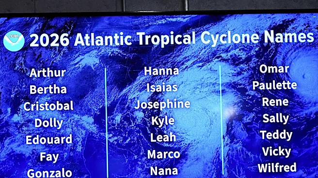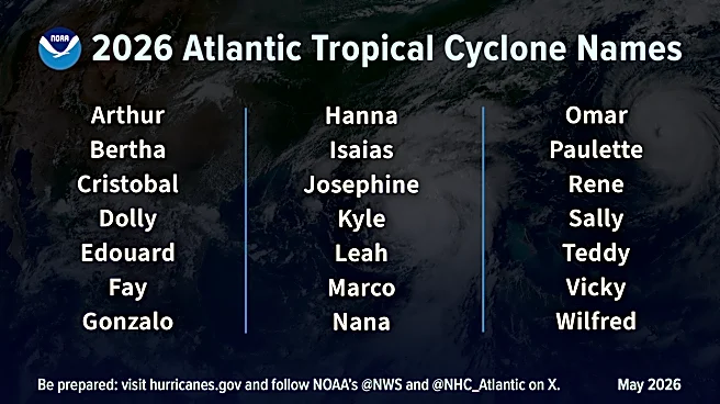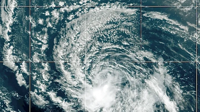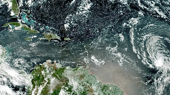

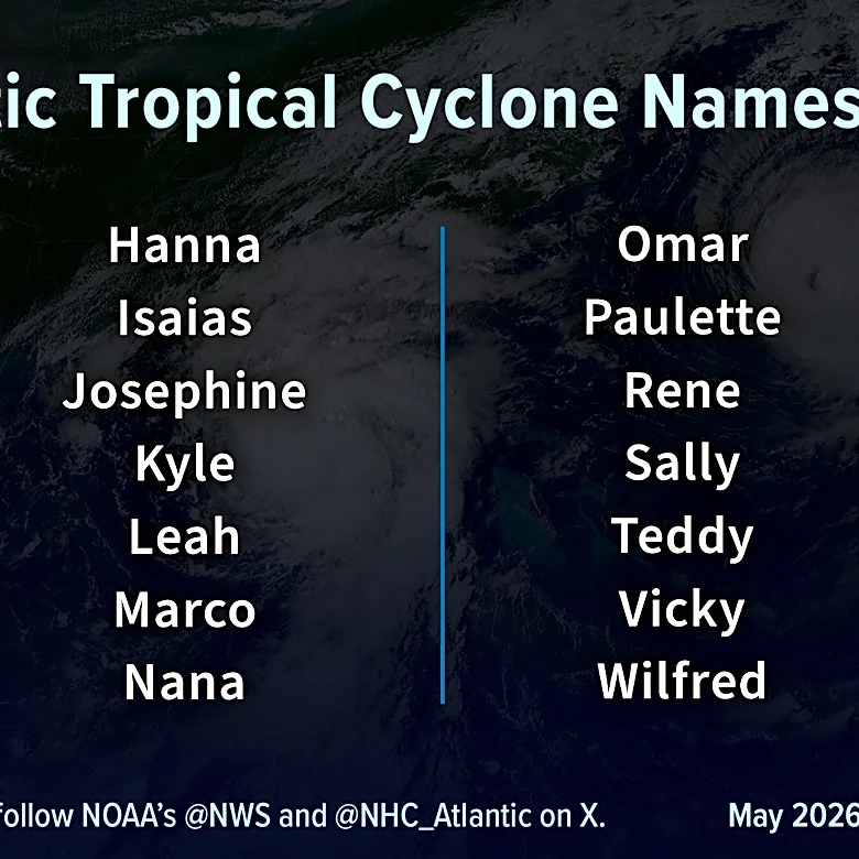
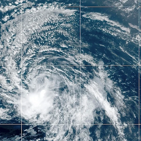


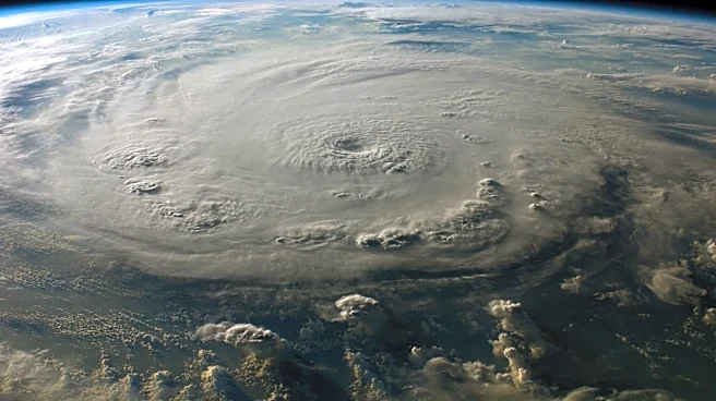
The fourth-named storm of the 2026 Atlantic hurricane season has formed in the central Atlantic.
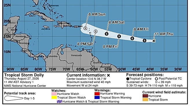
The National Hurricane Center issued its first advisory on Tropical Storm Dolly at 11 a.m. Aug. 27, warning residents of the Leeward Islands to monitor the system.
➤ Track Tropical Storm Dolly
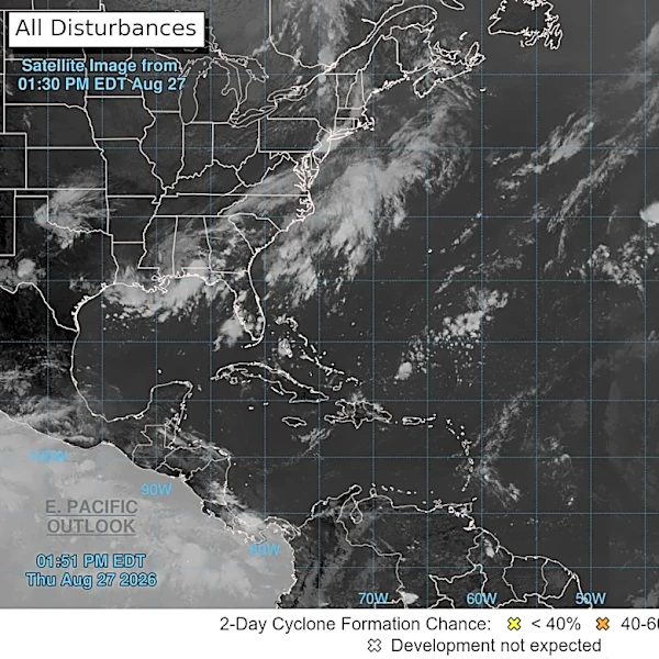
Should Palm Beach County residents be concerned?
While Dolly is expected to weaken Aug. 28, there is an "outside chance" enough of it will remain to reorganize next week, according to Dr. Ryan Truchelut, chief meteorologist at WeatherTiger, who works with the USA TODAY Network.
➤ Weather alerts via text: Sign up to get updates about current storms and weather events by location
We're now firmly in the peak period of the Atlantic hurricane season, so Palm Beach County
residents should always remain prepared.
Shop Amazon for hurricane prep
Historically, the fourth-named storm of the Atlantic hurricane season develops Aug. 15, putting Dolly almost two weeks behind the average.
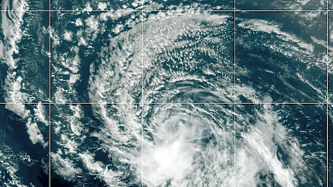
Invest 96L strengthens into Tropical Storm Dolly
Special note on the NHC cone: The forecast track shows the most likely path of the center of the storm. It does not illustrate the full width of the storm or its impacts, and the center of the storm could travel outside the cone. In 2026, the Hurricane Center will experiment with a new cone to include 90% of forecast track possibilities instead of the previous 67% forecast error.
- Location: 1,425 miles east of the Leeward Islands
- Maximum wind speed: 40 mph
- Direction: west at 24 mph
➤ Track Tropical Storm Dolly
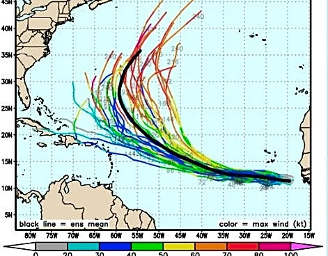
Spaghetti models for Tropical Storm Dolly
Special note about spaghetti models: Illustrations include an array of forecast tools and models, and not all are created equal. The Hurricane Center uses only the top four or five highest performing models to help make its forecasts.
➤ Spaghetti models for Tropical Storm Dolly
What impact could Tropical Storm Dolly have on South Florida or Palm Beach County?
As expected, Invest 96L strengthened early Aug. 27 and became Tropical Storm Dolly shortly after 10 a.m. ET, according to the National Hurricane Center.
Dolly is expected to be a short-lived tropical storm as it runs into wind shear and dry air.
➤ Tropical Storm Dolly forms 2 days after Dolly Parton dies
However, there is an "outside chance" enough of Dolly remains to re-organize next week in the western Atlantic or even the Gulf, Truchelut said.
"Overall, I would not be even a little concerned about 96L (now Dolly) at this stage, though I would check back early next week if you’re in Florida or the Southeast," Truchelut said.
"We should know more about the steering situation by then, as well as whether 96L (Dolly) itself has been eradicated or merely decimated by shear and land interaction."
There are three possibilities that could affect its future, according to Truchelut.
Those three scenarios are:
- The storm "flops," as it runs into wind shear and dry air. This is the most likely scenario, Truchelut said.
- Invest 96L is able to become a depression or tropical storm. Most models suggesting this possibility still show it weakening by the time it reaches the eastern Caribbean islands.
- There's an "outside chance" the wave re-organizes later next week in the western Atlantic or even the Gulf. "Such a scenario would, theoretically, pique our interest in Florida and Southeast U.S."
After going through a stretch of dry air and wind shear, Dolly could run into a more favorable environment for development near the Bahamas, according to AccuWeather.
“The key is that there has to be something to develop,” said Alex DaSilva, AccuWeather lead hurricane expert.
“If the wave just gets ripped apart by the shear near the Lesser Antilles, it may never develop. But, if the storm can stay together long enough, the conditions around the Bahamas could allow a storm to organize. It’s certainly worth monitoring if you live along the east coast of the U.S.”
How strong is Tropical Storm Dolly and where is it going?
At 5 p.m. ET, the center of Tropical Storm Dolly was located near latitude 13.7 North, longitude 40.7 West.
Dolly is moving toward the west near 24 mph, and this motion is expected to continue for the next couple of days.
On the forecast track, this system should be nearing the Leeward Islands this weekend.
Maximum sustained winds remain near 40 mph with higher gusts. Little change in strength is likely during the next 48 hours, and Dolly is forecast to degenerate into a tropical wave before it reaches the Leeward Islands.
Tropical-storm-force winds extend outward up to 60 miles from the center.
See timing of Tropical Storm Dolly impacts to Caribbean islands
Heavy rain from Dolly could affect the Leeward Islands late Saturday into Sunday, with rainfall moving into the Virgin Islands, Puerto Rico and Hispaniola Sunday and Monday.
This heavy rain may produce flash flooding, especially in areas of higher terrain of the Leeward Islands.
Stay informed. Get weather alerts via text
What's next?
We will continue to update our tropical weather coverage to bring you the most current information you need to protect your home and family.
Cheryl McCloud is a journalist for the USA TODAY Network-Florida's service journalism Connect team. You can get all of Florida’s best content directly in your inbox each weekday day by signing up for the free newsletter, Florida TODAY, at https://naplesnews.com/newsletters.
This article originally appeared on Palm Beach Post: Should Palm Beach County be concerned about Tropical Storm Dolly?
Our editors independently choose our recommendations. Some content is produced with paid support from a third party, however our editorial decisions remain independent. If you buy through our links, the USA TODAY Network may earn a commission. Prices and availability may change.