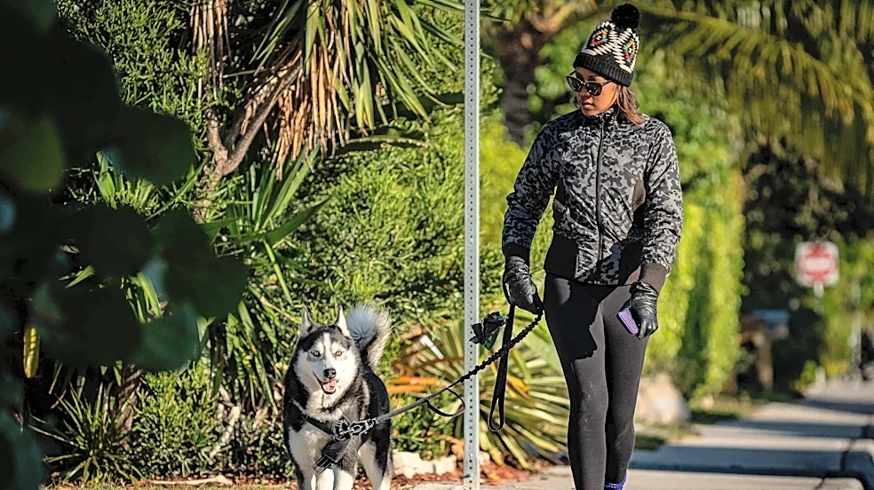


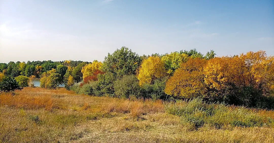

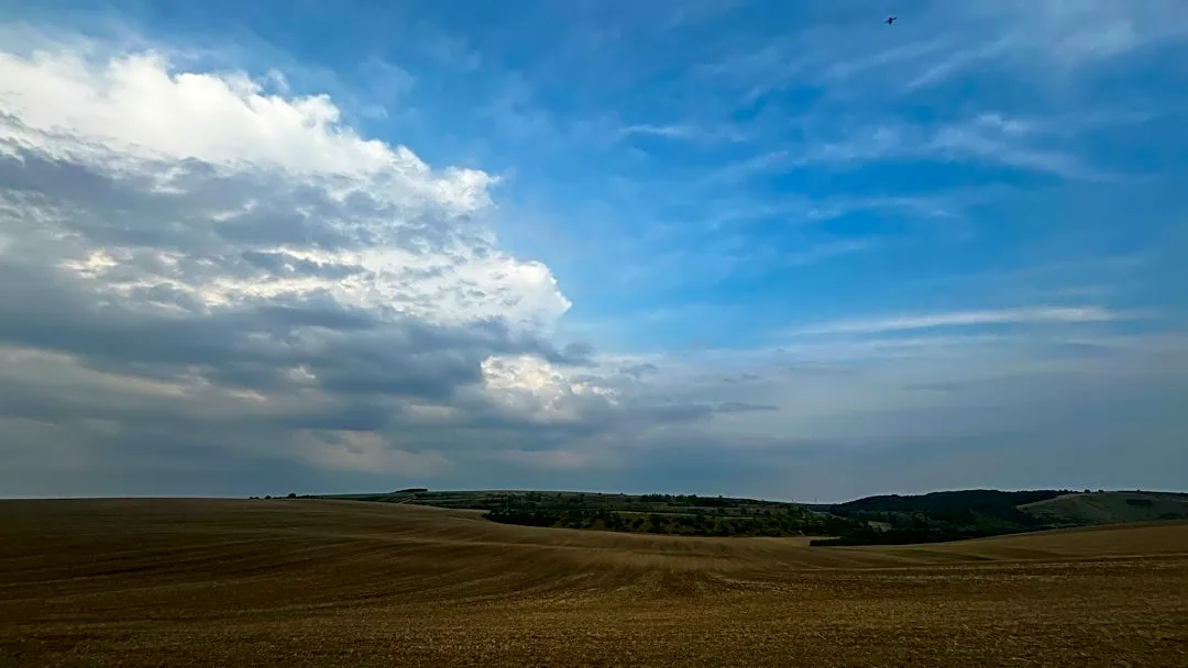



It’s a classic Florida fall in Palm Beach County. While there is no vibrant orange and red foliage and no need to break out the flannels, it’s breezy and the air feels cool and crisp.
A cold front that blew through the Palm Beach County area on Sunday, Oct. 18, left cooler temperatures and wind in its wake.
Low temperatures in metro Palm Beach County this week are tumbling down into the low 70s, with high temperatures in the lower to mid-80s, according to Robert Molleda, a meteorologist with the National Weather Service in Miami.
Low temperatures could dip even lower — into the upper 60s — in areas west of Florida’s Turnpike and it is possible that some spots closer to the coast could see temperatures a little below 70. Temperatures will noticeably,
but not drastically, drop more on Wednesday, Oct. 21.
“It's nothing that I would say is out of the ordinary,” Molleda said. “Temperatures are probably not that far from the normal for this time of year. … We're definitely past the peak of the warmest time of the year.”
Rough beach conditions this week in Palm Beach County
Rain chances steadily rise this week at below 20% on Tuesday, Oct. 20, at about 30% on Wednesday, Oct. 21, and Thursday, Oct. 22, and at about 50% to 60% on Friday, Oct. 23. There could be another jump in moisture on Friday, Oct. 23, through the weekend from an upper-level low-pressure system combining with onshore flow from the Atlantic Ocean, Molleda said.
Beach conditions will be rough this week. Palm Beach County is under a high surf advisory until 8 a.m. Wednesday, Oct. 21, and a high rip current risk through the night of Thursday, Oct. 22, according to a weather service surf forecast.
Onshore winds will be high at about 25 miles an hour on Tuesday, Oct. 20. They will briefly come down, but pick up again later in the week.
“We're still going to carry a risk of high surf all the way through the week,” Molleda said. “(It’s) no going to be a good week at the beach as far as swimming is concerned.”
Palm Beach County will get a combination of impacts from local winds and a distant low-pressure system in the Atlantic that is sparking choppy, high waves in the Atlantic waters, Molleda said. The waves were projected to reach as high as 12 feet on Monday, Oct. 19. He expects to see waves of at least 6 or 8 feet for most of the week.
What kind of winter will it be?

The Climate Predication Center’s seasonal outlook predicts near-normal temperatures and above-normal rainfall from December through February, Molleda said. That trend could continue through April.
Bitter cold air struck Palm Beach County last winter. Cold-weather shelters opened, plants froze and dead iguanas fell from trees. There might be fewer of those types of cold snaps this year.
Strong El Niño events — like the one that is expected this winter — can limit the amount of Arctic air that comes down from the north.
There might be a different threat. A strong El Niño can lead to more severe weather events during the winter, particularly those that can produce tornadoes.
“We want to make sure people understand that because that's really what could impact us the most,” Molleda said. “We don't know how many tornado outbreaks we're going to have. We don't know exactly where. … But the general pattern, however, could be in place for at least a general increase in the number of severe weather and tornado events across the state of Florida, including Central and South Florida.”
Maya Washburn is a Trending News Reporter for The Palm Beach Post, part of the USA TODAY Florida-Network. Reach her at mwashburn@pbpost.com. Support local journalism: Subscribe today.
This article originally appeared on Palm Beach Post: It feels like fall. Cold front brings breezy air to Palm Beach County