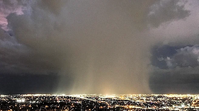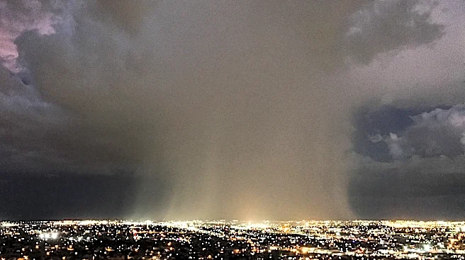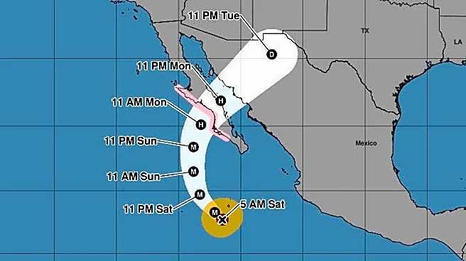




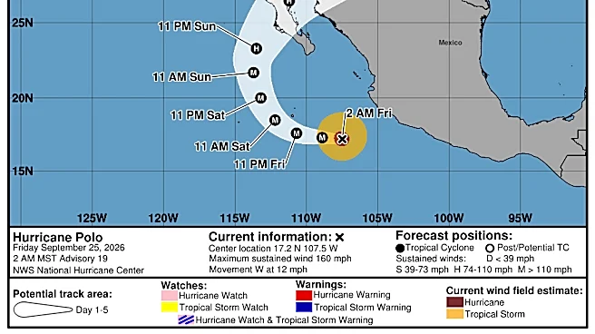
El Paso and parts of New Mexico are under a flood watch this week as Hurricane Polo is forecast to approach Mexico.
The flood watch is in place from 12 p.m. Monday, Sept. 28, through Tuesday night until 6 a.m. Wednesday, Sept. 30, as widespread showers and storms can produce heavy rain. Multiple rounds of rain are expected, with rain totals reaching up to four inches, according to the National Weather Service.
The storms are headed to El Paso, as Hurricane Polo is forecast to move northeastward toward New Mexico and far West Texas after making landfall along Mexico's Pacific coast.

Here’s when the region has the highest chances of rain:
Monday night: The first round of heavy rain is expected. El Paso has a 5% chance of rain at noon Monday, Sept.
28, rising to 65% between 6 p.m. and midnight.
Tuesday: The morning may be calm, but a second round of storms is expected as the remnants of Hurricane Polo move through the region. Rain chances reach 95% by noon and remain high, at 75%, around 6 p.m.
Rain could continue overnight, with chances falling by 6 a.m. Wednesday, Sept, 30.
Some areas, including Alamogordo, Cloudcroft and Deming, are forecast to have a 100% chance of rain Tuesday.

Flash flooding is also a concern as recent storms have already saturated the area, meaning even minimal rain can cause water to accumulate, according to the National Weather Service.
El Paso and the surrounding region face a slight risk of excessive rainfall that could cause flash flooding Monday, Sept. 28. The risk is expected to increase to moderate on Tuesday.

What do I do before a flood?
Sometimes floods develop slowly and forecasters can anticipate where a flood will happen days or weeks before it occurs. Oftentimes, flash floods can occur within minutes and sometimes without any sign of rain. Being prepared can save your life and give you peace of mind.
- Create a Communications Plan
- Assemble an Emergency Kit
- Know Your Risk
- Sign Up for Notifications
- Prepare Your Home
- Prepare your Family/Pets
- Charge Your Essential Electronics
- Leave
Safety tips during a flood
During a flood, water levels and the rate at which water flows can change quickly. Remain aware and monitor local radio and television outlets. Avoid floodwaters at all costs and evacuate immediately when water starts to rise.
- Stay Informed: Listen to radio and television, including NOAA Weather Radio if possible; check the Internet and social media for information and updates.
- Get to Higher Ground: If you live in a flood-prone area or are camping in a low-lying area, get to higher ground immediately.
- Obey Evacuation Orders: If told to evacuate, do so immediately. Lock your home when you leave. If you have time, disconnect utilities and appliances.
- Practice Electrical Safety: Don't go into a basement, or any room, if water covers the electrical outlets or if cords are submerged. If you see sparks or hear buzzing, crackling, snapping or popping noises, get out. Stay out of water that may contain electricity.
- Avoid Flood Waters: Don't walk through flood waters. It only takes 6 inches of moving water to knock you off your feet. If you are trapped by moving water, move to the highest possible point and call 911 if possible.
What if I'm stuck in a vehicle during a flood?
- Do NOT drive into flooded roadways or around a barricade. Water may be deeper than it appears and can hide hazards such as sharp objects, washed-out road surfaces, electrical wires, chemicals, etc. A vehicle caught in swiftly moving water can be swept away in seconds. 12 inches of water can float a car or small SUV; 18 inches of water can carry away large vehicles.
Natassia Paloma may be reached at npaloma@gannett.com, @NatassiaPaloma on X, natassia_paloma on Instagram, and Natassia Paloma on Facebook.
This article originally appeared on El Paso Times: Is it going to rain today in El Paso? See Hurricane Polo storm timeline