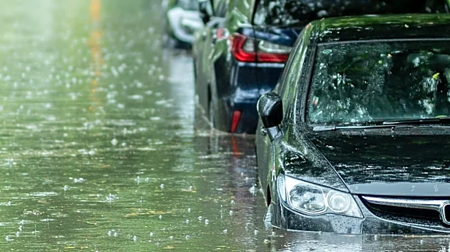

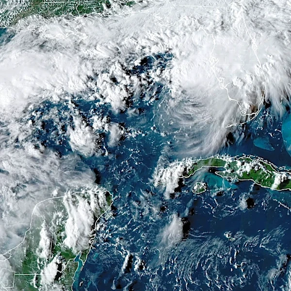


Sarasota and Manatee counties could face more heavy rain, localized flooding and dangerous beach conditions this week as Tropical Storm Isaias strengthens in the Gulf and heads toward the northern Gulf Coast.
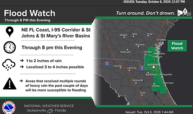
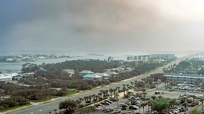
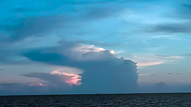
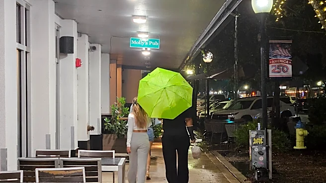
After heavy rain swept through downtown Sarasota Tuesday night, Oct. 6, the National Weather Service forecast a wet pattern across west-central and southwest Florida over the next several days.
Forecasters warned that locally heavy rainfall could cause minor flooding in urban and low-lying areas, with the highest totals likely near the coast.

➤ Track Tropical Storm Isaias
A stalled front and abundant tropical moisture will help fuel the rain Wednesday and Thursday. As Isaias moves north, widespread showers and scattered thunderstorms are expected
Friday and likely again Saturday. Increasing swells could bring dangerous rip currents to Sarasota and Manatee beaches late Thursday night and Friday, depending on the storm’s strength and track. Boating conditions also are expected to deteriorate.
➤ Weather alerts via text: Sign up to get updates about current storms and weather events by location
Isaias formed early Wednesday and is forecast to become a hurricane Thursday. The National Hurricane Center expects the storm to approach the northern Gulf Coast Friday. No coastal watches or warnings were in effect in its 5 a.m. advisory.
Shop Amazon for hurricane supplies
Here’s what Sarasota and Manatee residents should know.
Where is Tropical Storm Isaias?
- Location: about 580 miles southwest of the mouth of the Mississippi River; 721 miles southwest of Pensacola
- Winds: 40 mph
- Movement: east-northeast at 8 mph
- Pressure: 1004MB
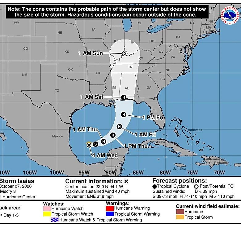
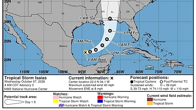
At 5 a.m. ET, the center of Tropical Storm Isaias was located near latitude 22.0 North, longitude 94.1 West.
Isaias is moving toward the east-northeast near 8 mph. A continued east-northeastward motion is expected today, followed by a turn toward the northeast and north on Thursday and Friday.
On the forecast track, Isaias is expected to pass to the north of the Yucatan Peninsula on Thursday and approach the U.S. northern Gulf Coast on Friday.
Maximum sustained winds have increased to near 40 mph, with higher gusts. Tropical-storm-force winds extend outward up to 45 miles from the center.
Rapid strengthening is forecast over the next day or two, and Isaias is expected to become a hurricane by Thursday.
The estimated minimum central pressure is 1004 mb
See spaghetti models for Tropical Storm Isaias
Special note about spaghetti models: Spaghetti model illustrations include an array of forecast tools and models, and not all are created equal. The Hurricane Center uses only the top four or five highest performing models to help make its forecasts.
Is there a hurricane coming toward Florida?
Yes. Tropical Storm Isaias is expected to strengthen quickly and become a hurricane by Thursday, Oct. 8.
Maximum sustained winds are forecast to hit 110 mph within 48 hours, making it a very strong Category 2 hurricane. A Category 3 hurricane has maximum sustained winds of 111 mph.
Gulf Coast residents from the Florida Panhandle to Louisiana were advised to closely monitor Isaias and prepare for impacts later this week and into the weekend.
What impacts could Isaias have on Florida?
The National Weather Service offices in Mobile and Tallahassee said residents could see high winds, heavy rainfall leading to flash flooding, storm surge and the possibility of tornadoes associated with Isaias.
From Friday through the weekend, Isaias could bring 3-6 inches of rain across the northern Gulf Coast, from southeastern Louisiana to the Florida Panhandle, according to the National Hurricane Center.
"The most substantial impact from the brewing storm will be from heavy rainfall," AccuWeather said.
The worst of the wind damage and coastal storm surge flooding are expected near and just east of where it makes landfall, according to AccuWeather.
"Based on the storm becoming a hurricane prior to landfall, wind gusts of 100-120 mph are forecast near and just east of the center."
"Another hazard from the storm will be the risk of severe thunderstorms, including tornadoes and waterspouts," AccuWeather Chief On-Air Meteorologist Bernie Rayno said. "The bulk of the severe weather is likely near and east of the center, but that risk can extend for hundreds of miles to the east this weekend."
See latest weather watches, warnings issued for Florida
As of 5 a.m. Oct. 7, no watches or warnings associated with Isaias have been issued for Florida.
The National Hurricane Center said hurricane and storm surge watches will likely be required for a portion of the U.S. northern Gulf Coast later today.
Florida weather radar for Oct. 7, 2026

Countdown clock to end of 2026 Atlantic hurricane season
Stay informed. Get weather alerts via text
What's next?
We will continue to update our tropical weather coverage to bring you the most current information you need to protect your home and family.
Wade Tatangelo is the executive editor of the Sarasota Herald-Tribune and Florida dining and entertainment editor for the USA TODAY Network. Follow him on Facebook, Instagram, and X. He can be reached by email at wade.tatangelo@heraldtribune.com. Support local journalism by subscribing.
Cheryl McCloud is a journalist for the USA TODAY Network-Florida's service journalism Connect team. You can get all of Florida’s best content directly in your inbox each weekday day by signing up for the free newsletter, Florida TODAY, at naplesnews.com/newsletters.
This article originally appeared on Sarasota Herald-Tribune: Tropical Storm Isaias forms. What Sarasota and Bradenton can expect
Our editors independently choose our recommendations. Some content is produced with paid support from a third party, however our editorial decisions remain independent. If you buy through our links, the USA TODAY Network may earn a commission. Prices and availability may change.