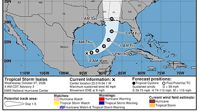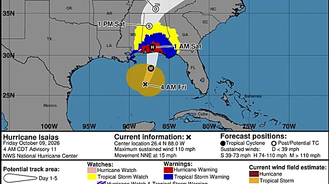








Southeast Michigan is expected to see rain early Sunday, Oct. 11, as the remnants of Hurricane Isaias move toward the Ohio Valley.
According to the National Weather Service, there is a slight chance of light showers Friday night, Oct. 9, into early Saturday, Oct. 10. However, the rest of Saturday is expected to be warm, with highs reaching the mid to upper 70s.
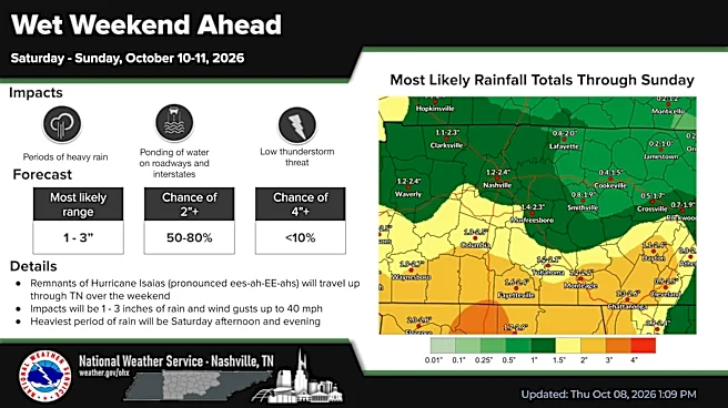
Rain is forecast to spread across southeast Michigan late Saturday night into Sunday morning as the remnants of Isaias move northeast through the southeastern United States and into the Ohio Valley, NWS meteorologist Dave Cook said.
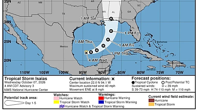
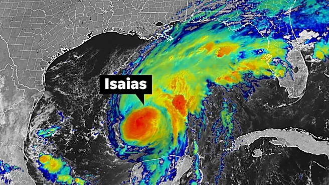
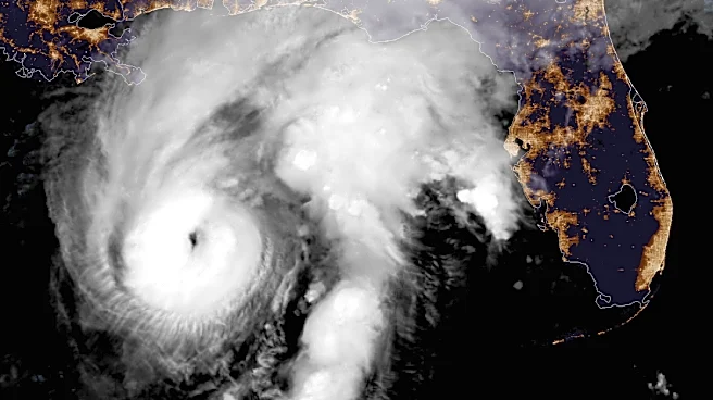
As of Friday morning, Isaias had sustained winds of about 120 mph, making it a Category 3 hurricane, according to the National Hurricane Center. The storm is
moving north-northeast at about 16 mph and is expected to turn north Saturday.
Clouds and rain associated with the storm's remnants are expected to keep Sunday temperatures in the mid-60s across most of southeast Michigan.
A brief warmup is expected Monday, Oct. 12, with highs returning to the mid to upper 70s ahead of a separate weather system. Cook said a cold front will move through Monday night, bringing another round of showers overnight into Tuesday, Oct. 13.
Next week's rain will not be connected to the remnants of Isaias.
"That will have passed. That'll be east of the U.S. By then, it'll be pushed offshore, and this will be a new cold front coming down from Canada," Cook said.
After Tuesday, the cold front will usher in lower temperatures, with highs forecast to stay in the lower 60s from Wednesday, Oct. 14 through the end of the week.
Nour Rahal is a trending and breaking news reporter for the Detroit Free Press. Email her at nrahal@freep.com
This article originally appeared on Detroit Free Press: Hurricane Isaias could bring rain to southeast Michigan on Sunday