



Scattered storms are expected to move through Michigan's Lower Peninsula on Thursday, Aug. 6.
Storms are expected to develop Thursday evening, Aug. 6, and move northeast through the Lower Peninsula. Severe conditions are not expected, but wind gusts could reach 40 mph, and heavy rain could cause localized flooding, according to the National Weather Services' hazardous weather outlook.
In a 24-hour window, the heaviest rainfall is forecast in the southern Lower Peninsula with up to an inch of rain possible by Friday morning, Aug. 7, according to the expected rain totals shown on the NWS Probabilistic Precipitation Portal.
The Detroit NWS expects rain chances to persist in southeast Michigan over the weekend.
"The chance for thunderstorms continues
Friday (Aug. 7) as the frontal boundary lingers in the vicinity. Severe weather is not likely at this time. Additional thunderstorms are possible at times from this weekend into early next week," the Detroit National Weather Service said.
The Upper Peninsula is expected to stay mostly dry on Thursday, Aug. 6, with increasing chances of rain on Friday, Aug. 7.
"Sunny, quiet, and warm weather is expected today (Aug. 6) ahead of rain chances beginning late Friday afternoon (Aug. 7). Expect highs in the upper 70s to mid 80s today and Friday. Dry weather returns Saturday (Aug. 8)," the Marquette NWS posted on X on Aug. 5.
On Thursday, Aug. 6, temperatures will range mainly in the 80s statewide.
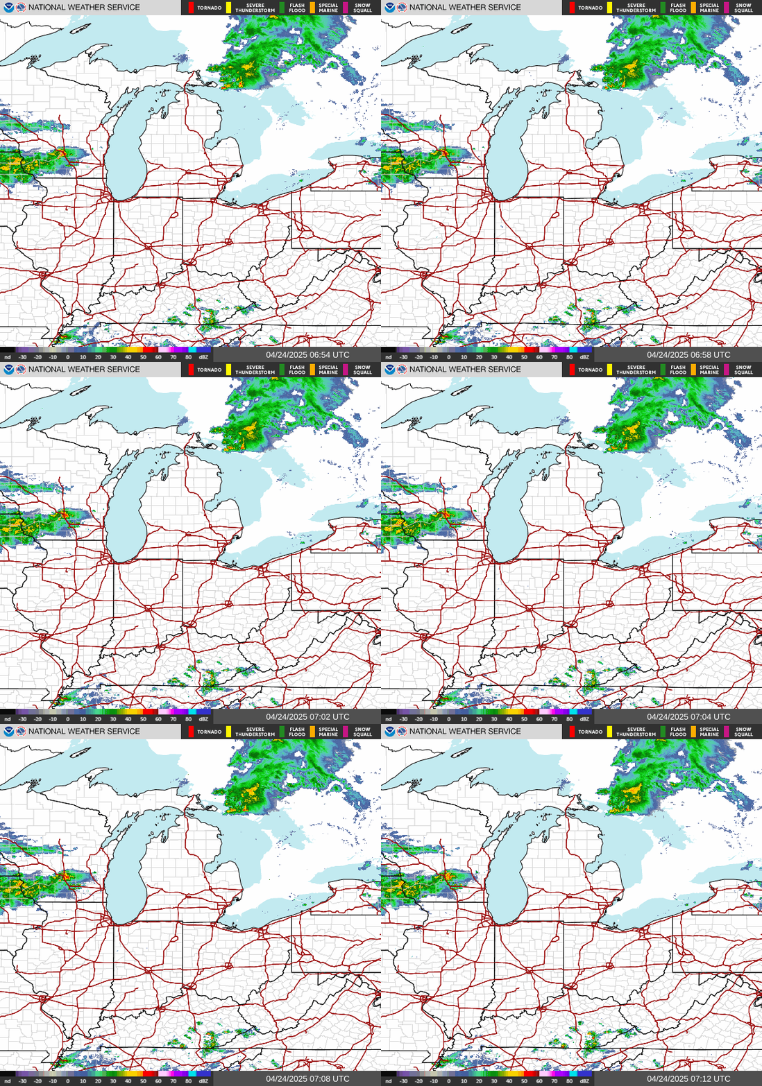
Here's the live radar to track storms coming to Michigan:
Where are storms moving in Michigan? Live Doppler radar
Current weather warnings, advisories and watches in Michigan
Contact Sarah Moore @ smoore@lsj.com
This article originally appeared on Detroit Free Press: Additional rounds of rain expected Thursday in Michigan. See live radar