
Scattered severe storms will track across Michigan on Monday, July 27, and into the overnight hours, bringing large hail, damaging winds, flash floods and tornadoes as possible threats.
Thunderstorms on
Monday are predicted to produce the most severe conditions in the southern Lower Peninsula impacting Greater Lansing, Metro Detroit, Grand Rapids, Ann Arbor, Kalamazoo, Muskegon, Benton Harbor and Monroe, according to the National Weather Service Storm Prediction Center.
Isolated tornadoes, 1-inch hail, 60-70 mph wind gusts, lightning and localized flash floods are the severe weather threats for Monday, July 27.
In southeast Michigan, the most likely storm-window is from 2 p.m. to midnight, though storms could arrive as early a noon, according to the NWS in Detroit.
Two large clusters of storm systems have already developed in the western Upper Peninsula and along the coast of Lake Michigan shifting southeast Monday morning — special marine warnings and severe thunderstorm warnings have been issued for large waves, hail, powerful winds and flooding.
Statewide, highs range in the 80s on Monday, July 27.
Residents are urged to have multiple ways of receiving weather alerts during the day and night.
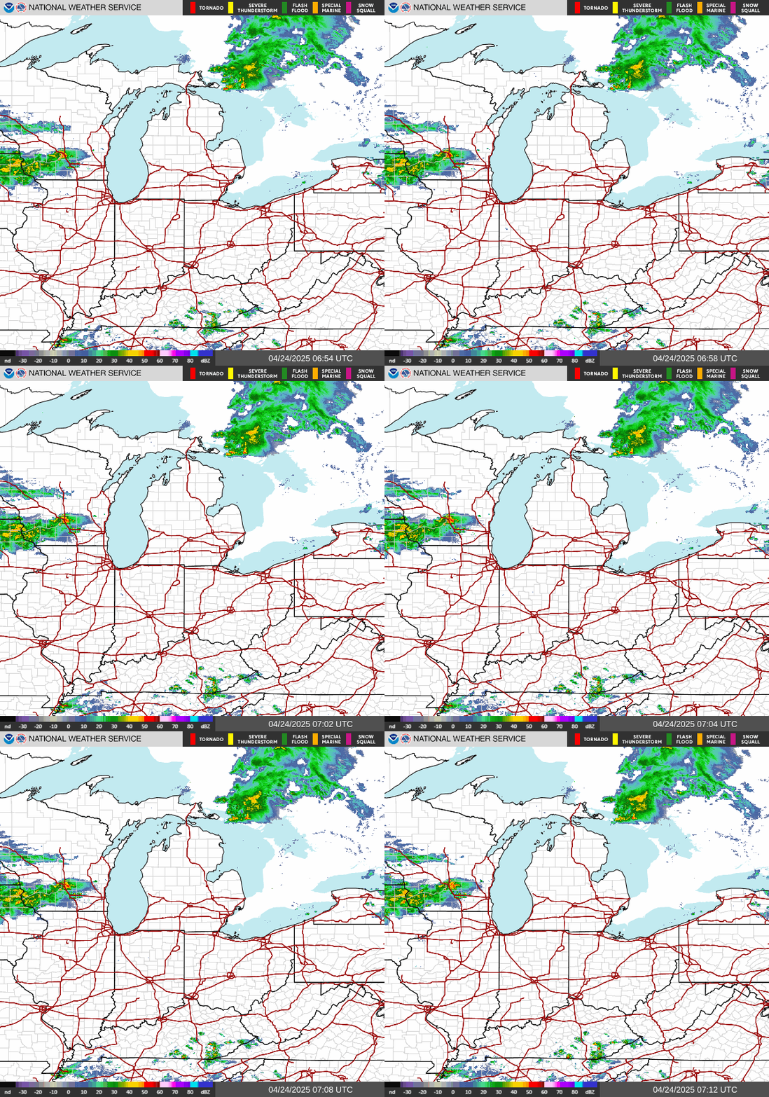
Here's the live radar and the current weather alerts issued for Michigan:
Where are storms moving in Michigan? Live Doppler radar
Current weather warnings, watches and advisories in Michigan
Contact Sarah Moore @ smoore@lsj.com
This article originally appeared on Detroit Free Press: Severe storms to track across Michigan on Monday. See forecast, radar