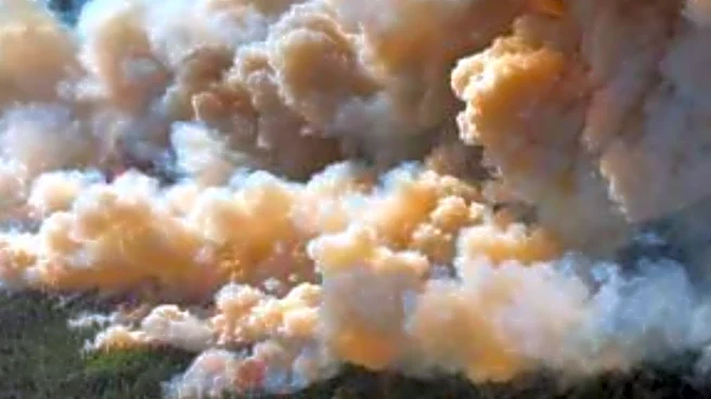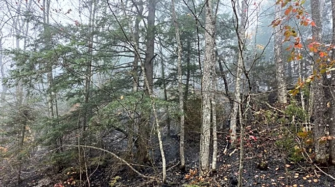


Cooler temperatures and higher humidity have helped slow two wildfires in Michigan's Upper Peninsula that have burned for at least four days.
Both fires were both spotted by a Department of Natural Resources pilot on Friday, Oct. 9. A fire near Craig Lake State Park in Baraga was discovered at 1:48 p.m. and the Ridge Fire, located 10 miles northwest of Marquette and north of the Dead River Basin, was discovered at 3:55 p.m. that day.
“We’re grateful for the changing weather conditions that have allowed us to make some containment progress on both fires,” said Nate Stearns, Michigan Department of Natural Resourcesincident commander. “Public safety and firefighter safety remain our top priority.”
The Ridge Fire has burned about 450 acres and is now
estimated to be 20% contained. The Craig Lake Fire has burned about 400 acres is 25% contained.

The DNR has more than 50 firefighters on the ground at both fires — 34 battling the Ridge Fire and 17 at Craig Lake. An 18-person DNR Incident Management Team is managing both fires. Additional support is being provided by Michigan State Police, Marquette County Sheriff’s Office, the DNR Law Enforcement Division and the Red Cross, among others.
Craig Lake State Park is among the most remote in Michigan, and many areas are only accessible on foot, officials said. Firefighters are using hand tools to establish containment lines.
An evacuation order issued because of heavy smoke that blanketed areas south of both fires, has been lifted for residents along County Road 510. The Noquemanon Trail system west of the trailhead on County Road 510 remains closed.

Additionally, an air quality alert has been issued for Baraga, Marquette, Iron, Dickinson and Menominee counties. Officials say residents should reduce long or intense outdoor activities because of wildfire smoke.
A temporary flight restriction remains is in place over both fires for a 5-mile radius and below 3,500 feet.
The cause of both fires is still under investigation, officials said.
See current air quality
The map below displays the current air quality at monitoring sites in the U.S., Canada and Mexico. Air monitoring sites are color-coded based on the pollutant (ozone or particulate matter) with the highest value. Particles that are less than 10 micrometers and 2.5 micrometers in diameter are called PM10 and PM2.5, respectively.
An AQI of 50 or below means the current air quality is good. The shaded areas of the map show the approximate boundaries where air quality is available and listed as anything other than good. The information is updated hourly.
Jalen Williams is a trending reporter at the Detroit Free Press. Contact him at jawilliams1@freepress.com.
This article originally appeared on Detroit Free Press: Firefighters make progress against U.P. blazes. What's happening now