
Gov. Kathy Hochul is urging New Yorkers to use caution as strong to severe thunderstorms move into parts of Western and Central New York and the Finger Lakes Wednesday afternoon and evening.
The storms
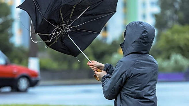
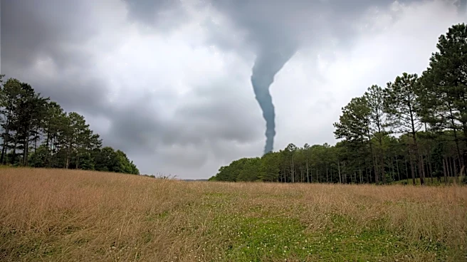
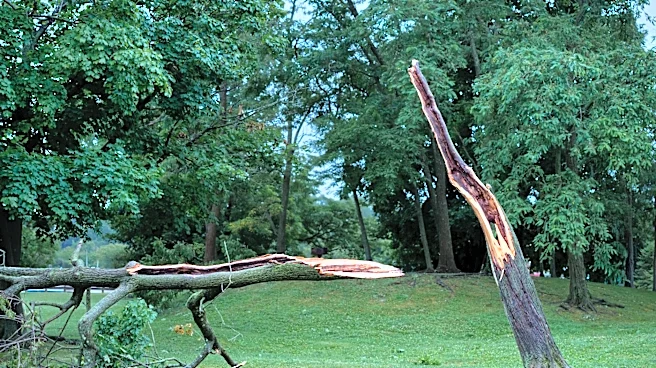
could bring damaging winds, heavy rain, large hail and isolated tornadoes. Rainfall rates of more than 1.5 inches per hour are possible, with more than 2 inches of rain expected in some areas and localized totals exceeding 4 inches.
Wind gusts of more than 60 mph and hail larger than 1 inch are also possible.
“It’s the season for quick changes in weather for New York and it’s important to be prepared with the increased risk for severe storms that are impacting New York this evening,” Hochul said. “I urge all New Yorkers to exercise caution by staying weather aware and monitoring your local forecast for rapidly changing conditions.”
Tornado watch issued for 29 counties
The National Weather Service Storm Prediction Center issued Tornado Watch 645 Wednesday afternoon covering 29 New York counties. The watch is in effect until 11 p.m.
A tornado watch means conditions are favorable for tornadoes and severe thunderstorms to develop. It does not mean a tornado has been confirmed or that one is occurring.
The watch includes Allegany, Broome, Cattaraugus, Cayuga, Chautauqua, Chemung, Chenango, Cortland, Erie, Genesee, Jefferson, Lewis, Livingston, Madison, Monroe, Niagara, Oneida, Onondaga, Ontario, Orleans, Oswego, Schuyler, Seneca, Steuben, Tioga, Tompkins, Wayne, Wyoming and Yates counties.
Flood watch also in effect
A Flood Watch is in effect for parts of Central New York, the Southern Tier, Finger Lakes and Mohawk Valley beginning at 4 p.m. Wednesday and continuing into Thursday morning.
Hochul has directed state agencies to monitor the storm and be prepared to respond to local requests for assistance. The State Watch Center is also monitoring the storm track and impacts across New York.
Residents should monitor their local forecasts and weather watches and warnings as conditions change.
How to stay safe during severe weather
If you can hear thunder, you are close enough to the storm to be struck by lightning. Move inside a sturdy building and stay away from windows.
Residents should also:
- Avoid unnecessary travel during severe weather.
- Bring pets indoors and secure outdoor items that could become airborne in strong winds.
- Keep phones charged and have food, water, flashlights and medications available in case of a power outage.
- Stay away from downed power lines.
- Never walk or drive through floodwaters. Turn around rather than attempting to cross.
If a tornado warning is issued, move to an interior room on the lowest floor of a sturdy building and stay away from windows. People in mobile homes or vehicles should seek sturdy shelter immediately.
Sign up for emergency alerts
New Yorkers should make sure government emergency alerts are enabled on their mobile phones.
Residents can also sign up for real-time weather and emergency alerts by texting their county or borough name to 333111.
For current weather watches and warnings, visit the National Weather Service. Additional preparedness information is available through the New York State Division of Homeland Security and Emergency Services.
This article originally appeared on Rochester Democrat and Chronicle: Hochul urges caution as severe storms, tornado threat hit New York