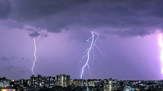




The National Weather Service in Buffalo will send multiple storm survey teams out Thursday morning to assess damage caused by severe thunderstorms that swept through Western New York Wednesday night.
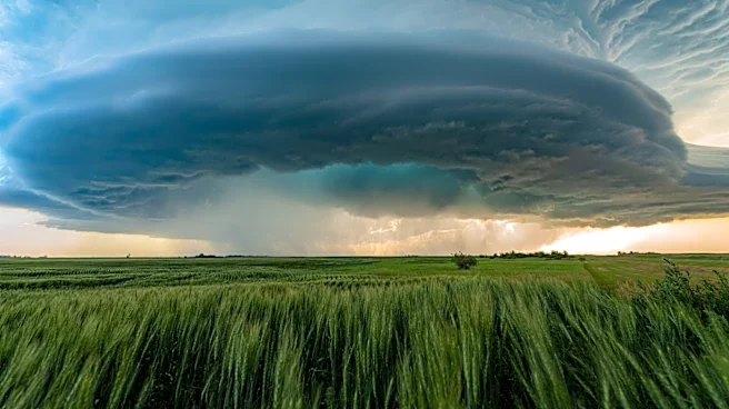
The Weather Service will determine whether any tornadoes touched down as a supercell moved through the region. Six tornado warnings were issued Wednesday night across Western New York, and the Weather Service received numerous reports of damage, primarily to trees. Reports included snapped tree trunks, large branches and trees that fell onto homes.
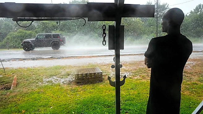
Strong winds were accompanied by heavy rain, which also raised concerns about flooding. Several flood warnings were issued in Orleans and Monroe counties because of excessive rainfall.
Tens of thousands
of people across the region lost power during the storms Wednesday, according to utility companies. Many customers had their power restored overnight, but thousands remained without electricity Thursday morning.
Did tornadoes touch down in Western New York?
As of Thursday morning, forecasters had not determined whether one or more tornadoes touched down in Western New York Wednesday evening. Survey teams will examine several areas where damage was reported, including:
- Amherst, Erie County: Numerous reports of trees and branches falling onto homes.
- Olcott, Niagara County: A waterspout reportedly moved onto land.
- Shelby, Orleans County: A tornado was reportedly observed moving through the area and into Genesee County, with a possible track into Livingston County.
A large tree also fell onto a house on Hard Road in Webster, Monroe County.
#Rochester #Weather #LakeAmerica pic.twitter.com/5Tz3YWhOTw
— Joseph Frascati (@joey_frascati) September 3, 2026
Wind gusts
The strongest wind gust reported was 59 mph in Wellsville, Allegany County, according to the Weather Service.
At Buffalo Niagara International Airport and Frederick Douglass Greater Rochester International Airport, the strongest gusts recorded were 46 mph and 35 mph, respectively, according to Weather Service data.
Tornadic wall cloud coming onshore in Olcott beach NY around 6:04 pm #NYwx pic.twitter.com/BRnTkawJDc
— Will McWeather (@Billy_Ch4os) September 2, 2026
Tornadoes in New York
Since 1950, New York has experienced more than 500 tornadoes, with the majority being relatively weak EF0 or EF1 tornadoes. The state has also experienced several significant tornado events, including the devastating outbreak of May 31, 1985, which produced several powerful tornadoes, including an EF4 in Chenango County.
While tornadoes are less common in New York than in the Midwest, they remain an occasional and sometimes destructive part of the state's weather history.
A record 32 tornadoes touched down in New York in 2024, including two EF2 tornadoes. Two other active tornado years were 1992 and 1998, when 25 and 23 tornadoes were recorded, respectively.
So far this year, 16 tornadoes have been recorded in New York, according to the National Weather Service. That total does not include any tornadoes that may be confirmed from the Sept. 2 storms.
When is peak tornado season in New York?
While peak tornado season starts as early as March in some Southern states, New York's peak tornado season generally runs from June through August, according to the National Weather Service. Tornadoes, however, can occur at any time of year.
Elsewhere in the country, tornado season typically peaks from May to June in the Plains and in June or July across the upper Midwest.
This article originally appeared on Rochester Democrat and Chronicle: NWS to survey New York storm damage for possible tornadoes