




Heavy rain and localized flash flooding are possible across parts of western and north central New York on Sunday as a cold front moves into the region, according to the National Weather Service.
Forecasters have placed portions of the region under a risk for excessive rainfall from Sunday through Sunday night.
Cold front expected to bring heavy rain
The National Weather Service in Buffalo said a cold front will approach from the northwest late Saturday night and move southeast across western and central New York through Monday morning.
The system is expected to produce showers and thunderstorms capable of bringing periods of heavy rainfall.
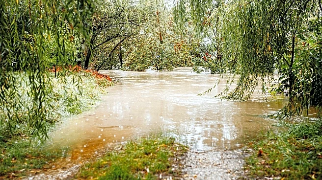
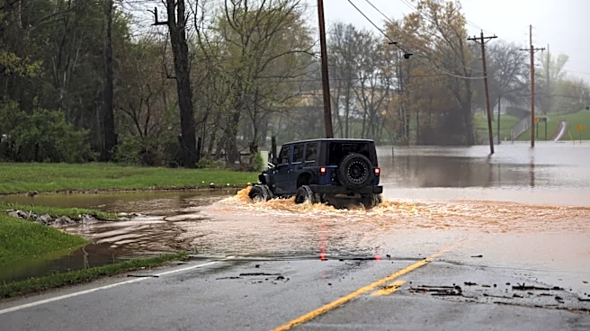
Localized flash flooding possible
Forecasters said thunderstorms may repeatedly move over the same areas — increasing the risk of locally heavy rainfall and flash flooding.
The greatest
threat for localized flooding is expected from Sunday through Sunday night.
Timing of heaviest rain remains uncertain
Meteorologists said the exact timing of the cold front remains uncertain because it will depend on the development of multiple low-pressure systems expected to move northeast along the front.
That uncertainty could affect when the heaviest rain arrives and how long it lasts.
Drier weather expected Monday night
Showers and thunderstorms may linger into Monday before drier weather returns Monday night, according to the National Weather Service.
This article originally appeared on Rochester Democrat and Chronicle: Heavy rain, flash flooding possible across parts of New York on Sunday