






Parts of New York could see their first snowfall of the season this weekend, according to AccuWeather and the National Weather Service.
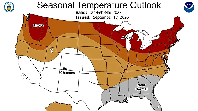
A record-breaking warm-up followed by a sharp cooldown across much of the central and eastern United States is expected to create a "weather whiplash" effect this week.
The temperature swing could bring snow to New York's highest elevations, according to an AccuWeather forecast
.Snow or rain in New York?
A cold front moving across the country is expected to bring colder temperatures to New York this weekend, with lows dipping into the low 20s in parts of the Adirondacks.
High temperatures in Adirondack communities, including Saranac Lake, Tupper Lake and Lake Placid, are expected to reach only the mid-30s Saturday, Oct. 17. Friday and Sunday
highs are forecast to be 10 to 15 degrees warmer, according to the National Weather Service.
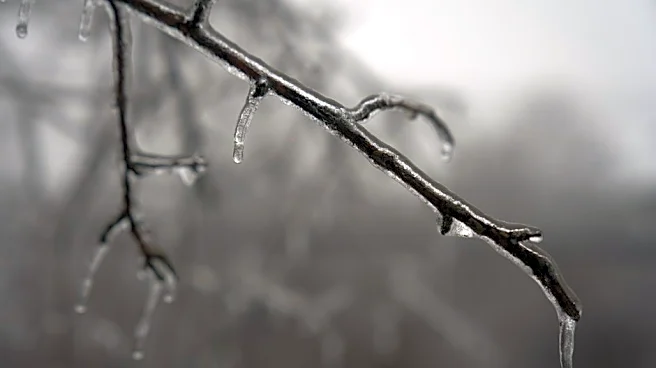
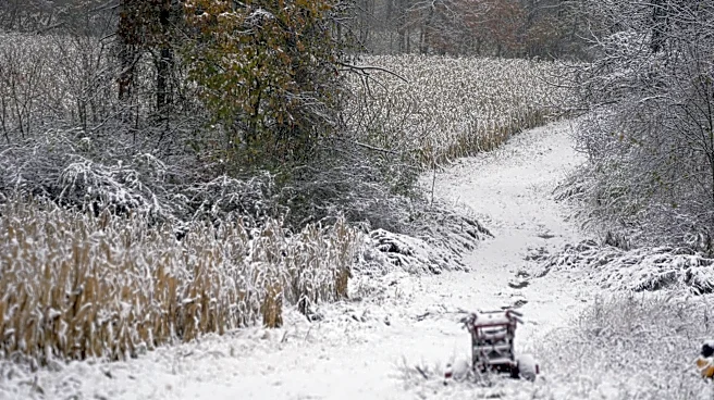
A storm is expected to move across the Great Lakes and into the Northeast, AccuWeather forecasts. While most areas are likely to see rain, some higher elevations in northern New York could see snow this weekend.
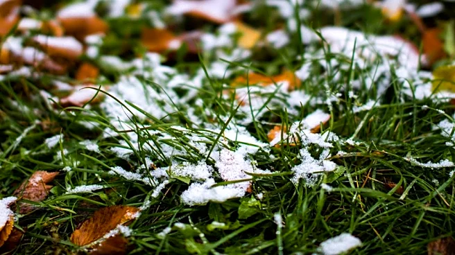
“Any snow that falls won’t amount to much and will only fall at the highest elevations this weekend. Mountain cabins and lakes in New York and northern Vermont could get snowflakes that can coat the grass,” AccuWeather expert meteorologist Peyton Simmers said.
Lake-effect rain is more likely in western New York cities such as Buffalo and Rochester, where weekend lows are forecast to dip only into the mid-30s. Highs in both cities are expected to reach just under 50 degrees Saturday, according to the National Weather Service.
New York City and surrounding counties are also expected to see a sharp temperature drop, with highs falling by roughly 20 degrees from Friday to Saturday. Saturday's high is forecast to be in the 50s, with a low around 42 degrees. Rain is expected Friday, but not Saturday, according to the National Weather Service.
When does New York typically see its first measurable snowfall?
Even if snow doesn't arrive this weekend, the National Weather Service tracks the average dates of the first measurable snowfall in communities across New York.
Those dates include:
- Saranac Lake: Oct. 23
- Binghamton: Nov. 1
- Syracuse: Nov. 5
- Buffalo: Nov. 8
- Rochester: Nov. 8
- Albany: Nov. 16
- Poughkeepsie: Nov. 30
- Central Park in New York City: Dec. 7
- Islip: Dec. 14
This article originally appeared on Rochester Democrat and Chronicle: New York could see its first snowfall of the season this weekend. Here's where