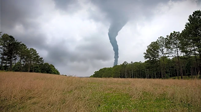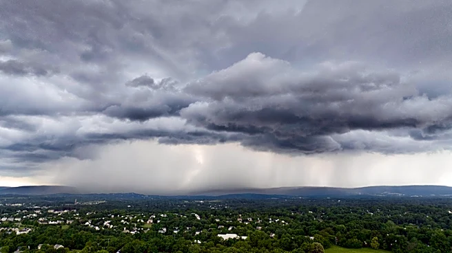





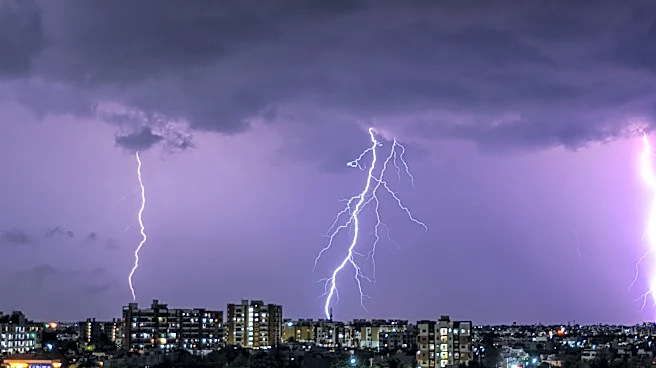
A powerful line of thunderstorms swept across parts of New York on Wednesday evening, bringing tornado warnings, damaging winds, large hail and flash flooding to communities across Western and Central New York.
The National Weather Service issued multiple tornado watches and warnings as thunderstorms moved east and southeast through the region. One warning covering parts of Monroe, Genesee and Orleans counties was prompted by a radar-confirmed tornado signature near Oakfield. Additional tornado warnings were issued for parts of Genesee, Monroe, Livingston, Wyoming and Allegany counties as rotating storms moved across the region.
The storms also caused flooding, scattered damage reports and widespread power outages.
Tornado warnings issued across region
Several tornado warnings were
issued Wednesday evening as storms showed signs of rotation and the potential to produce tornadoes.
A tornado warning for portions of Monroe, Genesee and Orleans counties was issued after weather radar indicated a tornado near Oakfield. Additional tornado-warned storms tracked across parts of Western and Central New York throughout the evening.
As of early Thursday, the National Weather Service had not confirmed whether any tornadoes touched down. Damage surveys were expected to continue in areas that received tornado warnings.
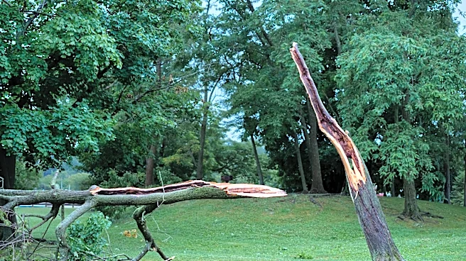
Residents across the region reported storm-related impacts, including downed trees, blocked roads and localized damage.
Damaging winds, hail threaten communities
Several severe thunderstorm warnings warned of wind gusts up to 70 mph and large hail.
The storms affected a broad area stretching across Western and Central New York, including communities around Rochester, Batavia, Canandaigua, Geneva, Seneca Falls and portions of the Finger Lakes region.
The Storm Prediction Center had placed much of the region under a tornado watch Wednesday as forecasters warned that conditions were favorable for severe thunderstorms capable of producing damaging winds, hail, isolated tornadoes and flooding.
Flash flooding reported
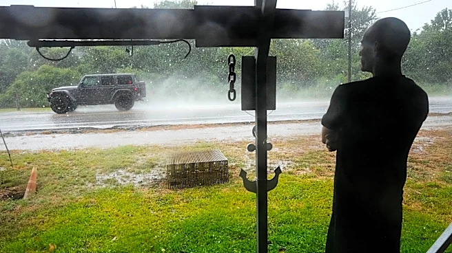
Heavy rainfall caused flooding in several communities, particularly across parts of Western New York.
The National Weather Service issued flash flood and flood warnings as water rose in low-lying and poor-drainage areas.
Flooding was reported in Orleans County, where several inches of rain fell and emergency officials reported road closures in some areas. Flooding also affected other communities as thunderstorms produced periods of heavy rainfall.
Drivers should use caution Thursday morning and never attempt to drive through flooded roadways.
Thousands lose power
The storms knocked out power to thousands of utility customers across Western New York.
Utility outage reports showed significant impacts in Monroe, Orleans, Genesee, Livingston and Wayne counties Wednesday night as strong winds and severe weather moved through the region.
More than 12,000 RG&E customers in Monroe County were without power around midnight, while thousands of additional outages were reported elsewhere across western New York.
What's next Thursday?
The threat of severe thunderstorms diminished overnight as storms moved east and weakened, but flooding and power outages remained concerns Thursday morning.
Residents should check with their utility providers for outage and restoration information and continue monitoring local weather alerts, particularly in areas where flooding is ongoing.
Anyone encountering a flooded road should turn around rather than attempting to drive through it. The National Weather Service warns that floodwaters can be deeper and more dangerous than they appear, especially during nighttime and early morning hours.
This article originally appeared on Rochester Democrat and Chronicle: Severe storms trigger tornado warnings, flooding and power outages across New York