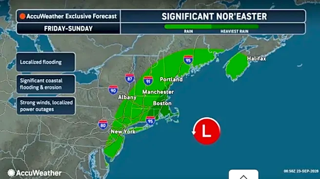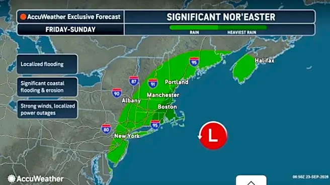

New York Gov. Kathy Hochul declared a state of emergency Friday for eight counties as a coastal storm brings strong winds, heavy rain, dangerous surf and coastal flooding to parts of the state.
The state
of emergency covers the Bronx, Kings, Nassau, New York, Queens, Richmond, Suffolk and Westchester counties. The storm is expected to continue through Sunday, with the worst conditions forecast from Friday night through Sunday morning.
Coastal flooding, dangerous surf expected
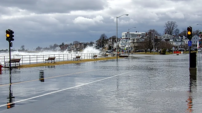
A Coastal Flood Warning is in effect for Long Island, New York City and the lower Mid-Hudson Valley.
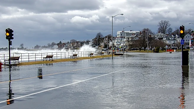
The worst flooding is expected along the south shore of Long Island, parts of lower New York Harbor and coastal areas of the Bronx, Westchester and northern Nassau County along Long Island Sound.
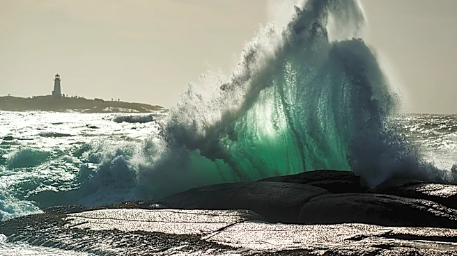
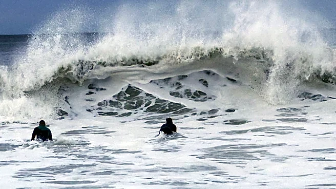
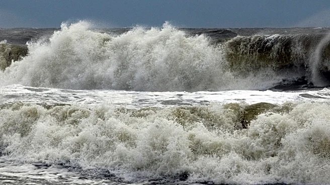
Gale- and storm-force winds also are expected to create dangerous marine conditions, including strong rip currents and high waves. Waves could reach 4 to 7 feet along Long Island Sound, 7 to 15 feet on western Long Island and 15 to 22 feet on eastern Long Island.
New Yorkers are urged to avoid boating, swimming and other water recreation, as well as beaches and rock jetties, because of dangerous surf and life-threatening rip currents.
Strong winds, heavy rain could cause outages
Wind gusts could reach 60 mph, potentially bringing down trees and power lines and causing power outages.
State officials said 5,675 workers are available statewide to assist with storm response, restoration and repairs, including 175 overhead mutual-aid contractors secured by Con Edison. Crews also have been positioned to clear debris from downed trees.
The storm is expected to produce 1.5 to 3 inches of rain across the region, with 3 to 5 inches possible on eastern Long Island. Isolated flash flooding is possible, particularly on eastern Long Island.
The state's Office of Fire Prevention and Control has pre-staged high-axle vehicles and swift-water rescue teams.
What New Yorkers should know
New Yorkers should monitor local forecasts and make sure emergency alerts are enabled on their phones. Residents can sign up for real-time weather and emergency alerts by texting their county or borough name to 333-111.
Officials also advise residents to:
- Avoid flooded roads. Turn around and find another route if you encounter water on a roadway.
- Secure outdoor furniture, trash cans, umbrellas and other loose items that could become dangerous in high winds.
- Charge cellphones and other essential devices and keep flashlights and fresh batteries available.
- Stay away from downed power lines and report them to the appropriate utility.
- Check on vulnerable neighbors, friends and family members if it is safe to do so.
State emergency operations center activated
Hochul has activated the State Emergency Operations Center to enhanced monitoring as agencies prepare for the storm.
The New York State Department of Transportation, State Police, Department of Environmental Conservation, State Parks, Thruway Authority and other agencies have crews and equipment ready to respond to flooding, downed trees, power outages and other storm-related emergencies.
The MTA also is monitoring conditions. Because of high winds, the agency will ban empty tractor-trailers and tandem trucks on its bridges and tunnels from 12:01 a.m. Saturday through 2 a.m. Sunday. Pedestrian walkways on bridges also could close if high winds are forecast.
Motorists should check road conditions before traveling and treat dark traffic signals as all-way stops.
Why this storm is unusual
Nor'easters are most common during the fall and winter months, but major September events are relatively uncommon.
Forecasters continue to stress that even small changes in the storm's track could affect where the heaviest rain, strongest winds and worst coastal flooding occur. New Yorkers are encouraged to monitor the latest forecasts and advisories throughout the weekend.
Contributing: USA Today Network
This article originally appeared on Rochester Democrat and Chronicle: Nor'easter prompts state of emergency in New York. Here's what to know