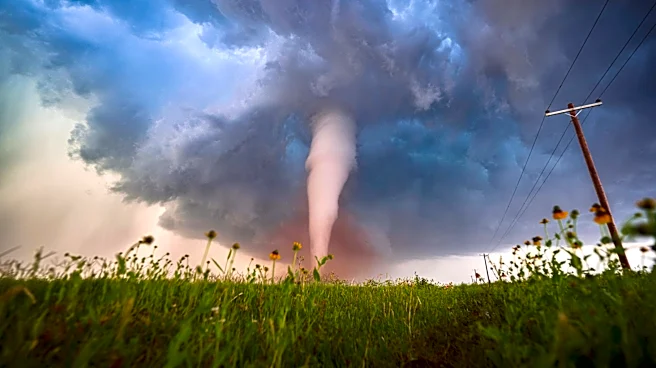





A cold front will move toward New York on Wednesday, bringing the potential for isolated to scattered severe thunderstorms across parts of Western and Central New York.
The National Weather Service Storm Prediction Center
has placed parts of Western New York at risk for severe thunderstorms. The latest forecast calls for a more organized severe weather threat from eastern Ohio into Western New York.Storms possible Wednesday afternoon and evening
The most likely window for thunderstorms is approximately 4 to 11 p.m. Wednesday.
The highest risk is across the Southern Tier and western Finger Lakes, while a marginal risk covers much of the remainder of Western and Central New York.
The National Weather Service says thunderstorms could produce damaging wind gusts, with wind considered the primary
severe weather threat.
Heavy rain, isolated tornado also possible
Some thunderstorms could produce brief, torrential downpours. Storms are expected to move quickly, which should limit the overall flood threat, according to the forecast.
An isolated tornado cannot be ruled out, particularly across the Southern Tier and Finger Lakes, although the setup is less volatile than the severe weather event New York experienced last week.
This article originally appeared on Rochester Democrat and Chronicle: Severe storms possible across NY Wednesday. Here's when and where