

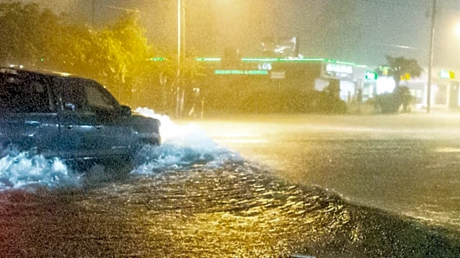
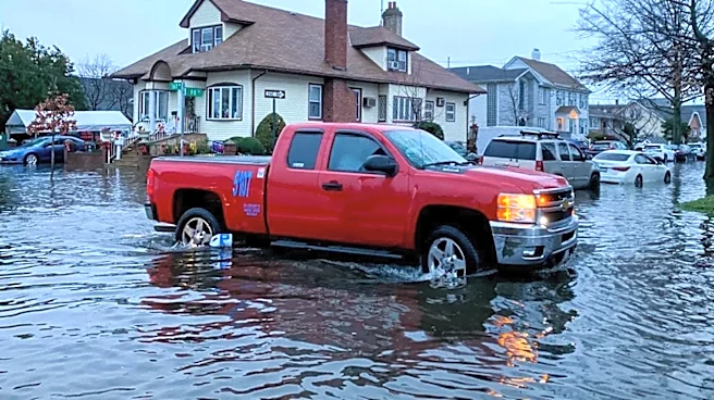
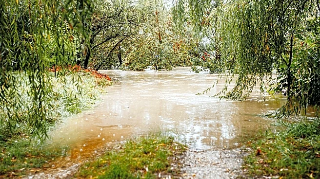
The National Weather Service has issued a Flood Watch for much of western and central New York as heavy rain and thunderstorms could bring flash flooding Sunday into late Sunday night.
The watch is in effect from 10 a.m. Sunday through late Sunday night.
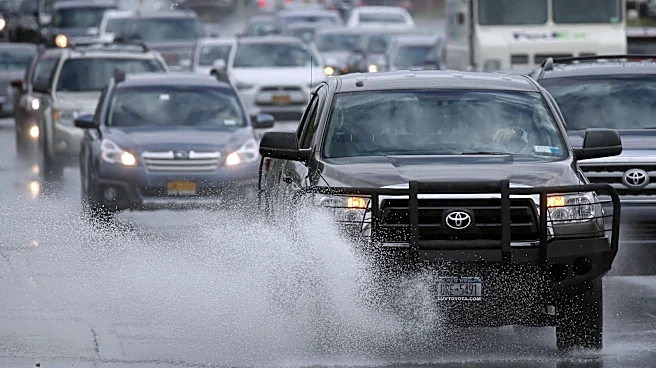
Flash flooding possible
Forecasters said scattered to numerous showers and thunderstorms are expected throughout the day and into the evening.
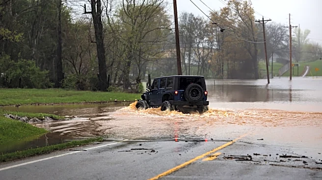
Some storms could produce rainfall rates of 2 inches per hour or more, and repeated rounds of heavy rain over the same areas could trigger flash flooding.
Areas included in the Flood Watch
The watch covers portions of western and central New York, including the counties of:
- Allegany
- Cattaraugus
- Chautauqua
- Genesee
- Jefferson
- Lewis
- Livingston
- Monroe
- Niagara
- Northern Cayuga
- Northern Erie
- Ontario
- Orleans
- Oswego
- Southern Erie
- Wayne
- Wyoming
Major cities included in the watch include Buffalo, Rochester, Canandaigua, Niagara Falls, Batavia, Geneseo, Jamestown, Medina, Newark, Olean,
Oswego, Springville, Warsaw, Watertown and Wellsville.
What to expect
The National Weather Service said excessive rainfall could lead to:
- Flash flooding in low-lying and flood-prone areas.
- Flooding of rivers, creeks and streams.
- Flooding in urban areas and locations with poor drainage.
This article originally appeared on Rochester Democrat and Chronicle: Flood Watch issued for much of upstate NY as heavy rain threatens