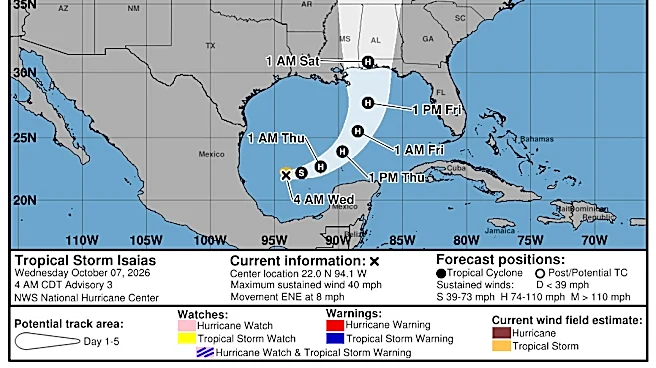

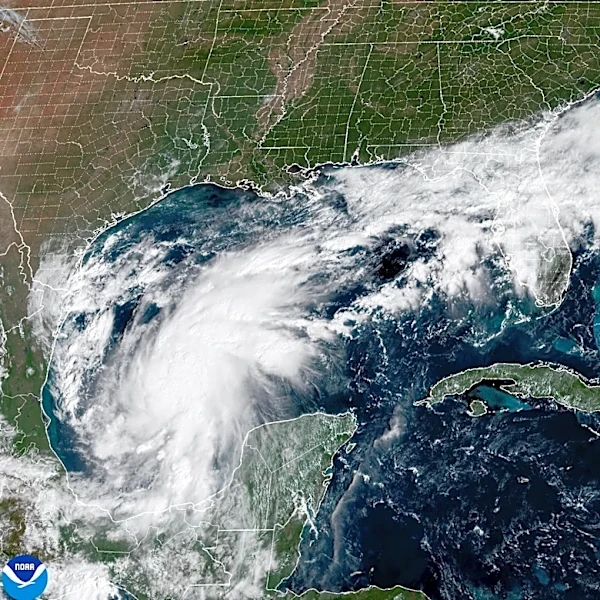



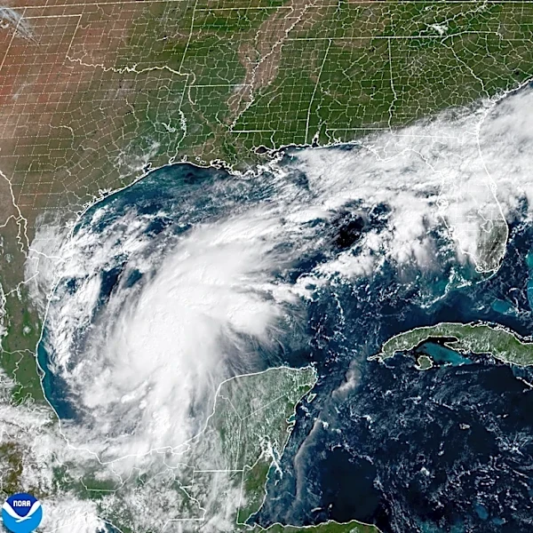



Tropical Storm Isaias has formed in the Gulf of Mexico and is expected to strengthen into a hurricane before reaching the Gulf Coast this weekend, according to the National Hurricane Center.
But what could the storm mean for New York?
Here's what to know about the forecast and potential impacts.
Isaias forecast
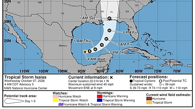
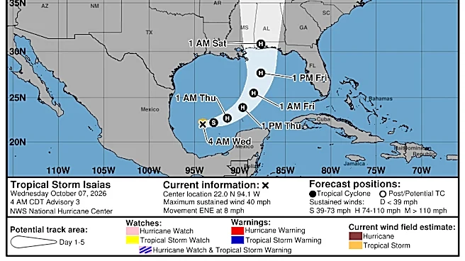
Isaias was about 580 miles southwest of the mouth of the Mississippi River early Wednesday and was moving east-northeast at 8 mph, according to the National Hurricane Center. The storm had maximum sustained winds of 40 mph.
Forecasters expect Isaias to strengthen rapidly over the next couple of days. The National Hurricane Center's forecast calls for the storm to become a hurricane Thursday and continue strengthening as it moves across the Gulf of Mexico.
The current forecast has Isaias moving inland near the Gulf Coast Saturday. The storm is then expected to weaken as it moves farther inland.
Hurricane Isaias expected

Isaias is the ninth named storm of the 2026 Atlantic hurricane season.
The National Hurricane Center expects the storm to become a hurricane Thursday. The forecast could change as Isaias moves closer to the coast, and there are no coastal watches or warnings in effect at this time.
The hurricane center is urging people along the northern Gulf Coast to closely monitor the storm.
How could Isaias impact New York?

It is too early to know exactly how much, if any, impact Isaias will have on New York.
The storm is expected to weaken as it moves inland, but its remnants could eventually move north and bring rain and gusty winds to parts of the Northeast.
Forecasts for Sunday and Monday show chances for showers across much of New York, but it is not yet clear how much of that rainfall would be associated with Isaias.
Forecasters also stressed that the track and strength of the storm could change as the system develops.
As of Oct. 7, here's the National Weather Service forecast for Sunday, Oct. 11, and Monday, Oct. 12:
- Albany: Sunday, chance of showers, high near 69; Monday, chance of showers, cloudy, high near 67.
- Binghamton: Sunday, chance of showers, high near 68; Monday, chance of showers, cloudy, high near 66.
- Buffalo: Sunday, chance of showers, high near 72; Monday, chance of showers, partly sunny, high near 68.
- New York City: Sunday, chance of showers, high near 70; Monday, showers likely, high near 70.
- Poughkeepsie: Sunday, chance of showers, high near 71; Monday, chance of showers, cloudy, high near 71.
- Rochester: Sunday, chance of showers, high near 73; Monday, chance of showers, partly sunny, high near 68.
- Syracuse: Sunday, chance of showers, high near 73; Monday, chance of showers, cloudy, high near 69.
- Utica: Sunday, showers likely, high near 71; Monday, chance of showers, cloudy, high near 69.
- Watertown: Sunday, mostly sunny, high near 70; Monday, chance of showers, partly sunny, high near 65.
- White Plains: Sunday, chance of showers, high near 70; Monday, showers, high near 70.
Rain and wind impacts
The greatest impacts from Isaias are expected closer to the Gulf Coast, where the storm could bring heavy rain, strong winds and flooding.
As the system moves inland, heavy rain could spread into parts of the Ohio Valley and eventually the Northeast. However, the amount and location of rainfall farther north will depend on the storm's eventual track and how quickly it weakens.
New York residents should continue monitoring the forecast as Isaias moves across the country.
See the spaghetti models
Spaghetti models show multiple possible paths for a tropical system. They are useful for seeing the range of potential tracks, but they do not all have the same level of accuracy.
The National Hurricane Center considers multiple forecast models when determining the expected track and intensity of a storm. Because Isaias is still developing, its forecast path is likely to change.
Contributing: USA Today Network
This article originally appeared on Rochester Democrat and Chronicle: Tropical Storm Isaias could impact New York. Here's the latest forecast