


Western New York and the Finger Lakes could see multiple rounds of showers and thunderstorms through Wednesday night, with the National Weather Service in Buffalo warning that the greatest risk for severe weather is expected Wednesday afternoon and evening.
A frontal zone lingering across the Great Lakes will keep the weather pattern unsettled, bringing periods of rain and thunderstorms along with warm, increasingly humid conditions through midweek, according to the latest National Weather Service forecast discussion.
Storm chances continue Tuesday
A few isolated thunderstorms are possible Tuesday afternoon and evening, but widespread severe weather is not expected. Any storms that develop could produce isolated strong wind gusts, according to the National Weather Service hazardous
weather outlook.
Much of Western New York may remain dry Tuesday afternoon. Isolated showers or thunderstorms could develop along a lake-breeze boundary from the Niagara Frontier through the Genesee Valley and western Finger Lakes. Scattered activity is also possible across parts of Central New York and the North Country.
Greatest severe weather risk arrives Wednesday
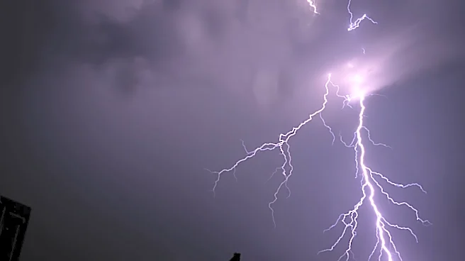
Clusters of showers and thunderstorms are expected to develop later Wednesday afternoon and continue into Wednesday night.
The National Weather Service said some storms could become severe, with the greatest concern from late Wednesday afternoon through the first half of Wednesday night.
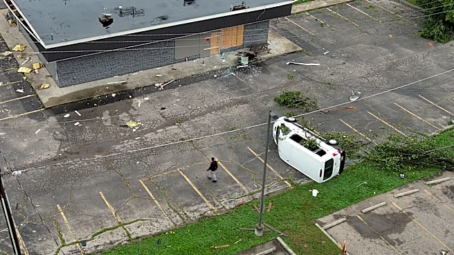
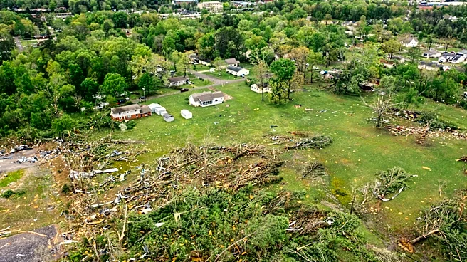
Localized damaging wind gusts are the primary severe-weather threat. Isolated large hail is also possible, and an isolated tornado cannot be ruled out.
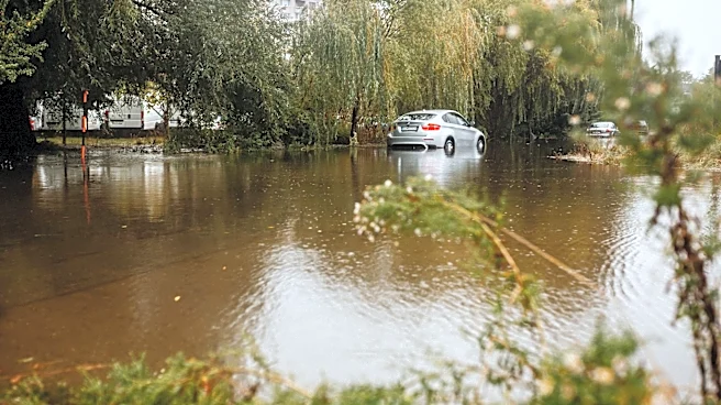
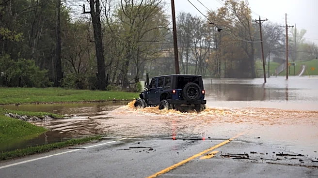
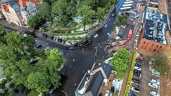
Thunderstorms could also produce torrential downpours. Localized flash flooding is possible, particularly if storms repeatedly move over the same areas.
Hot, humid conditions expected
Warm and very humid conditions are expected through Wednesday. Heat index values could reach the lower 90s Wednesday in parts of Western and Central New York.
What to know
Residents across Western New York and the Finger Lakes should monitor updated forecasts and be prepared for rapidly changing conditions, especially Wednesday afternoon and evening, when the risk for severe storms and localized flash flooding is highest.
- Damaging wind gusts are the primary severe-weather threat Wednesday.
- Isolated large hail and an isolated tornado are also possible.
- Torrential rainfall could cause localized flash flooding.
- Heat index values could reach the lower 90s Wednesday in parts of Western and Central New York.
Check the latest Buffalo-area watches, warnings and advisories before traveling or spending time outdoors.
This article originally appeared on Rochester Democrat and Chronicle: Severe weather could bring damaging winds, isolated tornado to parts of NY