





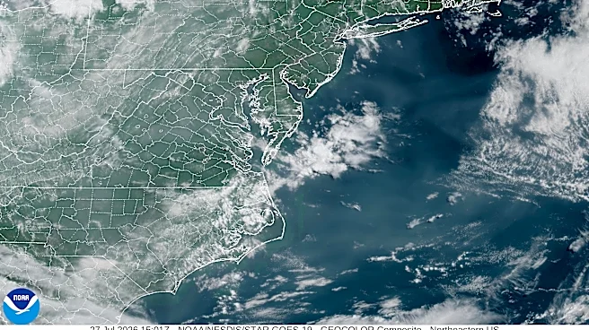
Georgianscould see rounds of thunderstormsthis weekend as a developing weather systembrings the potential for strong storms across parts of the South.
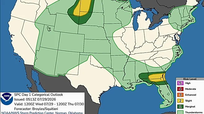
While meteorologists are not expecting a widespread major severe weather event, forecasters are monitoring the system for the potential of damaging winds, heavy rain and isolated stronger storms.
The exact impacts for Georgia are still coming into focus as the system develops, but much of the state has a chance for showers and thunderstorms beginning Saturday and continuing into early next week.
Here's what to know.
Order your severe weather essentials on Amazon
What severe weather threats are possible?
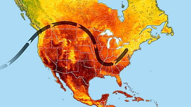
A developing low-pressure system moving through the Mid and Deep South could bring severe weather to parts of the region Saturday.
The main
threat expected with this system is strong, damaging wind gusts, especially where stronger thunderstorms develop.
Some hail is also possible, mainly farther west closer to the system's influence. Forecasters are also watching the potential for a tornado threat near the low-pressure center in parts of Tennessee and Kentucky, though that risk remains uncertain.
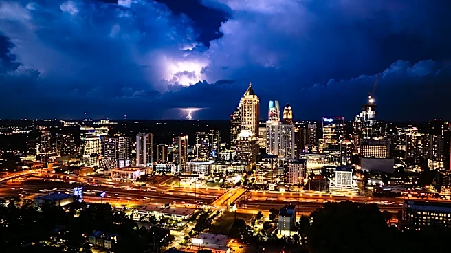
For Georgia, the main concerns are thunderstorms, heavy rainfall, lightning and gusty winds.
What is the Georgia forecast?
According to the National Weather Service, areas in North Georgia could see multiple rounds of showers and thunderstorms through the weekend.
Athens:
- Saturday: Showers and thunderstorms likely after 2 p.m.; high near 93 degrees with a 60% chance of rain
- Sunday: Showers and thunderstorms likely; high near 85
- Monday: Storm chances continue; high near 86
- Tuesday: Chance of showers and thunderstorms; high near 87
- Wednesday: Slight storm chance; high near 89
Blue Ridge:
- Saturday: Showers and thunderstorms likely; high near 83 degrees with a 70% chance of rain
- Sunday: Showers and storms likely; high near 81
- Monday: Storm chances continue; high near 83
- Tuesday: Showers and thunderstorms likely; high near 84
- Wednesday: Storm chances remain; high near 85
Central Georgia could see some of the warmer temperatures Saturday before storms become more widespread.
Macon:
- Saturday: Showers and thunderstorms likely; high near 94 degrees with a 70% chance of rain
- Sunday: Showers and possible thunderstorms; high near 88
- Monday: Storm chances continue; high near 89
- Tuesday: Chance of thunderstorms; high near 90
- Wednesday: Slight chance of storms; high near 91
Parts of eastern and coastal Georgia will remain hot while tracking daily storm chances.
Augusta:
- Saturday: Chance of afternoon storms; high near 97
- Sunday: Showers and thunderstorms likely; high near 92
- Monday: Storms possible; high near 91
- Tuesday: Chance of thunderstorms; high near 93
- Wednesday: Chance of storms; high near 94
Savannah:
- Saturday: Chance of afternoon thunderstorms; high near 92
- Sunday: Showers and thunderstorms likely; high near 91
- Monday: Storm chances continue; high near 90
- Tuesday: Chance of storms; high near 92
- Wednesday: Chance of thunderstorms; high near 93
How can Georgians stay weather aware?
With thunderstorms possible across much of the state, weather experts recommend residents:
- Monitor forecasts as conditions change
- Enable weather alerts on phones
- Avoid outdoor activities during thunderstorms
- Seek shelter indoors if lightning or strong winds move into the area
Forecasters say this is still a developing situation, and the severity of storms will depend on how the system evolves over the coming days.
Georgia radar
Vanessa Johns is the Trending Topics Reporter for the Deep South Connect Team Georgia, covering food and entertainment. Email her at Vcountryman@gannett.com.
This article originally appeared on Augusta Chronicle: Another round of storms? What Georgia needs to know this weekend