




If you were hoping for less rain, and cooler days, the National Weather Service has bad news for you.
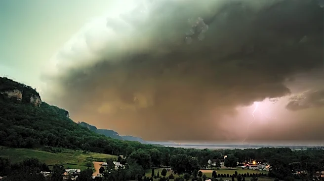
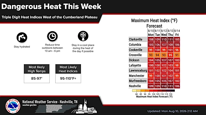
Brief but heavy downpours will continue this week as the heat index climbs to dangerous levels.
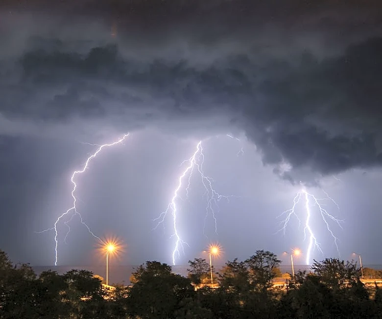
There is a low to mediums chance of showers and storms each afternoon and early evening, the weather service said.
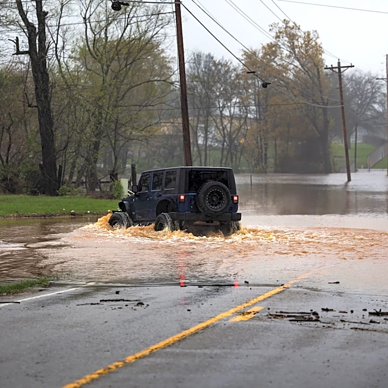
"Heavy downpours with local flash flooding will be the main concern," the weather service said. "Gusty winds can't be ruled out, but the threat of severe winds is very low."

The bigger issue will become the heat, the weather service said.
"Today will be hot, muggy and mostly dry," meteorologist Olivia Cahill said Aug. 10. "Heat indices will reach triple digits in several areas west of the Plateau with even muggier conditions expected tomorrow."
A couple areas across Middle Tennessee might reach a heat index of 105 Aug. 10, but those feels-like triple digit temperatures will be more widespread Aug. 11 and Aug. 12. That could put the region under a major heat advisory.
Nashville weather radar
Nashville weather forecast
Aug. 10: Sunny with a high near 96 and heat index as high at 107 with overnight lows around 75.
Aug. 11: Sunny and hot with a high near 97 and an index as high as 107. A 10% chance of of showers and thunderstorms before 7 p.m. with overnight lows around 76.
Aug. 12: A chance of showers and thunderstorms possible after 10 a.m. otherwise mostly sunny, with a high near 96 and overnight lows around 76.
Aug. 13: Mostly sunny and hot with a high near 98 and overnight lows around 76.
Aug. 14: A 20% chance of showers and thunderstorms after 1 p.m. otherwise mostly sunny and hot with a high near 97 and overnight lows around 75.
Aug. 15: A 20% chance of showers and thunderstorms otherwise mostly sunny and hot with a high near 98. Overnight lows around 76.
Aug. 16: Sunny and hot, with a high near 98 and overnight lows around 74.
This article originally appeared on Nashville Tennessean: Expect daily rain chances, dangerous heat in Nashville weather this week