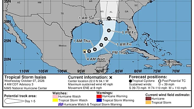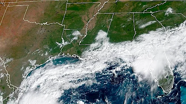



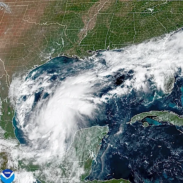



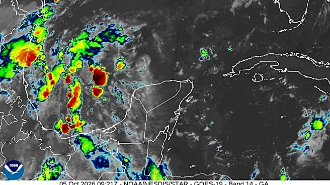
Tropical Storm Isaias formed in the Gulf early Oct. 7, according to the National Hurricane Center, becoming the ninth named storm of the 2026 Atlantic hurricane season.
Unlike the previous eight named storms this year, Isaias is forecast to strengthen into a hurricane as it moves toward the Gulf Coast.
Forecasters say the system could intensify into a Category 1 hurricane by Oct. 8, before strengthening further into a Category 2 hurricane with sustained winds of up to 110 mph by Oct. 9.

High rain chances and gusty winds are anticipated across Middle Tennessee this weekend as the remnants of what is expected to become Hurricane Isaias move into Tennessee, the National Weather Service office in Nashville reported.
Are you storm-ready? Shop Amazon
for storm essentials
Here's what else to know.
How Tropical Storm Isaias is expected to impact Nashville and Middle Tennessee
According to the weather service, most of Middle Tennessee is forecast to receive 1 to 2 inches of rain, with some areas seeing more than 3 inches. The heaviest rainfall is expected from the evening of Oct. 10 through the morning of Oct. 11.
Wind gusts could exceed 30 mph at times.
"Thus, at this time, we don't expect significant impacts to Middle Tennessee - just beneficial rainfall and perhaps some breezy winds," wrote the weather service in its morning discussion on Oct. 7. "Nonetheless, we'll monitor forecast changes over the next couple of days closely."
"We should transition back to drier, warmer weather early next week after this system departs to the northeast."
Will Isaias alleviate drought conditions in Middle Tennessee?
The remnants of Isaias could provide some much-needed rain across Middle Tennessee this weekend, though it is unclear how much the rainfall will ease the region's drought.
According to theU.S. Drought Monitor, all of Middle Tennessee is currently experiencing moderate drought conditions, while some areas, including Davidson County, are classified as being in severe drought.
"Right now it's looking like we will get a good soaking rain Saturday into Sunday from the remnants of what will be Hurricane Isaias," wrote the weather service in an email to The Tennessean Oct. 7.
Middle Tennessee is expected to receive between 1 and 3 inches of rain this weekend, though the region remains behind on rainfall for the year. In Nashville, precipitation totals are more than 10 inches below normal for 2026, added the weather service.
Hurricane tracker: Where is Tropical Storm Isaias now? Follow the storm's path
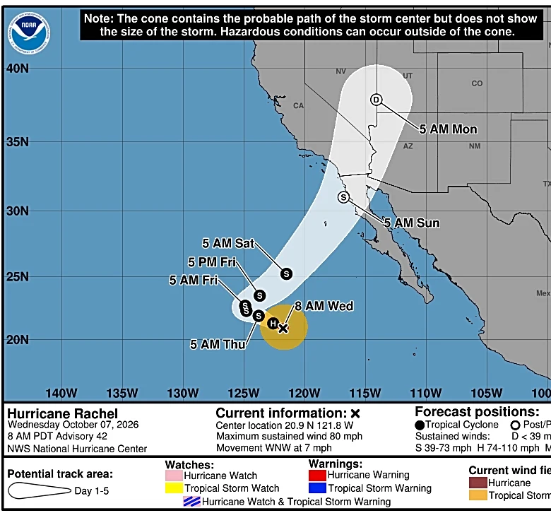
This forecast track shows the most likely path of the center of the storm. It does not illustrate the full width of the storm or its impacts, and the center of the storm is likely to travel outside the cone up to 33% of the time.
Tropical storm Isaias spaghetti models
The illustration includes an array of forecast tools and models, and not all are created equal. The hurricane center uses only the top four or five highest-performing models to help make its forecasts, and not all of them are publicly available.
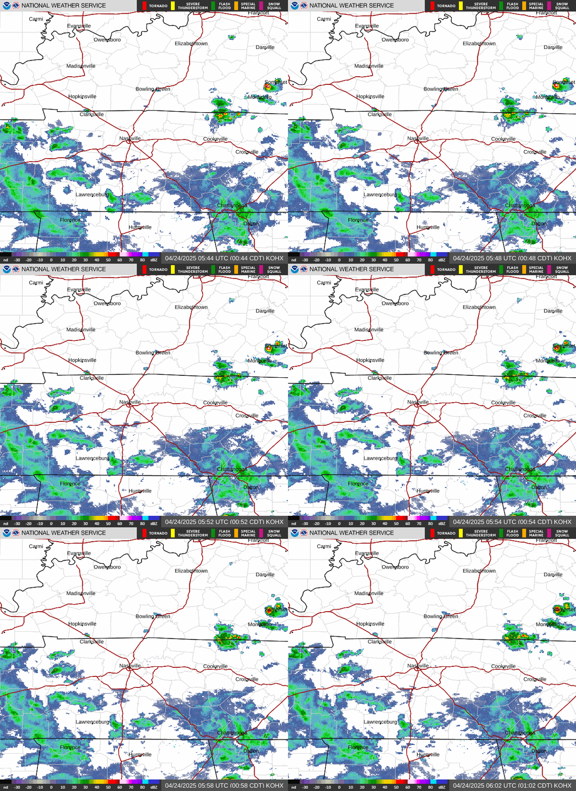
Nashville Weather radar
Contributing: USA TODAY
Diana Leyva covers trending news and service journalism for The Tennessean. Contact her at Dleyva@gannett.com.
This article originally appeared on Nashville Tennessean: Tropical Storm Isaias on path to become hurricane, impact Middle Tennessee. See forecast track
Our editors independently choose our recommendations. Some content is produced with paid support from a third party, however our editorial decisions remain independent. If you buy through our links, the USA TODAY Network may earn a commission. Prices and availability may change.