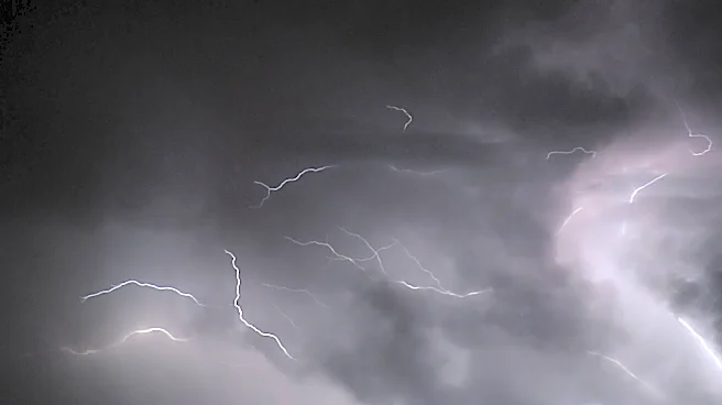

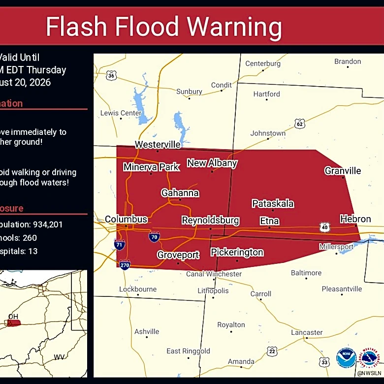




After early morning storms triggered flash flood warnings and severe thunderstorm watches, Nashville and Middle Tennessee could get a second round during the day.
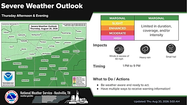
"We are expecting storms to redevelop later this afternoon and evening, more or less in the vicinity of the current surface boundary," National Weather Service meteorologist Mark Rose said. "Once again, there is a damaging wind threat and also the potential for heavy rainfall, and perhaps even some small hail."

There will be a break in the rain, but storms are expected to redevelop in the warm, humid airmass in the afternoon and evening hours Aug. 20. The main threat will be to areas south of Interstate 40 and along the Cumberland Plateau.
Rain could hit the region anytime between 1 p.m.
and 9 p.m.
All this rain will do us some good. With slightly less humid air, the forecast shows temperatures with "remarkable consistency for the next 10 days," Rose said.
"Everything is within a couple of degrees of seasonal norms," Rose said. "So we certainly don't expect any heat-related hazards anytime in the foreseeable future."
Nashville weather radar
This article originally appeared on Nashville Tennessean: Wet weather to continue in Nashville, Middle Tennessee