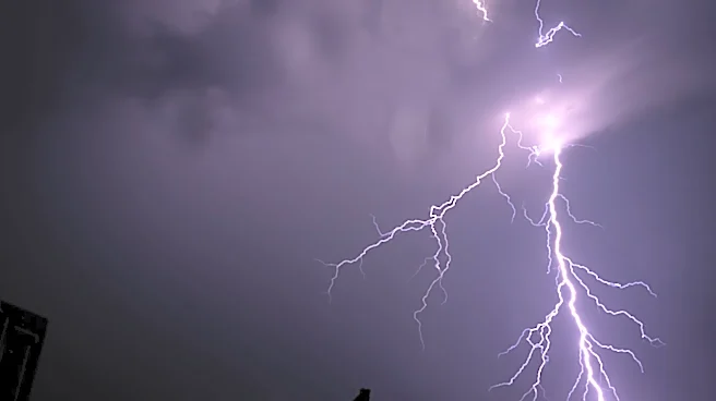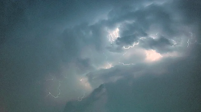








A line of severe thunderstorms July 27 is expected to bring strong winds, possibly hail, and localized heavy rain across central Ohio and much of the state, according to the National Weather Service in Wilmington.
AEP said the storm could even turn into a derecho,such as the storm that ravaged much of Ohio in 2012.
The hazardous weather outlook issued by the weather service includes all central Ohio counties and several other counties throughout the state. The weather service says that damaging winds are the "primary threat." Hail and localized, heavy rain is also possible, according to the weather service.
AEP issued a warning on the afternoon of July 27 saying that the damaging wind gusts of up to 75 mph may affect the northern and central parts
of its service areas, before the storm weakens and continues south across Ohio.
"Trees and branches falling from outside our right-of-way into our power lines and equipment are a primary cause of outages during storms," AEP said. "We proactively trim and remove vegetation around our power lines and equipment to reduce the likelihood of a tree or branch causing an outage, especially during severe weather."
AEP also warned of a "derecho" – a widespread storm with strong, straight-line winds that can cause "significant damage" as well as power outages.
Derechos are a rare type of thunderstorm that is often accompanied by hot and humid weather, according to the weather service. They can cause damage comparable to a tornado; the damage is usually kept to one direction along a relatively straight path. Generally speaking, if the wind damage path extends more than 240 miles and includes wind gusts of at least 58 mph, then it is classified as a derecho.
Reporter Shahid Meighan can be reached at smeighan@dispatch.com, at ShahidMeighan on X, and at shahidthereporter.dispatch.com on Bluesky.
This article originally appeared on The Columbus Dispatch: Derecho, hail, heavy thunderstorms possible in central Ohio on July 27