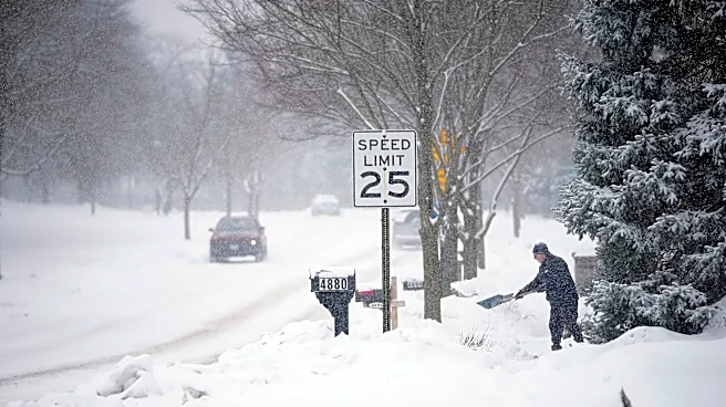








After some noticeably cool weather this week, central Ohioans may already be thinking about winter. The polar vortex is strengthening over the Arctic, but does that mean a colder or snowier season in Columbus?
Short answer: it’s too early to tell. A strong polar vortex generally helps keep the coldest air near the North Pole. If it weakens later this winter, Arctic air could have a better chance of reaching Ohio, bringing periods of bitter cold. Whether Columbus gets significant snow would also depend on the timing and path of storms.
The vortex is somewhat stronger than average now, according to USA TODAY. Long-range guidance suggests it could weaken in January or February, but it is too early to know whether that will happen. A developing El
Niño could also influence winter weather.
What is the Columbus forecast this week?
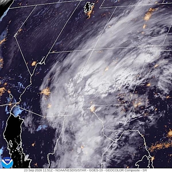
The National Weather Service expects a high near 66 degrees Sept. 23, with a 40% chance of showers and thunderstorms. Locally heavy rain this afternoon and evening could cause isolated flooding, according to the NWS's hazardous weather outlook.
Clouds should clear Sept. 24, with a high near 70 degrees and a low around 46 degrees at night. Sept. 25 through Sept. 27 look mostly sunny, with highs in the low 70s. Temperatures are forecast to reach about 79 degrees by Sept. 29.
Trending reporter Amani Bayo can be reached at abayo@dispatch.com.
This article originally appeared on The Columbus Dispatch: Polar vortex is strengthening. What could it mean for Columbus winter?