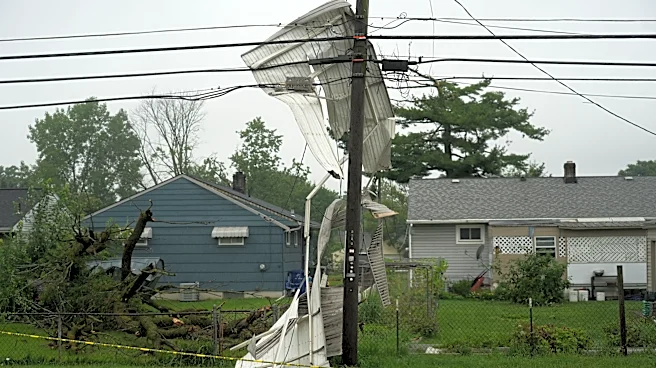




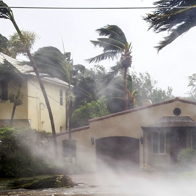




Flood warnings were still in effect and water rescues were underway in parts of central Ohio on Sunday, Aug. 16, following thunderstorms overnight that brought 3-5 inches of rain to some areas and a tornado warning to parts of Franklin and Fairfield counties.
And there is a threat of more thunderstorms with heavy rain on Sunday, Aug. 16.
Allen Randall, a forecaster with the National Weather Service in Wilmington, said that the tornado warning that triggered sirens for southern and eastern Franklin County and parts of Licking and Fairfield counties was part of a storm front that first resulted in a few “transient” tornadoes that briefly touched down in the Urbana area in western Champaign County, north of Dayton.
“It was a weak storm as far as storms
go, but even weak storms can rotate and cause what I would call a very weak tornado,” Randall said.
That storm eventually moved westward into the southern part of Columbus and Franklin County, where it started to show evidence of rotating again, and that prompted the tornado warning issued for at 10:43 p.m. Aug. 15, Randall said.
In the path of the potential tornado rotation were Columbus' South Side and Far South Side along State Route 104 and U.S. 33 with Bexley, Reynoldsburg, Canal Winchester, Groveport, Whitehall, Obetz, Lithopolis, Brice, and Blacklick Estates in Franklin County warned to be in the path.
As of just before 9 a.m. Aug. 16, however, the NWS had not received any reports of tornado damage in Franklin County.
As the storm front continued moving east at 20 mph, the tornado warning was extended into northern Fairfield County at 11:19 p.m. with locations potentially impacted including Pickerington, Canal Winchester, Lithopolis, and Carroll. Fairfield County Emergency Management and Homeland Security could not immediately be reached to determine if there was any wind or potential tornado damage there, though the county was dealing with flooding issues Sunday morning, Aug. 16.
Where are flood warnings still in effect?
The NWS has flood warnings still in effect the morning of Aug. 16 until this evening near Buckeye Lake, where the South Fork Licking River could extend onto the 129A exit ramp and affect Buckeye Lake Estates.
A flood warning is also in effect until 11 a.m. in east central Fairfield County, as well as until 4:15 p.m. in Perry County and northwestern Morgan County. More than 50 water rescues were reported overnight in New Lexington, and Clarksville, Corning and Crooksville were also reporting flooding.
“Numerous roads remain closed due to flooding from New Lexington to Crooksville,” the National Weather Service in Charleston, W.Va. said in a bulletin about Perry County, which was already hit hard by storms earlier this week. Up to half an inch of rain could continue falling Aug. 16.
How many people are without power?
Unlike storms earlier in the week that caused power outages to more than 110,000 AEP Ohio customers, a majority of them in Franklin County, the utility's outage map as of 9 a.m. Sunday, Aug. 16, showed less than 500 customers without power in Franklin County.
A few hundred people were also without power in Licking County.
However, nearly 3,000 people remained without power in Perry County, with an estimated power restoration by 11:30 Aug. 16, according to AEP.
This is a developing story and will be updated.
Anna Lynn Winfrey covers regional/suburban trending news for The Columbus Dispatch. She can be reached at awinfrey@dispatch.com.
This article originally appeared on The Columbus Dispatch: Flood warnings remain in effect in parts of central Ohio