








If it feels like the rain just won't stop in Ohio this month, you're not imagining it.
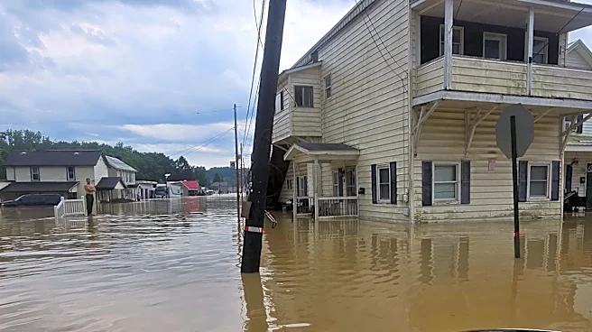
Repeated rounds of showers and thunderstorms have soaked much of the state throughout August, pushing rainfall totals well above normal in many cities, prompting flood concerns and helping make this one of Columbus' wettest starts to August on record.
The culprit is an unusual weather pattern that's been parked over much of the country, according to the National Weather Service.
"We've had a ridge of high pressure across the U.S.," National Weather Service meteorologist Nate McGinnis said. "High pressures spiral clockwise and it's constantly feeding moisture into the Midwest."
The result
has been a steady supply of warm, humid air fueling repeated rounds of rain and thunderstorms instead of the isolated summertime storms Ohio typically experiences.
"This is definitely an unusual pattern," McGinnis said. "Typically this time of year we're dealing with thunderstorms that just come up and come down. It's more or less kind of spotty."
While August is normally one of Ohio's more humid months, McGinnis said the persistent weather pattern has made this stretch different.
"We're used to this humidity this time of year, but typically we don't see this weather pattern," he said.
The same atmospheric setup has also contributed to an active stretch of severe weather.
"I think this is the most tornado warnings we've issued in the month of August since the 1990s," McGinnis said.
Even with the recent downpours, McGinnis said rainfall has been uneven across the state, with some communities receiving significantly more rain than others.
"It's not your typical late-summer heavy downpour," he said. "Even though we've had lots of rain, it needs to hit the right part to be historical."
How much rain has Ohio received this month?
Rainfall has exceeded normal levels in cities across Ohio through the first 16 days of August, according to National Weather Service data.
- Columbus: 5.37 inches (normal: 1.90 inches)
- Dayton: 7.85 inches (normal: 1.52 inches)
- Toledo: 4.49 inches (normal: 1.67 inches)
- Cleveland: 3.82 inches (normal: 1.85 inches)
- Cincinnati: 3.29 inches (normal: 1.86 inches)
- Akron: 3.15 inches (normal: 1.92 inches)
In Columbus, the rainfall has been especially noteworthy.
Through the first 16 days of August, the city has recorded its fourth-wettest start to August since recordkeeping began in 1878, McGinnis said.
For the month as a whole, Columbus has received 5.37 inches of rain so far. The city's August rainfall record stands at 11.46 inches, set in 2003.
While Dayton and Cincinnati have also experienced unusually wet conditions, neither city is approaching record territory, McGinnis said.
Will the rainy pattern continue?
The wet pattern isn't over yet.
"We anticipate more rain for the remainder of August," McGinnis said.
Forecasters also say it's too early to determine whether the emerging El Niño pattern is playing a role in Ohio's unusually wet August.
"Its influence takes hold later in the fall," McGinnis said, making it difficult to directly connect this month's rainfall to the climate pattern.
For now, Ohioans should expect additional chances for showers and thunderstorms as the unusual weather pattern continues to funnel moisture into the region.
Trending reporter Amani Bayo can be reached at abayo@dispatch.com.
This article originally appeared on The Columbus Dispatch: Ohio's August rainfall far exceeds normal as unusual pattern lingers