





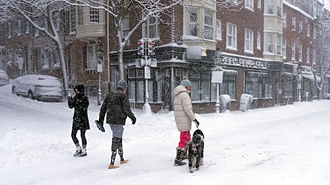

As Ohioans begin searching for clues about what winter could bring, a new long-range forecast suggests the Buckeye State could be headed for a warmer season with less snowfall than usual.
The outlook, released by weather forecasting service OpenSnow
, favors above-average temperatures across much of the northern United States, including Ohio, while projecting below-normal snowfall across the Upper Midwest and Great Lakes region.The National Oceanic and Atmospheric Administration has not yet released its official outlook for the 2026-27 winter season. The agency is instead continuing to monitor what forecasters say could become one of the strongest El Niño events on record.
Why does the new forecast call for less snow in Ohio?
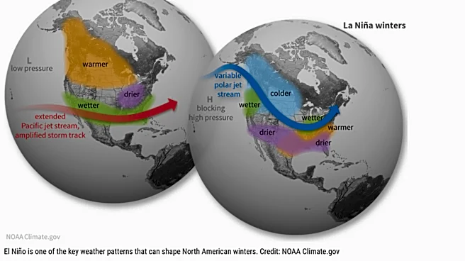
OpenSnow's outlook is based largely on an expected "super El Niño," a climate
pattern marked by unusually warm sea surface temperatures in the equatorial Pacific Ocean that can influence weather patterns around the globe. Forecasters compared this year's developing conditions with previous strong El Niño winters while also considering seasonal weather models and other atmospheric signals.
For the Great Lakes region, the forecast favors:
- Below-normal snowfall
- Above-normal temperatures
- Near-average precipitation overall
According to the forecast, warmer temperatures − rather than an unusually dry winter− are expected to be the primary reason snowfall could end up below average. Strong El Niño winters often keep Arctic air bottled up farther north, reducing the number of prolonged cold periods needed to support frequent snow events.
Even so, forecasters caution that seasonal outlooks carry significant uncertainty months in advance and should not be interpreted as predictions of individual storms.
Has NOAA released its 2026-27 winter forecast?
Not yet.
While NOAA has continued forecasting that El Niño will likely persist through the winter and has increased confidence that it could become a very strong event, the agency's official seasonal outlook for temperatures and precipitation later this winter has not yet been released.
NOAA's Climate Prediction Center says El Niño is expected to continue strengthening through the end of the year, with a greater than 90% chance of a very strong event during the Northern Hemisphere fall and winter of 2026-27. Forecasters also say there is a 69% chance the event could become historic, exceeding the strength of every El Niño observed since recordkeeping began in 1950.
Does a warmer winter mean Ohio won't get snow?
Not necessarily.
Seasonal outlooks describe how an entire winter is expected to compare with historical averages, not whether individual snowstorms will occur.
A winter can still produce significant snowstorms while finishing with above-average temperatures overall. One or two major winter storms can also quickly boost seasonal snowfall totals even during a generally mild season.
For now, forecasters say the strongest signal is for a warmer-than-average winter across much of the country, though exactly how much snow Ohio ultimately sees will depend on the track and timing of individual storm systems in the months ahead.
Trending reporter Amani Bayo can be reached at abayo@dispatch.com.
This article originally appeared on The Columbus Dispatch: Will Ohio see a warmer winter with less snow? What 2026 forecast says