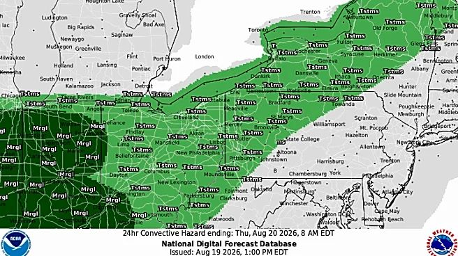





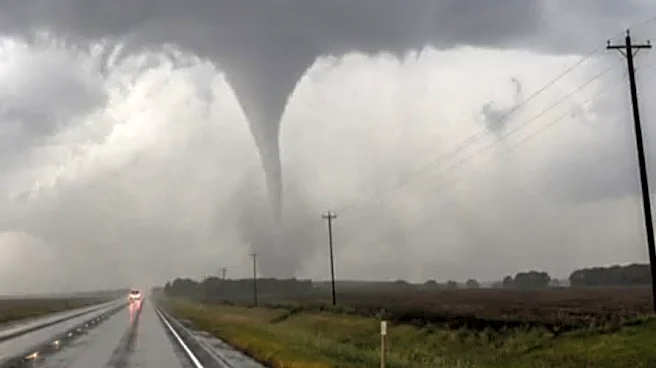
Another round of severe thunderstorms is expected to hit central Ohio Aug. 22 between 2 p.m. and 10 p.m., bringing threats of damaging winds and hail, according to the National Weather Service.
The new rainfall is predicted to be around a tenth of an inch, with more possible depending on how severe the thunderstorms become, according to the radar. The worst of the storms are expected to be over by about 7 p.m.
The storms come after a barrage of severe storms have hit counties across central Ohio the last two weeks, many of which are still grappling with the damage from flooding, intense winds and ongoing rain.

Some areas around the Scioto River and Licking River are still under active flood warnings from the National Weather Service after heavy
rains led them to overflow Aug. 20. Mot of the flooding in Franklin County has subsided as of Aug.21.
What's the weather looking like into next week?
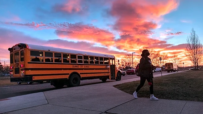
Saturday will likely be the final day of intense rainy weather for central Ohio after more than 11 days of consecutive rain. Sunday, Monday, Tuesday and Wednesday will be mostly sunny with some clouds, and with temperatures in the high 70s and low 80s.
Wednesday night, a 30% chance of rain is forecast through the evening. Its return, however, will be short-lived, as the sunny weather is expected to return Thursday with a high of 82.
Dispatch reporter Lilli Malone can be reached at lmalone@dispatch.com or on Instagram at @lillimwrites.
This article originally appeared on The Columbus Dispatch: Another round of storms expected this Saturday