




Ohioans enjoying September’s heat may not be thinking about snow yet, but a new Farmers’ Almanac map offers an early look at when the season’s first flakes could arrive.
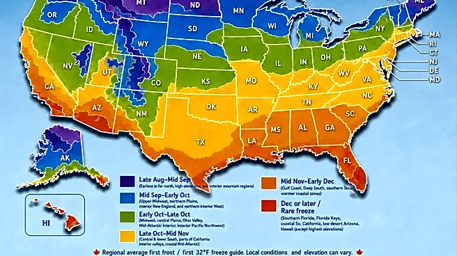
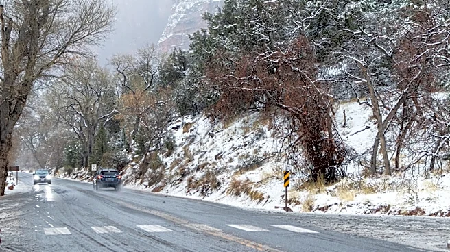
The publication released its first-snowfall map Sept. 9, placing Ohio among the states that typically record their first measurable snowfall between late November and December.
But that does not mean Ohio is guaranteed to see snow during that window. The Farmers’ Almanac said its map is based on typical snowfall timing and should be viewed as a climatological guide, not a forecast for a particular storm.
Here’s what Ohioans should know.
When could Ohio see its first snow of the season?
Ohio falls within the map’s late-November-to-December category, along with much
of the Ohio Valley and central United States.
The Almanac defines measurable snowfall as at least ⅒ inch of accumulation, the threshold commonly used in National Weather Service climate records.
A few flakes could arrive earlier without leaving measurable snow on the ground. The Almanac distinguishes among the first observed flakes, the first measurable snowfall and the first significant snowfall of at least 1 inch. Those milestones can occur weeks apart.

Could parts of Ohio see snow earlier?
Yes. The Almanac said snowfall timing can vary based on elevation, latitude, nearby bodies of water and the weather pattern in a particular year.
That means northern and northeastern Ohio, particularly areas affected by Lake Erie, could see snow sooner than other parts of the state. Lake-effect snow develops when cold air moves across comparatively warmer lake water, collecting heat and moisture before producing snow over land.
One early outbreak of Arctic air could also bring snow weeks ahead of the typical window, while a warmer fall could delay it until later in December.
Trending reporter Amani Bayo can be reached at abayo@dispatch.com.
This article originally appeared on The Columbus Dispatch: When could Ohio see its first snow? Farmers’ Almanac releases map