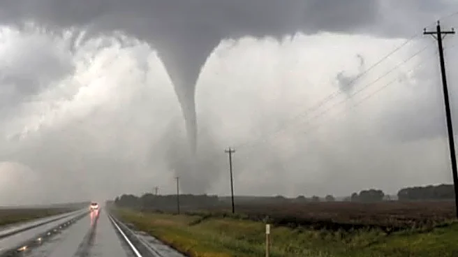

The National Weather Service said Wednesday, Aug. 19, that it has received multiple reports of funnel cloud sightings in west-central Ohio that they believe are cold air funnels − a weather phenomenon
that rarely causes damage and is difficult to pinpoint on radar.
Showers and thunderstorms moving across Ohio west to east will be capable of producing brief cold air funnels the evening of Aug. 19, the weather service's Wilmington office said, and they may move into central Ohio.
"Keep in mind, the majority of these [cold air] funnels will not reach the ground, but if they do, gusty winds and minor damage may occur," the weather service said.
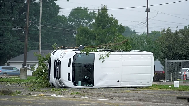
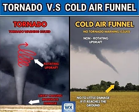
Cold air funnels form beneath showers or weak thunderstorms when the air aloft is especially cold, the weather service states on its website. While usually harmless, on rare occasions they can touch down and cause EF-0 level tornado damage with winds up to 85 mph, the weather service said.
In a post to X,the weather service asked anybody who notices funnel clouds in their area to report them.
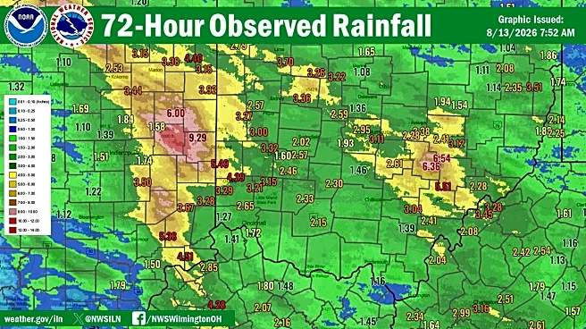
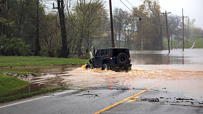
The weather service has also issued a flood watch until Thursday morning, Aug. 20, for Franklin, Delaware, Licking, Madison, Pickaway and Union counties in central Ohio and several other counties in west-central and southwestern Ohio.
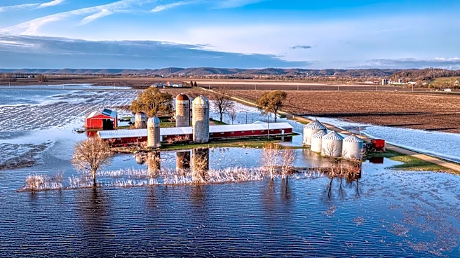
A flood watch is also in effect until Thursday afternoon for several east-central and southeastern Ohio counties that have already been flooded by storms Aug. 11 and since, including Perry, Muskingum and Morgan counties that were designated disaster areas by Gov. Mike DeWine.
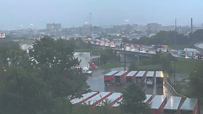
Central Delaware County, in particular, is under a flood advisory until 8:45 p.m. Aug. 19 due to thunderstorms moving through that have already caused minor flooding and an additional 1 to 2 inches of rain were expected in the evening. Some locations the weather service warned may experience flooding include: Delaware, Sunbury, Galena, Ostrander, Interstate 71 at US Route 36/State Route 37, Alum Creek State Park, Stratford, Olive Green and Bellepoint.

What is a cold air funnel?
Cold air funnels are the result of cold air coming near rain clouds and are common in the fall and spring when the sun heats up the lower parts of the atmosphere and causes storms. They can present themselves a cone-shaped clouds which are called funnel clouds.
According to the NWS, cold air funnels are usually harmless, but if they touch down on the ground they can develop into tornados and bring winds of about 85 miles-per-hour, causing damage.
Because they are weak and hard to predict on radars, tornado warnings are rarely issued for these events, and crowd-sourced sightings are vital to tracking them effectively.
Dispatch reporter Lilli Malone can be reached at lmalone@dispatch.com or on Instagram at @lillimwrites.
This article originally appeared on The Columbus Dispatch: Cold air funnel clouds may appear in central Ohio, flood watch underway