
A year after central Ohio endured one of its driest Augusts on record, repeated storms have drenched the region this month, causing flooding and pushing Columbus toward the opposite end of the record books.
John Glenn Columbus International Airport has recorded 9.94 inches of rain through Aug. 24
, according to the National Weather Service. That's more than 16 times the roughly 0.6 inches Columbus received during all of August 2025.The difference is also showing up in the region's water supply.

Hoover Reservoir, which dropped considerably following last year's summer drought, is now full and slightly overflowing, according to Columbus Water & Power.
The dramatic turnaround comes one year after a lack of rainfall sent drought conditions spreading across Ohio. By mid-September 2025, Columbus had recorded just 0.87 inches of rain between Aug. 1 and Sept. 15, breaking an 86-year-old record for the driest stretch during that period. The previous record was 1 inch, set in 1939.
Ohio as a whole recorded its driest August since 1895 last year, state climatologist Aaron Wilson told The Dispatch at the time.
By Sept. 11, 2025, only 4% of Ohio was free of drought or abnormally dry conditions, according to the U.S. Drought Monitor. Moderate drought had reached Franklin County, while moderate and severe drought conditions were expanding elsewhere in the state.
Columbus more than doubles typical rainfall
This August has brought nearly the opposite problem.
The heaviest rain storm dropped 2.87 inches of rain at John Glenn Columbus International Airport on Aug. 20, bringing the month's total from 7.04 inches to 9.91 inches. That number has since climbed to 9.94 inches after 0.03 inches of rain fell this weekend.
Normally, Columbus receives 3.74 inches of rain during the entire month of August, according to National Weather Service data.
That means Columbus had already received more than 2½ times its normal rainfall for the month with a week to go.
The city's wettest August on record came in 2003, when 11.46 inches of rain fell. As of Aug. 19, Columbus was 1.55 inches shy of tying that record.
Is Hoover Reservoir full after Columbus' rainy August?
The difference between last August's drought and this year's deluge can clearly be seen Hoover Reservoir.
The reservoir was at an elevation of 894.14 feet at 7 a.m. Aug. 24 and was full and slightly overflowing, according to Columbus Water & Power. Hoover's normal pool elevation is 894 feet.
At the same time last year, Hoover's elevation was 888.45 feet − nearly 6 feet lower than it is today. The average elevation for Aug. 24 since 1990 is 889.07 feet.
The reservoir continued to drop following last summer's drought. By Dec. 1, 2025, Hoover was 13.5 feet below normal, prompting the Columbus Division of Water to pump water from Alum Creek into Hoover to help ensure the city could meet customer demand.
It still remained above its historic low. Since 1990, Hoover's lowest recorded level was 20.4 feet below normal on Dec. 8, 1994.

This year's persistent rainfall has had the opposite effect. Columbus Water & Power said all of its water-supply reservoirs were full and slightly overflowing as of Aug. 24.
Hoover Reservoir has limited ability to hold excess water during heavy rain. If water levels rise beyond that capacity, excess water must be released to protect the dam, according to the department. Franklin County Emergency Management and Homeland Security is notified if those releases are necessary.
Despite its current level, Hoover isn't expected to remain this high through the end of the year. Reservoir levels typically decline during the fall as rainfall becomes more limited, with Hoover generally reaching its lowest elevations in November or December.
Why has August 2026 been so wet in Ohio?
National Weather Service meteorologist Nate McGinnis previously told The Dispatch that an unusual atmospheric pattern has helped fuel the persistent rainfall.
"We've had a ridge of high pressure across the U.S.," McGinnis said. "High pressures spiral clockwise and it's constantly feeding moisture into the Midwest."
That steady supply of warm, humid air has fueled repeated rounds of showers and thunderstorms instead of the more isolated storms Ohio typically experiences during late summer.
"This is definitely an unusual pattern," McGinnis said. "Typically this time of year we're dealing with thunderstorms that just come up and come down. It's more or less kind of spotty."

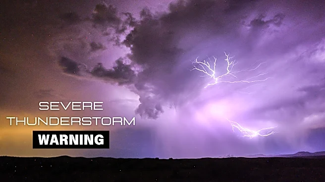
The pattern has also contributed to an active stretch of severe weather. McGinnis said the National Weather Service may have issued more tornado warnings this August than in any August since the 1990s.
The rainfall has not been evenly distributed. Some communities have received substantially more rain than others, but Columbus' totals have still been remarkable.
Through Aug. 16, Columbus had received 5.37 inches, making it the city's fourth-wettest start to August since weather records began in 1878. Just three days later, the total had jumped to 9.91 inches.
The 9.94 inches of total rainfall that have now accumulated may not be the end of the story, either.
Forecasters have said additional rain is possible before August ends, meaning a month that began wet could finish among the wettest Augusts Columbus has recorded in nearly 150 years of official weather observations.
Trending reporter Amani Bayo can be reached at abayo@dispatch.com.
This article originally appeared on The Columbus Dispatch: Ohio went from drought to flooding in a year. A tale of two Augusts