







Another round of heavy rain could bring flash flooding to parts of central Ohio the evening of Aug. 19 and overnight, prompting the National Weather Service to issue a flood watch for much of central Ohio region.
The watch is in effect from 4 p.m. Aug. 19 through the morning of Aug. 20 and includes Franklin, Delaware, Licking, Fairfield, Pickaway, Madison and several surrounding counties.
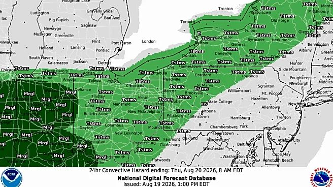
Forecasters say a complex of thunderstorms is expected to develop later in the afternoon and continue through the overnight hours, with repeated rounds of rain falling on already saturated ground.
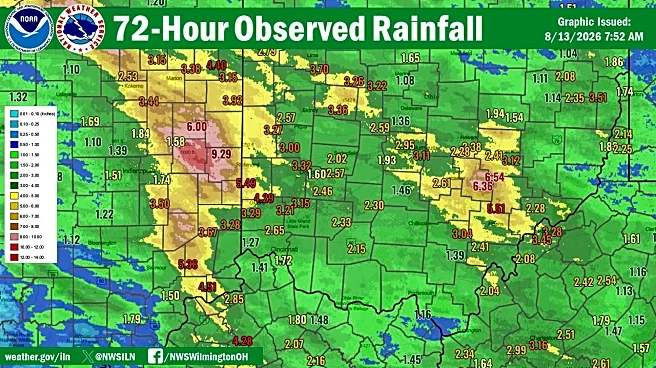
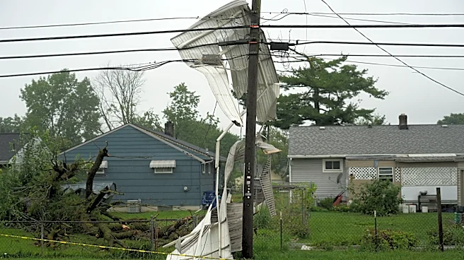
The flood watch comes just over a week after severe thunderstorms and tornadoes battered central Ohio on Aug. 11, leaving behind flood damage in some communities and contributing
to already saturated ground across the region.
Why was a flood watch issued?
According to the National Weather Service in Wilmington, flash flooding caused by excessive rainfall is possible as multiple rounds of thunderstorms move across the area.
The agency warned that the combination of heavy rain and extremely wet soil conditions could lead to excessive runoff, causing flooding along rivers, creeks, streams and other low-lying or flood-prone locations.
Residents are urged to monitor the forecast and be prepared to take action if a flash flood warning is issued.
The weather service also advises drivers to avoid flooded roadways, low-lying areas, highway dips and underpasses if heavy rain develops.
Is severe weather expected?
The National Weather Service's hazardous weather outlook says showers and thunderstorms in the afternoon and into the night may produce heavy rainfall, with flooding possible where storms repeatedly move over the same locations.
At this time, forecasters say the probability of widespread hazardous weather beyond Aug. 20 is low, and spotter activation is not expected.
Columbus weather forecast for the rest of the week
After night storms Aug. 19, the weather is expected to gradually improve heading into the weekend. Here's the forecast:
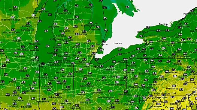
- Aug. 19: A chance of showers and thunderstorms develops after 5 p.m. under mostly cloudy skies. There is a high near 80 degrees. Evening: Showers and thunderstorms are likely, especially during the evening and overnight hours. Rainfall totals between one-half and three-quarters of an inch are possible, with locally higher amounts in thunderstorms. There is a low around 66 degrees.
- Aug. 20: A few showers and thunderstorms may linger into the afternoon before skies gradually become mostly sunny. There is a high near 81 degrees. Evening: Partly cloudy with a low around 63 degrees.
- Aug. 21: Sunny with a high near 81 degrees.
- Aug. 22: Another chance of afternoon and evening showers and thunderstorms arrives, with a high near 80 degrees.
- Aug. 23-25: Mostly sunny and seasonable conditions return, with highs in the upper 70s to around 80 degrees and overnight lows in the upper 50s to low 60s.
Trending reporter Amani Bayo can be reached at abayo@dispatch.com.
This article originally appeared on The Columbus Dispatch: Flood warning issued for central Ohio counties as heavy rain return