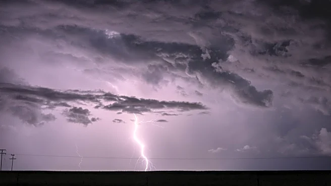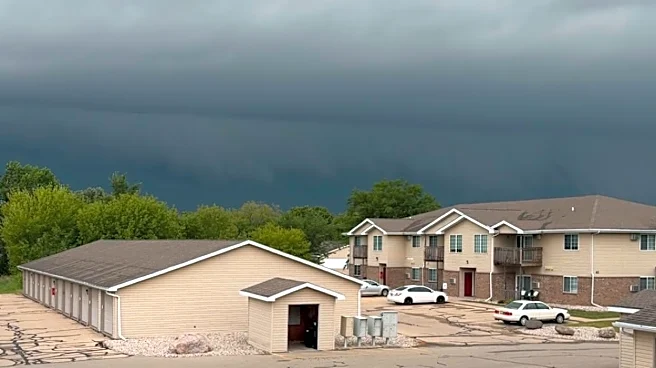









The break from active weather may be over, as storms begin moving into the Greater Cincinnati area.
A severe thunderstorm warning has been issued for Northwestern Butler County until 7:15 p.m.
The forecast called for the possibility of storms Monday, July 27, in the afternoon and evening into Tuesday morning, with the potential for damaging winds and large hail.
It's been six days since the most recent violent storms hit Greater Cincinnati, leaving Clermont County residents to clean up after tornado damage and East Side residents dealing with a return of flash flooding. A developing storm system could bring hazardous weather back
to parts of the region July 27. Forecasters from the National Weather Service in Wilmington say the highest risk appears to be areas west of Greater Cincinnati.
Here's what to know:
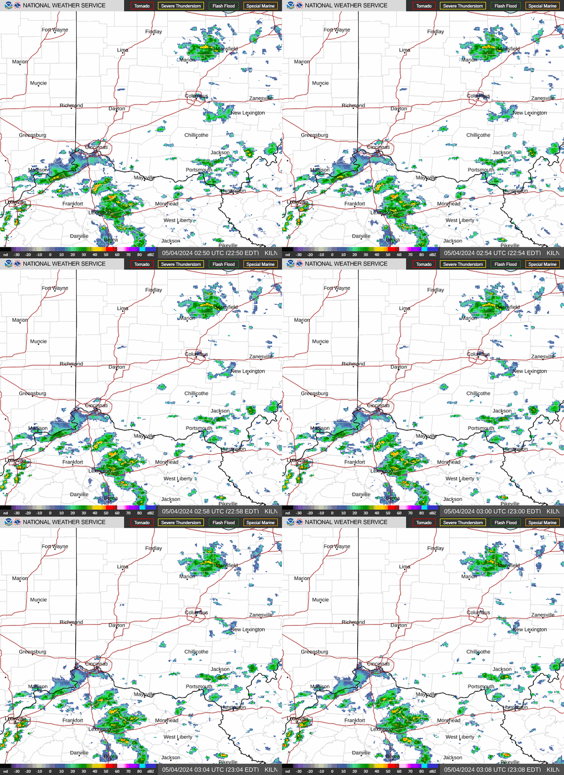
- Severe thunderstorms are possible this evening into tonight in southeast Indiana, Northern Kentucky, and southwest Ohio. Locally heavy rain is possible. Damaging wind is the main threat but large hail is also possible.
- Additional storms will likely continue into early Tuesday, July 28, before a cold front moves in. Forecasters are still unsure where these storms will hit.
You can share your photos or videos of storm damage or flooding with us by following this link.
Source: National Weather Service in Wilmington
This article originally appeared on Cincinnati Enquirer: Rain underway as severe weather returns tonight through tomorrow