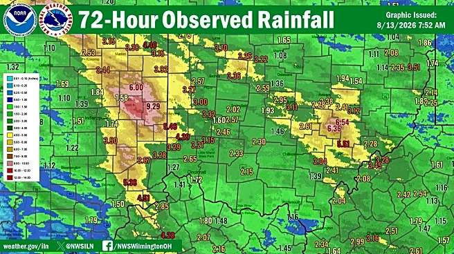




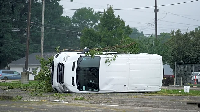
Several severe thunderstorms last week brought heavy rain, damaging winds and flooding to Ohio.
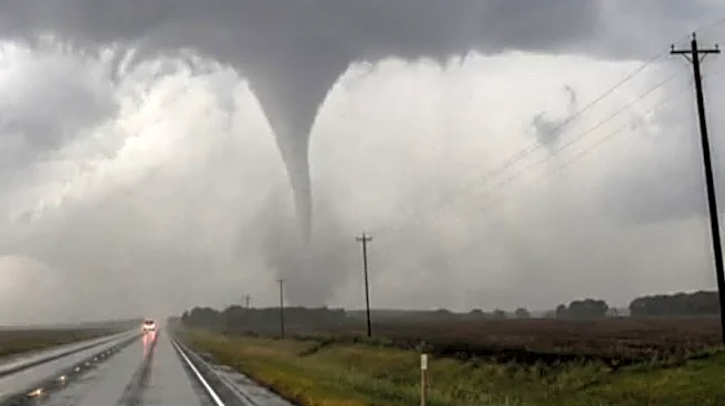
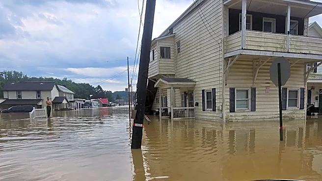
They also spawned nine tornadoes, according to the National Weather Service. The NWS office in Wilmington has confirmed nine twisters as of Aug. 19 in the Buckeye State, generated by two rounds of severe weather on Aug. 11 and 15. A possible derecho that struck Columbus and Central Ohio dumped four inches of rain on the region, brought hurricane-force winds and caused severe flooding. It cut power to tens of thousands of people.
So where did tornadoes touch down around Ohio? Here are the details from the NWS.
Nine tornadoes hit Ohio during severe weather last week. Here's where they touched down
The most recent tornado confirmation out of the Aug. 11 storms came in the Greater Cincinnati area. The NWS confirmed tornado ripped through Brown
and Adams counties for about eight minutes, from 4:16 p.m. to 4:24 p.m., leaving behind a 7-mile path of destruction 350 yards wide at its maximum. Wind speeds peak at about 100 mph, making it an EF1 on the Enhanced Fujita scale.
The NWS had previously confirmed six tornadoes out of that storm:
- Champaign County: An EF1 tornado with winds reaching 110 mph touched down southeast of Urbana at 9:30 a.m. and lifted 4 minutes later. It cut a path 3.6 miles long and 200 yards wide.
- Clark County: An EF2 tornado with wind speeds of 115 mph touched down at 9:33 a.m. near Catawba and lifted at 9:38 a.m., leaving a 3.5-mile path 400 yards wide at its maximum.
- Clark County: An EF1 tornado with wind speeds of 100 mph touched down east of Springfield at 9:31 a.m. and lifted 9 minutes later. It left behind a path 9.1 miles long and 200 yards wide at its maximum.
- Clark County: An EF0 tornado with winds of 80 mph touched down at 9:24 a.m. north of Springfield and lifted at 9:30 a.m., cutting a 4.5-mile path 150 yards wide.
- Franklin County: An EF1 tornado with winds reaching 100 mph touched down at 10:05 a.m. in south Columbus and lifted 4 minutes later. It cut a path 1.8 miles long and 100 yards wide.
- Madison County: An EF1 tornado with wind speeds of 90 mph touched down at 9:44 a.m. northwest of Choctaw Lake and lifted a minute later, leaving a 0.8-mile path 125 yards wide at its maximum.
Two other tornadoes from severe storms Aug. 15 were confirmed via video evidence, per the NWS. They touched down north of Dayton and Springfield, the NWS announced Monday, Aug. 17. One was confirmed north of Fletcher in Miami County, north of Dayton. The other touched down north of St. Paris in Champaign County, north of Springfield. Additional details, including their ratings on the Enhance Fujita scale, path and wind speeds, are pending as of Aug. 20.
How does NWS confirm tornadoes?
After suspected tornadoes are spotted, crews from National Weather Service survey possible tornado damage in person.
The pattern of damage, not how much damage was caused, determines whether it was a tornado, according to the weather service. For tornadoes, with their violently rotating columns of air, damage often has a chaotic appearance, with larger uprooted trees often crossing each other. Weather service surveyors often look at larger uproots of trees to get a true idea of where the wind was blowing from.
What's the difference between a tornado, a macroburst and a microburst?
The National Weather Service defines a microburst as a localized column of sinking air within a thunderstorm. Wind speeds in microbursts can reach up to 100 mph or higher, which is equivalent to an EF1 tornado. Winds this high can cause major damage to homes and other structures and level hundreds of trees.
The difference between a microburst and a macroburst is the size, according to the National Oceanic and Atmospheric Administration. A macroburst is larger than 2.5 miles, while a microburst is smaller than that. A microburst is also short-lived, usually lasting 5 or 10 minutes.
Again, the weather service looks at the pattern of damage to determine a microburst or macroburst. Damage from both looks flattened out, with trees pointing in the same direction or fanning out from one another.
How are tornadoes rated?
The Enhanced Fujita Scale classifies tornadoes into the following categories:
- EF0: Weak, with wind speeds of 65 to 85 mph
- EF1: Weak, 86 to 110 mph
- EF2: Strong, 111 to 135 mph
- EF3: Strong, 136 to 165 mph
- EF4: Violent, 166 to 200 mph
- EF5: Violent, greater than 200 mph
This article originally appeared on USA TODAY: 9 tornadoes hit Ohio last week, per NWS. Here's where