


Greater Cincinnati is not out of the woods yet.
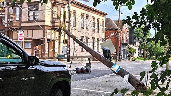
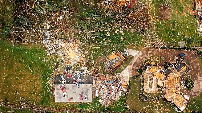
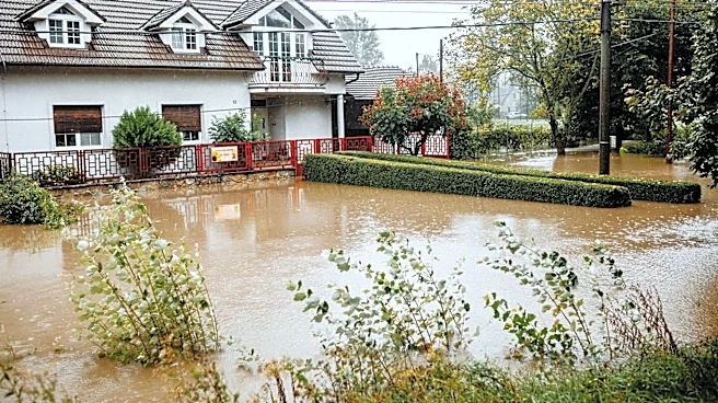
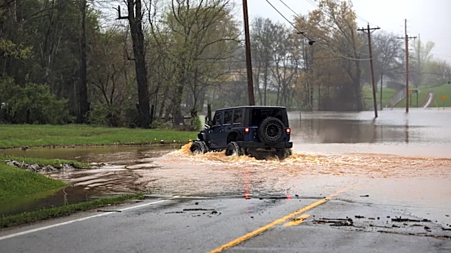
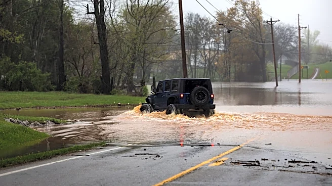
Rain and thunderstorms could continue this weekend, extending a string of rainy days that saw the region's first derecho in 14 years and a historic record for river overflow.
Butler and Warren counties in Ohio, as well as Franklin County in Indiana, will be under a flood watch from Saturday, Aug. 15, afternoon through 8 a.m. Sunday, Aug. 16, according to the National Weather Service of Wilmington.
"Heavy rainfall will continue to be possible which could lead to flash flooding," the weather service said in a social media post.
Saturday could see thunderstorms after 2 p.m., Current models put the system closer to Dayton and Columbus, but a weather service meteorologist said they could extend into Greater
Cincinnati's northern suburbs.
A couple of rounds of storms will move across the region this afternoon and tonight. Heavy rainfall will continue to be possible which could lead to flash flooding. Additional storms are possible Sunday afternoon. pic.twitter.com/rPoCWJrP8x
— NWS Wilmington OH (@NWSILN) August 15, 2026
Sunday is expected to see storms lower in intensity but closer to downtown Cincinnati. There will be a chance for showers and storms in the late afternoon, as well as into the evening.
Because of how saturated soils already are, meteorologists said it won't take much more rain for renewed flooding in Greater Cincinnati.
Storms are expected to pause early next week to allow for a short period of dry weather. Rain is expected to return − again – around Wednesday, officials said.
Apart from all the rain,damaging winds could also pose a threat this weekend, and an isolated tornado cannot be ruled out, the weather service said. Additionally, the heat index may reach 100 on Aug. 15 and be at or above 100 on Aug. 16.
Cincinnati's 7-day forecast
Saturday: A chance of showers and thunderstorms after 2 p.m. Partly sunny, with a high near 91. Calm wind becoming southwest around 5 mph in the afternoon. Chance of precipitation is 50%. New rainfall amounts of less than a 10th of an inch, except higher amounts possible in thunderstorms.
Saturday night: Showers and thunderstorms likely, mainly before midnight. Mostly cloudy, with a low around 75. Calm wind. Chance of precipitation is 60%. New rainfall amounts between a 10th and quarter of an inch, except higher amounts possible in thunderstorms.
Sunday: A slight chance of showers and thunderstorms before 4 p.m., then a chance of showers and thunderstorms after 5 p.m. Mostly sunny, with a high near 91. Light southwest wind becoming west 5 to 9 mph in the morning. Chance of precipitation is 30%. New rainfall amounts between a tenth and quarter of an inch, except higher amounts possible in thunderstorms.
Sunday night: A chance of showers and thunderstorms before 8 p.m., then showers likely and possibly a thunderstorm between 8 p.m. and 2 a.m., then a slight chance of showers after 2 a.m. Mostly cloudy, with a low around 73. West wind 5 to 7 mph becoming calm in the evening. Chance of precipitation is 60%. New rainfall amounts between a 10th and quarter of an inch, except higher amounts possible in thunderstorms.
Monday: A slight chance of showers before 8 a.m., then a slight chance of showers and thunderstorms after 2 p.m. Mostly sunny, with a high near 86. Calm wind becoming north 5 to 8 mph in the afternoon. Chance of precipitation is 20%.
Monday night: Partly cloudy, with a low around 64.
Tuesday: Sunny, with a high near 85.
Tuesday night: Mostly clear, with a low around 66.
Wednesday: A chance of showers and thunderstorms after 2 p.m. Mostly sunny, with a high near 88. Chance of precipitation is 30%.
Wednesday night: A chance of showers and thunderstorms. Mostly cloudy, with a low around 68. Chance of precipitation is 50%.
Thursday: Mostly sunny, with a high near 82.
Thursday night: Partly cloudy, with a low around 62.
Friday: Mostly sunny, with a high near 81.
Source: National Weather Service in Wilmington
This article originally appeared on Cincinnati Enquirer: More rain expected this weekend, flood watch issued in parts of region