




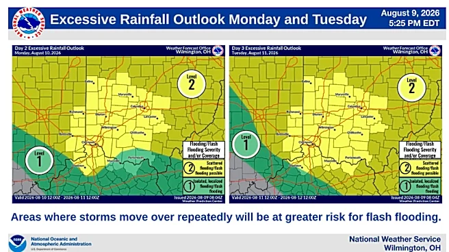


The Cincinnati area is bracing for its third consecutive day of rain and storms Thursday.
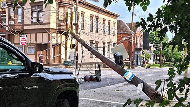
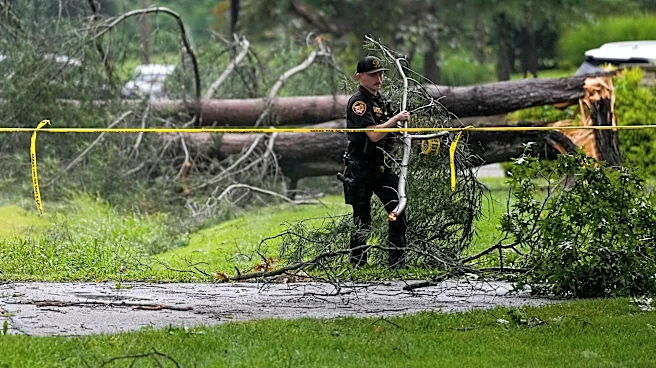
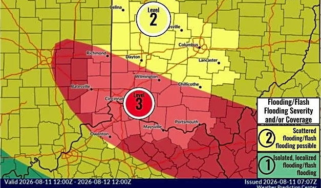
Earlier rounds of storms brought devastating floods to parts of Indiana and central Ohio, and widespread power outages and damage to Greater Cincinnati.
After a brief break from the rain and storms early Thursday, Aug. 13, forecasters are warning that another round of showers and thunderstorms could bring heavy rainfall and renewed flooding concerns through Friday morning.
The National Weather Service in Wilmington says additional rounds of rain and storms are expected to develop Thursday afternoon, and continue overnight into Friday, Aug. 14. While much of Thursday morning is expected to remain dry, conditions will become more favorable for storm development
later in the day.
Additional storms will move into the region later in the day. The risk for heavy rain, including storms repeatedly moving over the same locations, will increase tonight and continue into Friday. This may result in renewed flash flooding and cause additional river flooding. pic.twitter.com/qN6VWmrPSr
— NWS Wilmington OH (@NWSILN) August 13, 2026
Forecasters say a more significant weather disturbance is expected to move through the region Thursday evening, leading to more widespread showers and thunderstorms overnight. Weather models indicate bands of heavy rain could develop and move repeatedly over the same locations, increasing the risk of flooding.
Some storms could become strong to severe, with damaging winds, as the region works to recover damage and power outages caused by storms Tuesday. The overall primary concern is heavy rainfall, especially in areas already saturated from recent storms. A flood watch remains in place for the region through 11 a.m. Friday.
"The greatest threat will occur tonight into Friday morning," the weather service said in its forecast discussion.
Cincinnati forecast: When to expect more rain and storms
- Thursday: Mostly dry early, then showers and thunderstorms developing during the afternoon and evening. Heavy rain possible.
- Thursday night into Friday morning: Highest risk for widespread rain, localized flooding and repeated thunderstorms.
- Friday afternoon: Rain chances decrease, though isolated showers remain possible.
- Saturday and Sunday: Hotter and generally drier with only limited storm chances.
- Sunday night: Cold front brings another chance for showers and thunderstorms.
What happens after Friday?
The active weather pattern is expected to ease heading into the weekend.
A ridge of high pressure will build into the region, leading to fewer showers and thunderstorms and a noticeable warming trend. High temperatures are expected to climb into the upper 80s and lower 90s, with humidity pushing heat index values toward advisory levels in some areas.
The drier stretch is expected to last through much of the weekend before another cold front arrives Sunday night, bringing the next chance for showers and thunderstorms.
This article originally appeared on Cincinnati Enquirer: Cincinnati braces for 3rd day of storms. See forecast for what's ahead