









Rounds of showers and thunderstorms will keep the Cincinnati region on alert through a weekend jam-packed with big events. Saturday, Aug. 1, brings the highest risk for severe weather, including isolated tornadoes, damaging winds and localized flooding.
The forecast comes on one of the busiest summer weekends of the year. With Paddlefest, Goettafest, Chris Stapleton and Evanescence concerts, Bengals training camp, and Reds and FC Cincinnati games scheduled for Saturday, all eyes will be on the timing and intensity of the storms.
Early morning showers should do little more than wet the ground, but they will help prime the atmosphere for additional development as a slow-moving storm system approaches.
A low pressure system will help generate rounds
of showers and storms today. Storms capable of heavy rainfall, damaging wind gusts and even brief tornadoes are possible. This is due to the close proximity of the nearly stacked low pressure over the region. pic.twitter.com/fv58U8r6wr
— NWS Wilmington OH (@NWSILN) August 1, 2026
Here's what we know about the storms:
Storms could bring rain, tornadoes, flooding Saturday
The most active and potentially dangerous period currently appears to be from the afternoon into the evening, as a low-pressure system moves closer to the Ohio Valley, according to forecasters at the National Weather Service in Wilmington. Anyone with outdoor plans Saturday should closely monitor forecasts and be prepared to move indoors quickly if warnings are issued.
Forecasters say there is potential for a few brief tornadoes, especially across eastern Indiana, Northern Kentucky and Southwest Ohio, including the Cincinnati metro area.
A low pressure system will usher in showers and storms capable of producing heavy rainfall. The flood risk increases where repeated rounds of storms occur. Additional rainfall will also be found on Sunday. pic.twitter.com/SjmPBpLZhO
— NWS Wilmington OH (@NWSILN) August 1, 2026
Damaging wind gusts are also possible in stronger storms.
Heavy rain may be an equally significant concern. Storms are expected to move slowly, and some communities could see repeated rounds of rain tracking over the same locations. That could lead to localized flooding, particularly in low-lying and poor-drainage areas. The corridor with the greatest flooding threat largely overlaps the area facing the highest tornado risk.
Conditions should gradually improve later Saturday night as a drier slot wraps into the system, allowing storm coverage to decrease.
What do expect Sunday
Sunday will not be a washout, but the unsettled pattern continues as the slow-moving storm system lingers nearby. Widespread showers and scattered thunderstorms remain in the forecast, although the greatest severe-weather threat is expected to shift east of Cincinnati toward central and eastern Ohio. Even so, an isolated strong storm cannot be ruled out across the Greater Cincinnati region.
Any thunderstorm Sunday will also be capable of producing brief heavy downpours, keeping the risk for localized flooding in place.
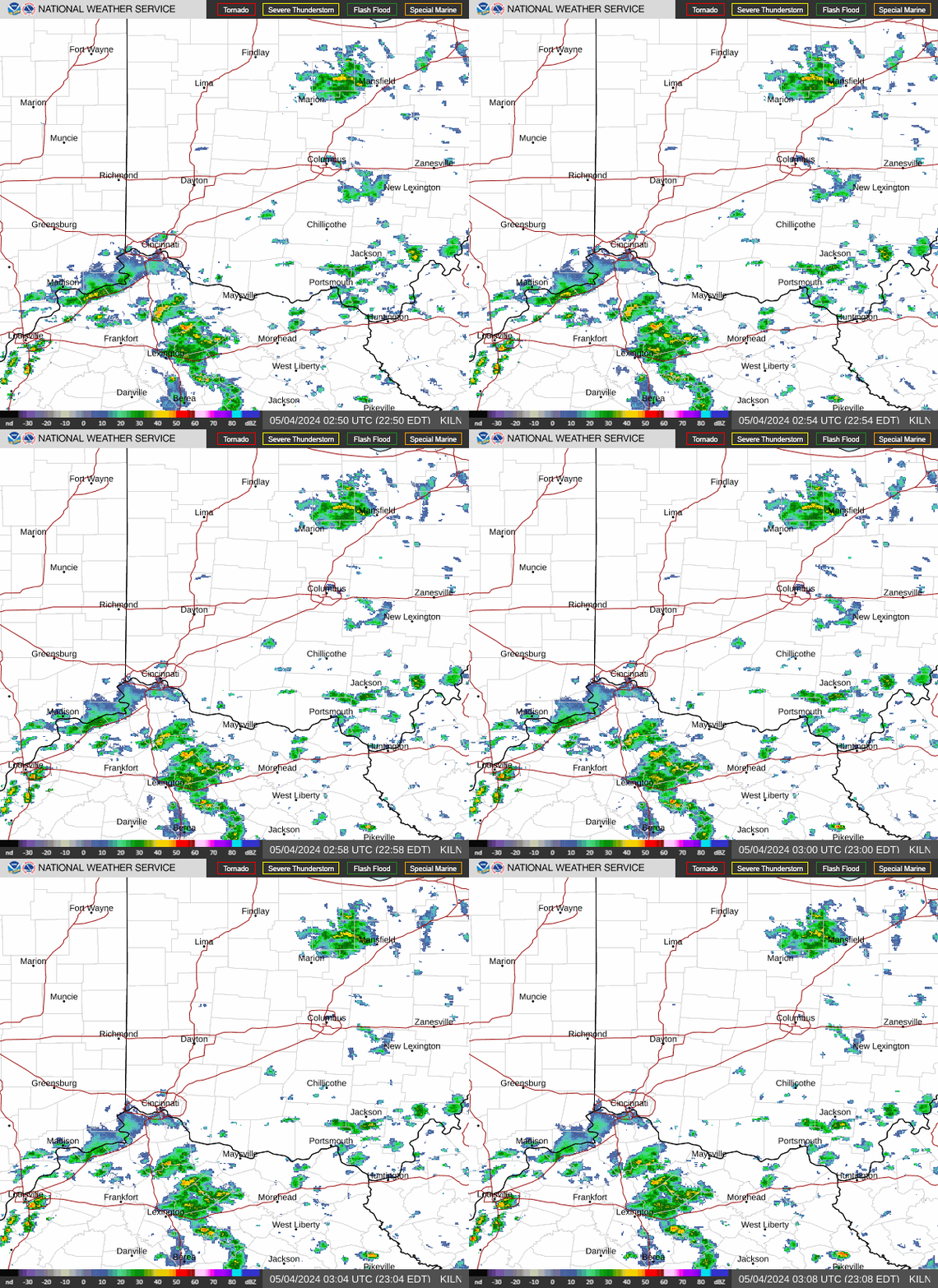
Live radar for Cincinnati and Northern Kentuky area
Cincinnati area weather forecast
Saturday: Showers and thunderstorms likely, then showers and possibly a thunderstorm after 3 p.m. High near 83. Southeast wind 6 to 11 mph, with gusts as high as 22 mph. Chance of precipitation is 80%. New rainfall amounts between three quarters and one inch possible.
Saturday night: Showers and possibly a thunderstorm before 11 p.m., then a chance of showers between 11 p.m. and 3 a.m. Low around 68. South wind 3 to 8 mph. Chance of precipitation is 80%. New precipitation amounts between a quarter and half of an inch possible.
Sunday: Showers likely, then showers and possibly a thunderstorm after 2 p.m. High near 81. South wind 5 to 7 mph. Chance of precipitation is 90%. New rainfall amounts between a tenth and quarter of an inch, except higher amounts possible in thunderstorms.
Sunday night: Showers and thunderstorms before 11 p.m., then a chance of showers between 11 p.m. and 2 a.m. Low around 66. Light northwest wind. Chance of precipitation is 80%. New precipitation amounts of less than a tenth of an inch, except higher amounts possible in thunderstorms.
Monday: A slight chance of thunderstorms before 8 a.m., then a chance of showers and thunderstorms between 8am and 2pm, then showers likely and possibly a thunderstorm after 2 p.m. Partly sunny, with a high near 81. Chance of precipitation is 60%. New rainfall amounts between a tenth and quarter of an inch, except higher amounts possible in thunderstorms.
Monday night: Showers likely and possibly a thunderstorm before 8 p.m. Partly cloudy, with a low around 65. Chance of precipitation is 60%.
Source: National Weather Service in Wilmington
This article originally appeared on Cincinnati Enquirer: Cincinnati weather forecast shows tornado, flood risk as big events planned