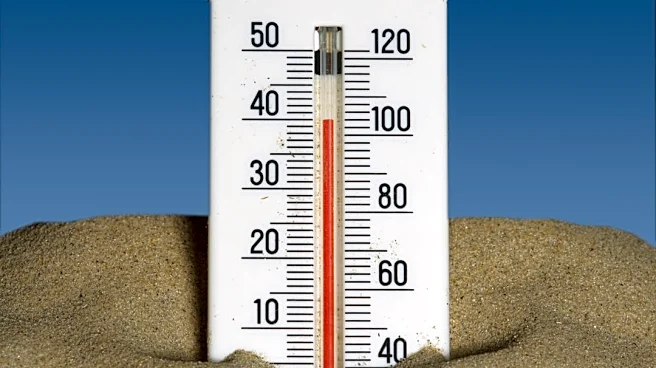









Greater Cincinnati is expected to get brief break from late-summer heat.
Temperatures are expected to drop into the low to mid 80s beginning Sept. 6 and remain there through Labor Day, according to the National Weather Service of Wilmington. Highs in the 80s should continue into Monday, and overnight lows could be as cold as the low 60s.
"Unfortunately," the National Weather Service says, "this reprieve is short lived."
Temperatures hitting the low 90s will return by Tuesday, Sept 8. Rain is possible in the middle of the week, posing a risk for even higher heat index from humidity for what has been an already hot end to summer.
Greater Cincinnati's 7-Day Forecast
Sunday: Sunny with a high near 83. Northeast wind 7 to 9 mph.
Sunday Night: Mostly clear with a low around 63. Northeast
wind 3 to 7 mph.
Labor Day: Mostly sunny with a high near 87. Northeast wind 3 to 7 mph.
Monday Night: Mostly clear with a low around 66.
Tuesday: Mostly sunny with a high near 90.
Tuesday Night: Partly cloudy with a low around 70.
Wednesday: Sunny with a high near 94.
Wednesday Night: A chance of showers after 2 a.m. Partly cloudy with a low around 72. Chance of precipitation is 50%.
Thursday: A chance of showers. Mostly cloudy with a high near 84. Chance of precipitation is 60%.
Thursday Night: A chance of showers before 8pm. Partly cloudy, with a low around 63. Chance of precipitation is 30%.
Friday: Sunny with a high near 83.
Friday Night: Mostly clear with a low around 62.
Saturday: Sunny with a high near 86.
Source: National Weather Service of Wilmington. Enquirer Breaking News Reporter Gillian Stawiszynski contributed to this report.
This article originally appeared on Cincinnati Enquirer: Labor Day to offer brief break from heat before high temps return