



After a dry stretch, showers and thunderstorms are expected to return to the region as Cincinnati gears up for a jam-packed weekendof events.
Dry, sunny weather is expected Friday, July 31, with highs in the mid-80s.
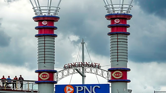
Showers and thunderstorms are likely Saturday, Aug. 1 and Sunday, Aug. 2 as crowds gather for the final weekend of Glier's Goettafest, Ohio River Paddlefest, a three-game Reds-Pirates series, Omega Psi Phi Fraternity Inc.'s 85th Grand Conclave and Chris Stapleton's concert at Paycor Stadium. Slow-moving storms and heavy rain are forecast at times.
Isolated strong storms are possible Saturday. Heavy rain on Saturday and Sunday could cause localized flooding. Some of the stronger storms may also produce damaging winds.
Increased cloud
cover and rain will keep temperatures cooler, with highs mainly in the 70s and low 80s. Showers and thunderstorms are expected to continue into next week. A gradual warming trend will follow, with highs climbing into the mid- to upper 80s by the middle of the week.
A low pressure system will bring the chance for widespread rainfall on Saturday through Saturday night. Heavy rain is possible. pic.twitter.com/lxcFaTWOfs
— NWS Wilmington OH (@NWSILN) July 30, 2026
Cincinnati 7-day detailed forecast
Friday: Mostly sunny, with a high near 90. Calm wind becoming southeast around 5 mph in the afternoon.
Friday night: Mostly cloudy, with a low around 70. Light southeast wind.
Saturday: Showers and possibly a thunderstorm before 2 p.m., then showers and thunderstorms likely, mainly after 3 p.m. High near 82. Southeast wind 6 to 10 mph, with gusts as high as 20 mph. The chance of precipitation is 80%. New rainfall amounts between a half and three-quarters of an inch are possible.
Saturday night: Showers and possibly a thunderstorm before 2 a.m., then a chance of showers between 2 a.m. and 5 a.m., then a chance of showers and thunderstorms after 5 a.m. Low of around 68. Southeast wind 5 to 8 mph becoming calm after midnight. Chance of precipitation is 80%. New rainfall amounts between a half and three-quarters of an inch possible.
Sunday: Showers and thunderstorms likely, then showers and possibly a thunderstorm after 11 a.m. High near 82. South wind 3 to 6 mph. The chance of precipitation is 90%. New rainfall amounts between a tenth and a quarter of an inch, except higher amounts possible in thunderstorms.
Sunday night: Showers and thunderstorms before 11 p.m., then a chance of showers between 11 p.m. and 2 a.m. Low of around 65. The chance of precipitation is 80%. New precipitation amounts of less than a tenth of an inch, except higher amounts possible in thunderstorms.
Monday: A chance of showers and thunderstorms after 2 p.m. Partly sunny, with a high near 82. The chance of precipitation is 30%.
Monday night: A chance of showers and thunderstorms before 8 p.m. Partly cloudy, with a low of around 65. The chance of precipitation is 30%.
Tuesday: A chance of showers after 2 p.m. Mostly sunny, with a high near 85. The chance of precipitation is 30%.
Tuesday night: A chance of showers before 8 p.m. Partly cloudy, with a low of around 66. The chance of precipitation is 30%.
Wednesday: A chance of showers and thunderstorms. Mostly sunny, with a high near 87. The chance of precipitation is 40%.
Wednesday night: A chance of showers and thunderstorms. Partly cloudy, with a low of around 68. The chance of precipitation is 30%.
Thursday: Mostly sunny, with a high near 88.
Source: National Weather Service in Wilmington
This article originally appeared on Cincinnati Enquirer: Storms loom over weekend with Chris Stapleton show, Goettafest, Reds, more