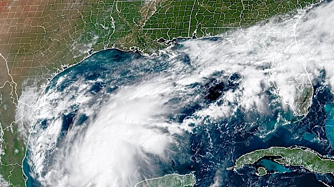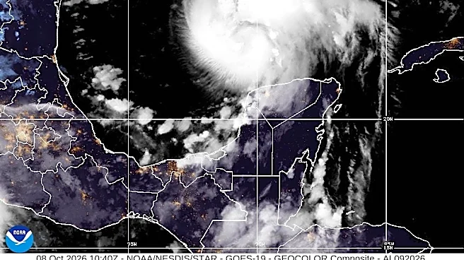





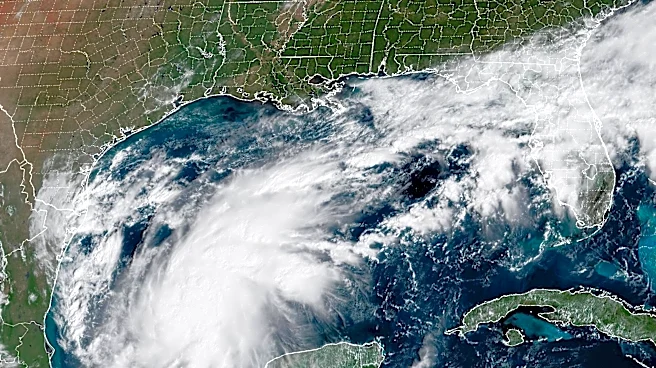

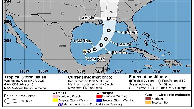
Memphis could soon see significant amounts of rain as Hurricane Isaias approaches Tennessee and the Mid-South.
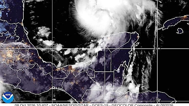
As of 8:20 a.m. ET Oct. 9, the center of Isaias was about 170 miles south-southeast
of the mouth of the Mississippi River, with maximum sustained winds near 120 mph and higher gusts. The storm is expected to make landfall sometime late in the evening of Oct. 9 or in the early hours of Oct. 10."The remnants of Hurricane Isaias are expected to impact much of the Mid-South on Saturday, although uncertainty remains," the National Weather Service wrote on Oct. 9.
Shop stormy weather essentials on Amazon
Isaias is the first hurricane of the 2026 Atlantic hurricane season, and forecast to be the first to strike the United States since Hurricane
Milton, two years ago to the day in 2024.
Here's when to expect the storm in the Mid-South.
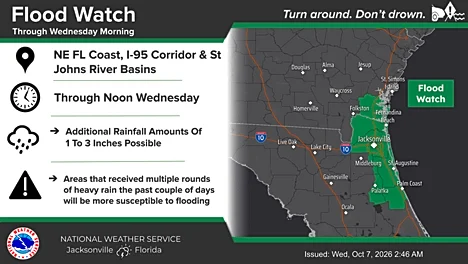
Flood watch issued in Memphis for Hurricane Isaias
In the Mid-South, heavy rainfall and strong winds pose significant threats. As Hurricane Isaias is expected to pass through Tennessee, the Mid-South is not anticipated to experience severe damaging weather.
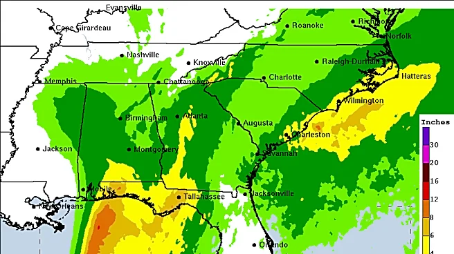
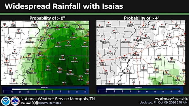
The area is expected to see wind gusts of up to 40 mph and 1 to 3 inches of rainfall. As a result, the National Weather Service has issued a flood watch from 1 a.m. Oct. 10 to 7 a.m. Oct. 11. This could escalate to a flash flood warning in some areas, depending on how much rain there is and how quickly it falls.
Additionally, temperatures will reach a weekly low. The high on Oct. 10 will reach only 65 degrees, with a low of 61 in the evening. There is a 100% chance of rain in the afternoon, tapering to 70% in the late evening.
Still a bit of uncertainty in regards to Isaias for this weekend, but here is one ensemble suite showing how, when, and where rainfall will set up. Stay up to date with this changing forecast as more hi-resolution guidance comes into view. #arwx #mowx #mswx #tnwx pic.twitter.com/udhZBseXYy
— NWS Memphis (@NWSMemphis) October 8, 2026
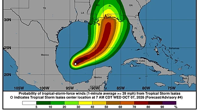
Hurricane tracker: See Isaias' forecast path
This forecast track shows the most likely path of the center of the storm. It does not illustrate the full width of the storm or its impacts, and the center of the storm is likely to travel outside the cone up to 33% of the time.
Hurricane Isaias spaghetti models
The illustration includes an array of forecast tools and models, and not all are created equal. The hurricane center uses only the top four or five highest-performing models to help make its forecasts, and not all of them are publicly available
This article originally appeared on Memphis Commercial Appeal: Hurricane Isaias prompts flood watch in Memphis. How much rain to expect
Our editors independently choose our recommendations. Some content is produced with paid support from a third party, however our editorial decisions remain independent. If you buy through our links, the USA TODAY Network may earn a commission. Prices and availability may change.