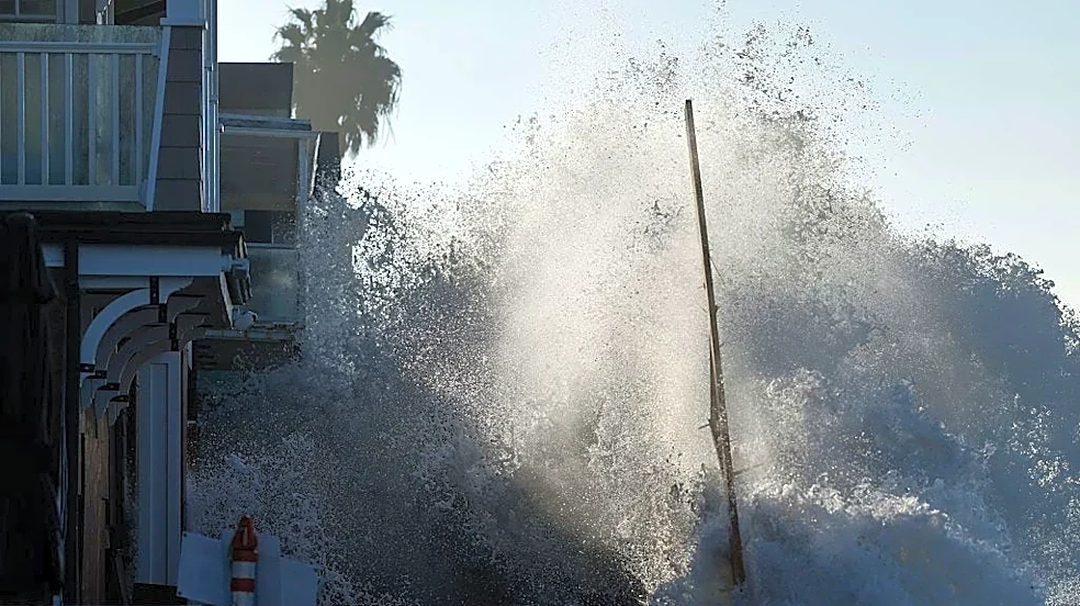


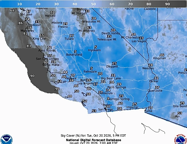



California has experienced a warm summer, but with a recent storm continuing into Oct. 22, it remains to be seen how it will affect reservoir levels.
The Golden State provides nearly half of the U.S.'s vegetables and over three-quarters of its fruits and nuts, according to the California Departmentof Food and Agriculture, so California's water levels matter
, especially as the state goes through years of on-and-off drought.The storm is expected to bring about 1 inch of rain or less each day across much of the state, with snow at higher elevations, so it could affect reservoir levels.
How are the state's major reservoirs before the storm?
How much water is in California lakes and reservoirs?
The California Department of Water Resources tracks the state's major reservoirs and releases daily reports.
As of midnight on Oct. 21, many reservoirs were over half full and over 100% of their respective historical averages.
- New Bullards Bar (40 miles northeast of Marysville in Yuba County): 68% full, 110% of its historic average
- Folsom Lake (25 miles east of Sacramento): 51% full, 94% of its historic average
- Camanche Reservoir (45 miles southeast of Sacramento): 80% full, 132% of its historic average
- Lake Sonoma (30 miles north of Santa Rosa): 60% full, 114% of its historic average
- San Luis Reservoir (70 miles east of Santa Cruz): 70% full, 158% of its historic average
- New Melones Reservoir (55 miles east of Stockton on the Stanislaus River): 63% full, 116% of its historic average
- Don Pedro Reservoir (45 miles east of Modesto): 73% full, 110% of its historic average
- Castaic Lake (51 miles east of Ventura): 89% full, 112% of its historic average
- Lake Casitas (16 miles north of Ventura): 95% full, 123% of its historic average
- Lake Cachuma (50 miles northwest of Ventura): 84% full, 131% of its historic average
- Lake McClure (50 miles east of Modesto): 50% full, 112% of its historic average
- Diamond Valley Lake (40 miles southeast of downtown Riverside): 98% full, 132% of its historic average
- Millerton Lake (20 miles north of Fresno): 43% full, 97% of its historic average
- Pine Flat Lake (35 miles east of Fresno): 18% full, 63% of its historic average
- Trinity Lake ( 66 miles north of Redding): 67% full, 114% of its historic average
- Lake Shasta (21 miles north of Redding): 51% full, 94% of its historic average
- Lake Oroville (80 miles north of Sacramento): 44% full, 81% of its historic average
The reservoir levels are fuller than average for most water sources. California is not currently experiencing a drought except for most of Del Norte County, according to the U.S. Department of Agriculture.
While the state is mostly in the clear, Californians should still monitor water levels because of the state's history of drought.
Ernesto Centeno Araujo covers breaking news for the Ventura County Star. He can be reached at ecentenoaraujo@vcstar.com, 805-437-0224 or @ecentenoaraujo on Instagram and X.
This article originally appeared on Palm Springs Desert Sun: California water reservoir levels and what they mean