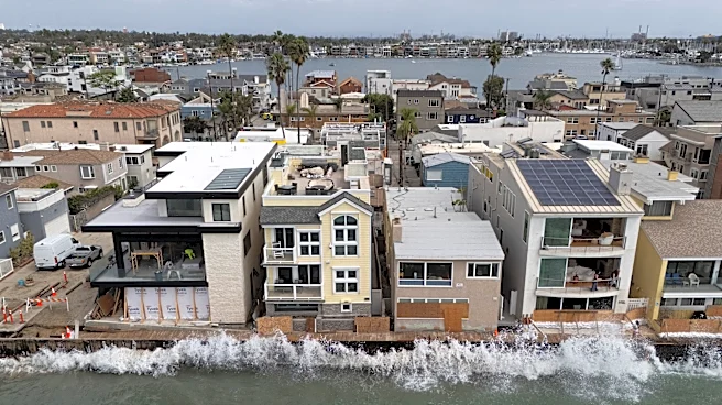

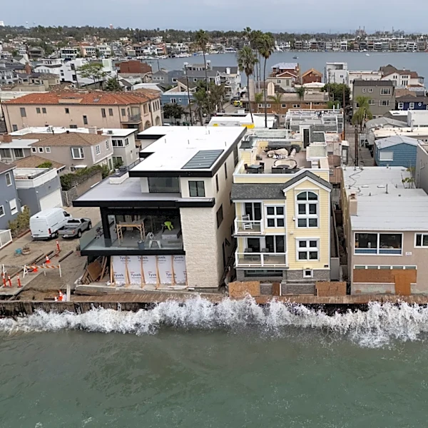


California’s coastline is already taking a beating.
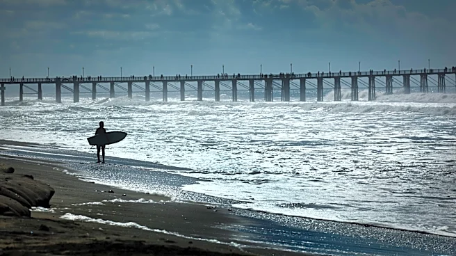
Powerful swells have battered beaches and coastal communities this summer, carving away sand and worsening erosion along parts of the coast as the Pacific hurricane season shows more activity than normal. Now, with a strengthening El Niño taking shape in the Pacific, scientists are watching another threat move toward California.
Now, a large pulse of warm water is traveling toward the West Coast and could raise coastal water levels by several inches when it arrives in the coming weeks — and in some locations, the increase could approach a foot.
That extra water could matter most during an El Niño winter, when storms, high surf, and coastal flooding can already put pressure on California’s shoreline.
California has already declared a state of emergency as officials prepare for potentially significant impacts this winter.
Experts watching 'Kelvin wave': What is it?
Despite the name, a Kelvin wave isn't a physical wave of water like the waves that break along a beach, NOAA says. It's a propagating disturbance that carries energy through the ocean, shifting heat, pressure, and sea level as it travels thousands of miles beneath the surface along the equator.
Kelvin waves can occur in both downwelling and upwelling phases:
- Downwelling phase: Warm water is pushed eastward, causing the thermocline — the boundary between warmer surface water and colder deep water — to sink. That suppresses the rise of colder water and can help warm the eastern Pacific, supporting the development and strengthening of El Niño.
- Upwelling phase: After the downwelling wave passes, colder water can rise closer to the surface, temporarily cooling parts of the ocean.
A downwelling Kelvin wave helped fuel the developing El Niño in late spring and early summer.
But the Kelvin wave now drawing attention along the U.S. West Coast is not simply the same wave sitting in the same place since June. NOAA has documented multiple downwelling Kelvin waves during the development of the 2026 El Niño, including one initiated in June.
As these waves reach the eastern Pacific, their effects can extend northward along the coast. Scientists are now watching for trapped Kelvin waves to move up the West Coast this fall.
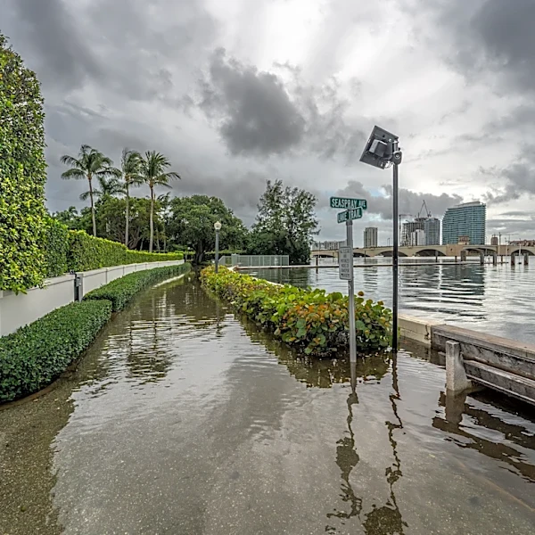
Those coastal waves can temporarily raise sea levels, adding to the water levels produced by high tides, large waves and storms. That can increase the potential for coastal flooding and erosion, particularly along beaches and other low-lying areas already vulnerable to storm impacts.
Can there be more than one Kelvin wave?
Yes. Multiple Kelvin waves can occur during a single El Niño.
Kelvin waves are individual disturbances that carry energy and warm subsurface water through the tropical Pacific, much like tropical waves in the atmosphere. Neither is a physical wave like the waves that break along a beach. Instead, both describe disturbances that move through the atmosphere or ocean.
Another change in the winds can generate another Kelvin wave, meaning several can develop over the course of an El Niño. They can be separated by weeks or months, with each one traveling eastward along the equatorial Pacific. An individual Kelvin wave typically takes about two to three months to cross the tropical Pacific.
That's what has happened during the development of the 2026 El Niño. NOAA has documented multiple Kelvin waves during the event, including a downwelling wave in June that pushed the thermocline deeper in the eastern Pacific. That limited the rise of colder water and helped warm the ocean.
Why California is watching this one
NOAA says El Niño is strengthening and is expected to continue into the Northern Hemisphere winter. The Climate Prediction Center says there is more than a 90% chance of a very strong El Niño during fall and winter, with a 75% chance during October through December of an event exceeding the strength of previous El Niños dating to 1950.
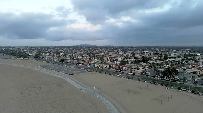
California's coast has already experienced significant erosion this month as powerful ocean swells have battered beaches and coastal communities during an active Pacific hurricane season.
A temporary rise in the baseline sea level can make those impacts worse. If a storm pushes water toward the coast while the ocean is already elevated, waves and storm surge don't have to rise as far to reach beaches, roads and other low-lying areas.
The California Coastal Commission says El Niño can temporarily raise sea level because warm water expands and is pushed toward the coast. Those elevated water levels can make low-lying areas especially vulnerable when they coincide with high tides and storms.
What happens when the ocean rises?
A few inches of additional water may not sound like much.
But coastal flooding is highly sensitive to small changes in water level, particularly when high tides, storm surge, and large waves occur at the same time. That can mean more water reaching beaches and coastal roads, faster beach erosion and a greater risk of flooding in vulnerable areas.
Recent storms have stripped beaches in parts of Southern California, damaged coastal infrastructure, and exposed areas normally protected by wider stretches of sand.
Scientists are watching it because it can raise the ocean's baseline at the same time other hazards arrive.
Brandi D. Addison covers weather across the nation as the Weather Connect reporter for the USA TODAY Network and contributes to Texas Connect coverage across the state. She can be reached at baddison@usatodayco.com. Follow her on Facebook here.
This article originally appeared on Palm Springs Desert Sun: Massive 'Kelvin wave' headed for California. Here's what it could mean