


California could see a wetter-than-average winter as a powerful El Niño strengthens in the Pacific Ocean, raising the odds of increased precipitation across the state while potentially bringing drought relief and flood risks.
The National Oceanic and Atmospheric Administration's winter outlook favors wetter-than-average conditions across parts of the southern United States, including California, from December through February. Forecasters also expect warmer-than-average temperatures across northern California, which could influence whether precipitation falls as rain or snow.
The developing El Niño is also being accompanied by oceanic Kelvin waves, which transport warm water eastward across the tropical Pacific. Scientists are monitoring these
waves as the climate pattern strengthens and its effects spread across the Pacific.
Must haves from Amazon in case of power outages
What is a Kelvin wave, and how does it affect California?
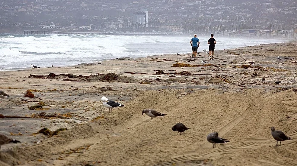
Kelvin waves are not the breaking waves seen along California's beaches. They are large pulses of water that travel beneath the ocean's surface, shifting warm water across the Pacific, according to NOAA.
These waves can help strengthen El Niño by moving warm water from the western Pacific toward the eastern Pacific. When they reach the Americas, they can continue north along the coast, temporarily raising sea levels and increasing coastal ocean temperatures.
The waves are one piece of a larger ocean-atmosphere system. El Niño develops when ocean temperatures in the central and eastern tropical Pacific warm above average and interact with atmospheric changes. Those changes can influence the Pacific jet stream and shift storm tracks, altering winter precipitation patterns thousands of miles away.
What does El Niño mean for California's winter forecast?
NOAA's winter outlook favors above-average precipitation across California and much of the southern tier of the United States. The agency expects a strong El Niño to shift the jet stream southward and eastward, increasing the odds of stormier conditions across parts of the South.
During an Oct. 15 briefing, NOAA forecaster Jon Gottschalck said stronger El Niño events have historically produced above-average precipitation across a larger portion of the country than more moderate events.
Gottschalck pointed to past strong events, including the winters of 1997-98 and 2015-16, as part of the analysis forecasters used to prepare the outlook.
The potential for additional precipitation could benefit drought-affected areas, he said, particularly by replenishing soil moisture. But he also cautioned that the benefits must be weighed against the possibility of flooding.
A wetter seasonal forecast does not mean California will see continuous rain or that every storm will be unusually strong. Seasonal outlooks indicate the likelihood of conditions being above or below historical averages. They cannot predict the timing or severity of individual storms months in advance.
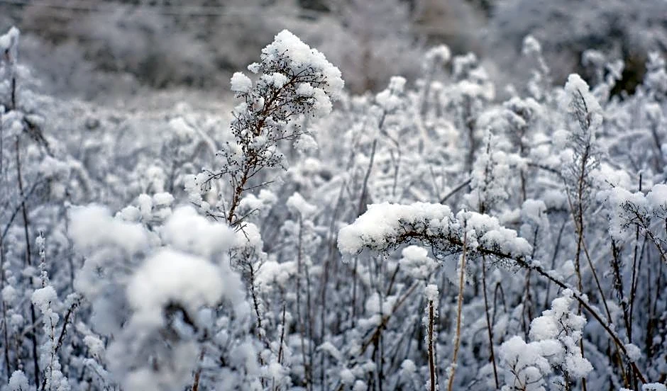
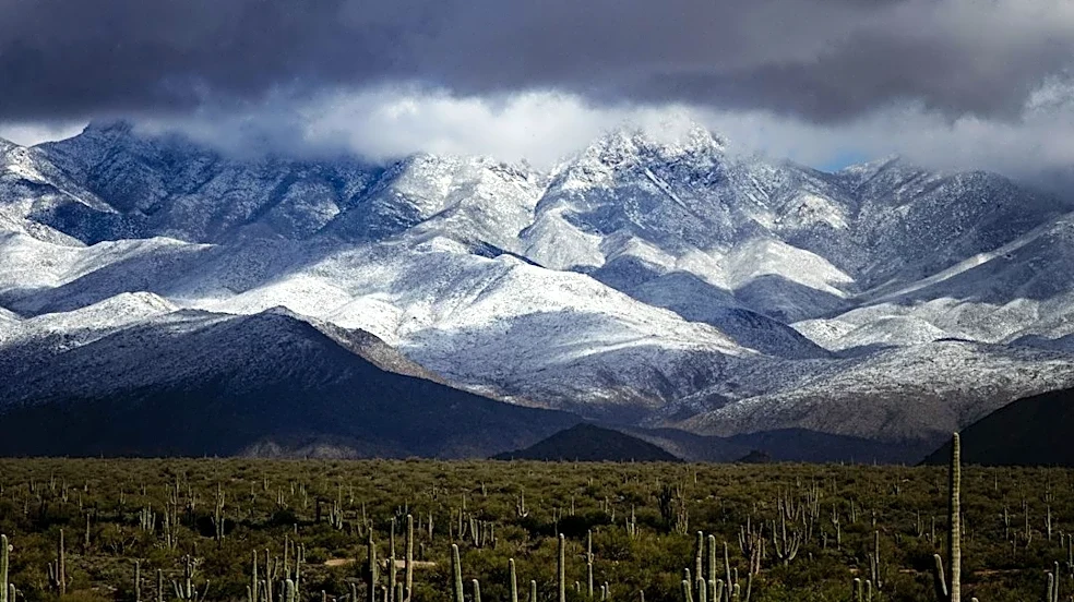
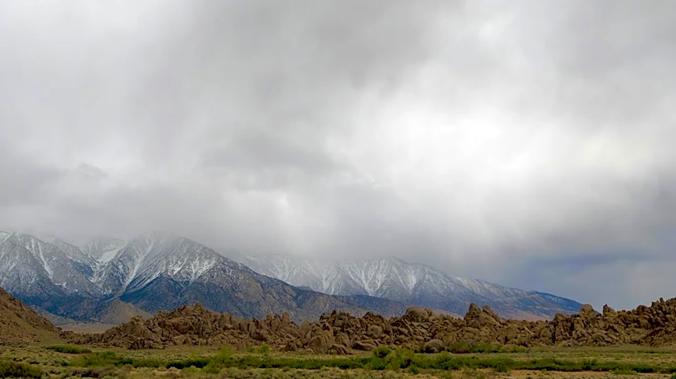
Will California see more snow in the Sierra Nevada?
A wetter winter does not automatically mean more snow across the entire Sierra Nevada.
Temperature will help determine whether storms deliver rain or snow at different elevations. NOAA's outlook favors warmer-than-average winter temperatures in northern California, which could affect snow levels during storms.
At higher elevations, a wet winter could still deliver substantial snowfall. Lower elevations may see more precipitation fall as rain during warmer storms, and the overall snowpack will depend on storm timing, temperatures, and the elevation of the snow line.
That distinction matters for California's water supply. Sierra Nevada snowpack stores water that melts gradually during spring and summer, helping supply reservoirs and communities through the dry season. A season with abundant precipitation but a higher snow line may not produce the same snowpack benefits as a colder winter.
Could a wet winter help ease California's drought?
More precipitation could help replenish soil moisture, improve water supplies, and reduce drought conditions in areas that have been unusually dry.
However, drought relief depends on where precipitation falls, how frequently storms arrive, and whether water can be stored for later use. Heavy rain can run off quickly, particularly in areas with steep terrain or saturated soils, rather than providing the same long-term benefits as gradual rainfall and mountain snow accumulation.
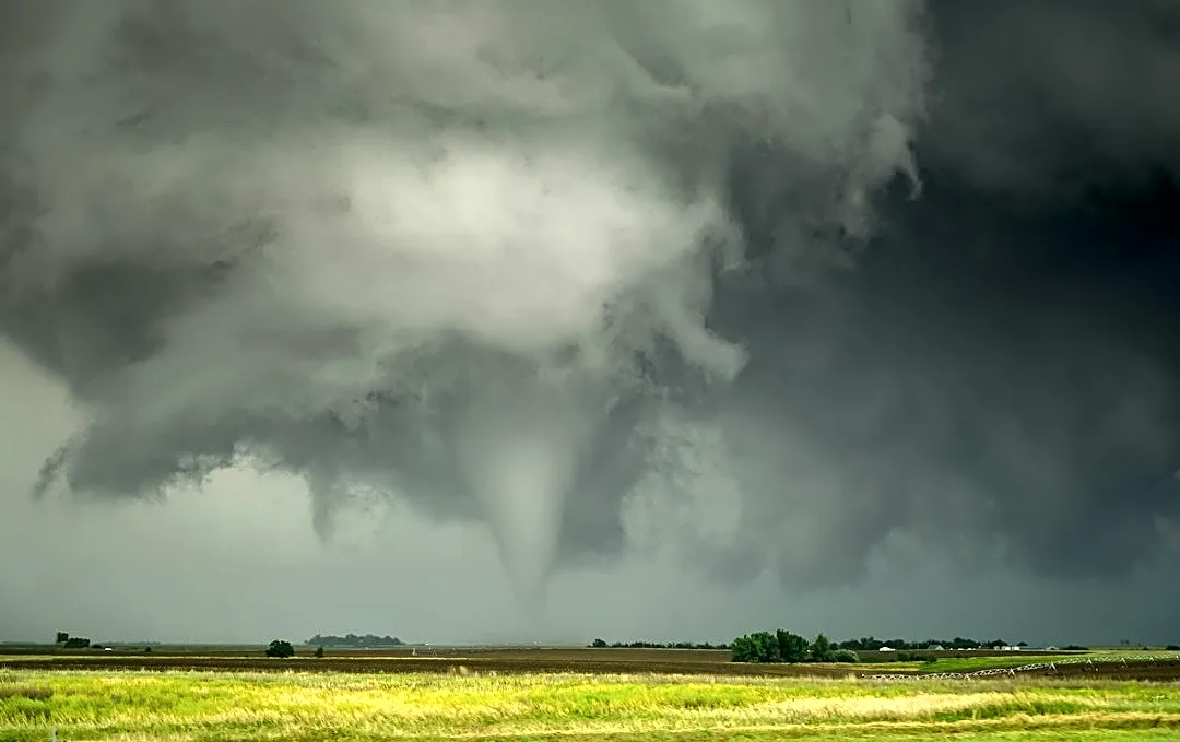
The same storms that help replenish water supplies can also trigger flash flooding, debris flows and mudslides, especially in areas with recent wildfire damage.
Stay informed. Get weather alerts via text
Brandi D. Addison covers weather across the nation as the Weather Connect reporter for the USA TODAY Network and contributes to Texas Connect coverage across the state. She can be reached at baddison@usatodayco.com. Follow her on Facebook here.
This article originally appeared on Palm Springs Desert Sun: El Niño and a Kelvin wave are brewing — what that means for California
Our editors independently choose our recommendations. Some content is produced with paid support from a third party, however our editorial decisions remain independent. If you buy through our links, the USA TODAY Network may earn a commission. Prices and availability may change.