
Southern Californians are being urged to prepare for astretch of hazardous beach conditions as Hurricane Polo approaches the Baja California Peninsula and Tropical Storm Rachel strengthens in the eastern Pacific.
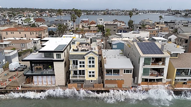
Forecasters say Polo is likely generating powerful swells that will reach the Southern California coast Monday and Tuesday, coinciding with unusually high tides fueled by a major El Niño pattern. The combination could increase the risk of coastal flooding, beach erosion and dangerous surf from Los Angeles County southward.
Here's what Californians should know.
Why Hurricane Polo matters for Southern California
The National Hurricane Center expects Hurricane Polo to approach the west coast of the Baja California Peninsula as a hurricane Monday.
While the storm center is forecast to remain
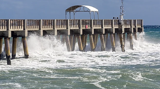
well south of California, its impacts can still be felt far from the storm itself. Large swells generated by tropical systems often travel hundreds of miles across the Pacific, creating hazardous ocean conditions along the Southern California coast.
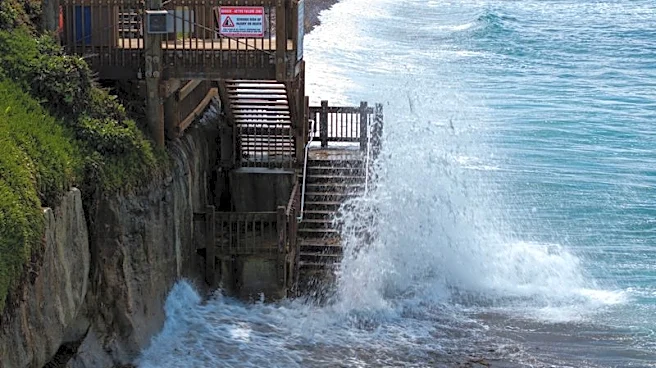
The National Weather Service in Los Angeles says those swells will likely coincide with late-morning high tides Monday and Tuesday, increasing the risk of coastal flooding and beach erosion.
The concern comes just weeks after Hurricane Marie sent powerful waves into Southern California, damaging coastal areas and prompting warnings in beachfront communities.
Which Southern California cities face the highest flood risk?
The National Weather Service has identified several south-facing beaches as areas of greatest concern.
Locations being closely monitored include:
- Long Beach's Peninsula neighborhood
- Belmont Shore in Long Beach
- Malibu
- Avalon on Catalina Island
Forecasters say moderate flooding is especially possible in low-lying coastal areas around the time of high tide.
Residents near beaches, harbors and waterfront neighborhoods should stay alert for local advisories and avoid driving through flooded roadways.
Dangerous surf and rip currents expected
Beachgoers may want to rethink plans to enter the water early this week.
The National Weather Service warns of:
- Breaking waves of 4 to 7 feet
- Strong rip currents
- Increased beach erosion
- Coastal flooding during high tides
Officials are urging residents and visitors to stay out of the water if conditions deteriorate and to keep a safe distance from large waves.
Even experienced swimmers can be swept into dangerous currents during tropical swell events.
How Hurricane Polo is affecting the Coachella Valley and Inland Empire
While Hurricane Polo is expected to remain well south of California, its influence is already being felt across parts of inland Southern California.
The Coachella Valley has experienced unusually high humidity in recent days as tropical moisture pushes north from the eastern Pacific. Residents from Palm Springs to Indio have reported muggy conditions more common in late-summer monsoon weather, with overnight temperatures staying warmer because of the added moisture in the air.
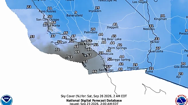
The Inland Empire may also see elevated humidity this week, especially overnight and in the morning. While widespread rain is not currently expected, forecasters say tropical moisture circulating around storms off the Mexican coast can make the air feel stickier and increase cloud cover across Southern California's deserts and inland valleys.
For many inland residents, the most noticeable impacts from Hurricane Polo may be warmer mornings, higher humidity, and hazier skies, while coastal communities deal with dangerous surf, flooding, and beach erosion.
What about the rest of Southern California?
From Ventura County to Orange County and San Diego County, coastal communities could experience rough surf, stronger currents, and localized flooding around times of high tide.
The combination of Hurricane Polo's swell and elevated El Niño-related tides could extend impacts beyond the beaches themselves, particularly in low-lying waterfront areas.
Anyone planning to visit the coast should check local beach forecasts and heed warnings from lifeguards and emergency managers.
Tropical Storm Rachel is also being watched
Meanwhile, Tropical Storm Rachel continues to strengthen in the eastern Pacific, and the National Hurricane Center forecasts it to become a hurricane later this week.
According to the National Weather Service in Los Angeles, any coastal impacts associated with Rachel would most likely occur after Oct. 4 if the storm maintains its current northwest track.
While it remains too early to know exactly what effects Rachel could have on California, forecasters say they will monitor it closely in the coming days.
What Southern Californians should do now
- Avoid entering the ocean during periods of dangerous surf.
- Stay away from jetties, rocks and shoreline areas vulnerable to large waves.
- Monitor local forecasts and National Weather Service alerts.
- Be prepared for minor flooding in low-lying coastal neighborhoods.
- Use extra caution when traveling near beaches during high tide periods.
Where is Hurricane Polo? See tracker
Paris Barraza is a reporter covering Los Angeles and Southern California for the USA TODAY Network. Reach her at pbarraza@usatodayco.com.
This article originally appeared on Palm Springs Desert Sun: Hurricane Polo brings surf hazards to coast, humidity to valleys