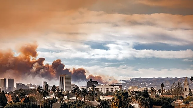





After days of cooler weather, Southern California is experiencing its first Santa Ana wind event of the season, bringing warmer temperatures and near-critical fire weather conditions, forecasters say.
Chandler Price, a meteorologist with the National Weather Service in San Diego, said offshore winds began hitting the mountain foothills Wednesday, Oct. 14.
“Then, it doesn't really get started for more people until Thursday morning, and then Friday we expect the strongest and most widespread San Ana winds,” Price said in an Oct. 14 phone interview.
The strongest winds are expected in the western mountain foothills before spreading into inland valleys, such as the Inland Empire and San Diego County's inland valleys, Price said.
“This is a fairly strong
event,” Price said.
Wind advisories will be in effect from Thursday morning through Friday evening across Los Angeles and Ventura counties, where gusts could reach 40 to 50 mph, according to the NWS. Additionally, a high wind watch will be in place Thursday morning through Saturday evening for San Diego County's valleys and mountains, where Santa Ana wind gusts could reach 65 mph.
A red flag warning will also take effect starting 6 a.m. The NWS said a red flag warning will be in effect from Thursday, Oct. 15, through the evening of Friday, Oct. 16, across much of Los Angeles and Ventura counties as strong Santa Ana winds, low humidity, and warm temperatures elevate wildfire danger. Red flag warnings are issued when critical fire weather conditions are happening or will happen soon. The NWS said the Santa Barbara and San Luis Obispo interior mountains will be under a fire weather watch Friday.
“Thanks to the rain we just got, the fuels aren't super primed to go off,” Price said. “But that being said, this is going to create near-critical fire weather.”
Heat advisories will also be in effect starting Thursday morning through Saturday evening for parts of Los Angeles, Ventura, Orange and San Diego counties, with highs up to 95.
What causes the Santa Ana winds?
Santa Ana winds happen when high pressure builds over the Great Basin, near Nevada, according to Price.
“Pressure sort of works like water,” Price said. “You can think of high pressure as a hill and low pressure like a valley.”
He said water wants to run down the hill to the valley.
“Air works the same way: Air wants to run from high pressure to low pressure,” Price said.
When that happens, all the air in the high basin runs down toward Southwest California, according to Price.
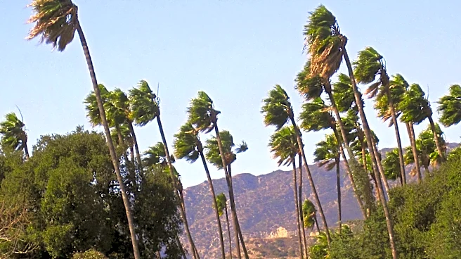
“As it crests over the mountains, it accelerates downhill, which makes the air both warmer and drier,” Price said. “So that's very typical of Santa Ana winds: gusty winds generally from the east to northeast, and then dry and warm to hot conditions.”
When is the Santa Ana wind season?
The Santa Ana wind season typically spans from September through May, according to NWS.
However, Price says the most active and intense events occur from September to December.
“The conditions that create Santa Anas are really a fall and winter sort of deal most of the time,” he said. “That's why if you're in San Diego, we joke around that a lot of the time Christmas is like 80 degrees here. That's because of Santa Anas.”
This article originally appeared on Palm Springs Desert Sun: First Santa Ana wind event of the season raises fire weather concerns