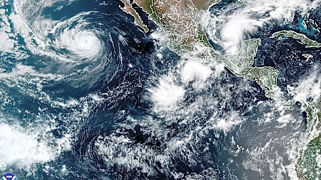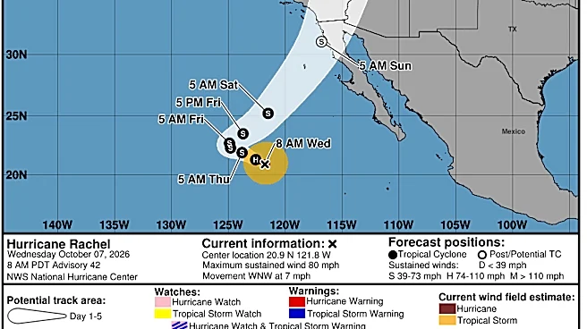

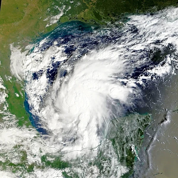
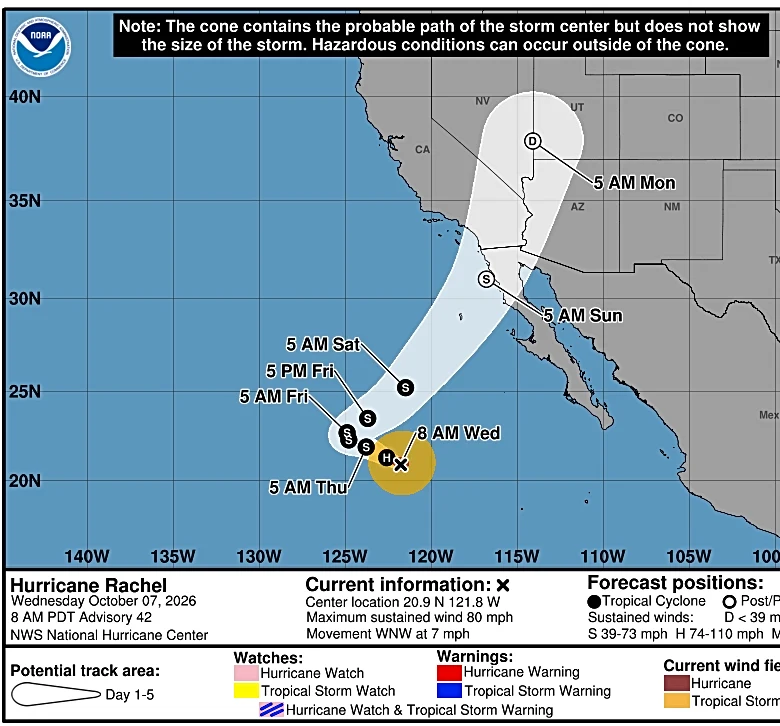

Though Hurricane Rachel downgraded to a tropical storm early Thursday, its remnants are expected to impact Southern California over the weekend.
Tropical Storm Rachel, which is currently spinning off the coast of Mexico, is forecast to weaken below tropical storm strength before making landfall in northern Baja California late Saturday night, according to the National Weather Service.
“A low-pressure system will absorb the moisture from what is left of former Hurricane Rachel, then move northeastward into extreme southern California and northern Baja,” the National Weather Service said in an Oct. 7 statement.
 Hurricane Rachel — into California." id="92137862007">
This will bring chances of rain across Southern California, NWS forecasters said.
“It
does look like the area will start seeing impacts from Tropical Storm Rachel as early as late Saturday,” Casey Oswant, a National Weather Service meteorologist in San Diego, said in an Oct. 8 phone interview.
NWS forecasters expect the highest chances of rain in Southern California Sunday into Monday.
Rainfall totals could range from 0.5 to 2 inches, with the highest amounts expected in the mountains, the NWS said.
On the highest mountain peaks above 9,000 feet, there is a chance of a few inches of snowfall Monday night into Tuesday, with snow levels briefly dropping as low as 8,000 feet, the NWS said.
“We are expecting the storm to be out of the area really by Sunday night into Monday, and so we are expecting temperatures to be on the cooler side, especially as we get into early next week,” Oswant said.
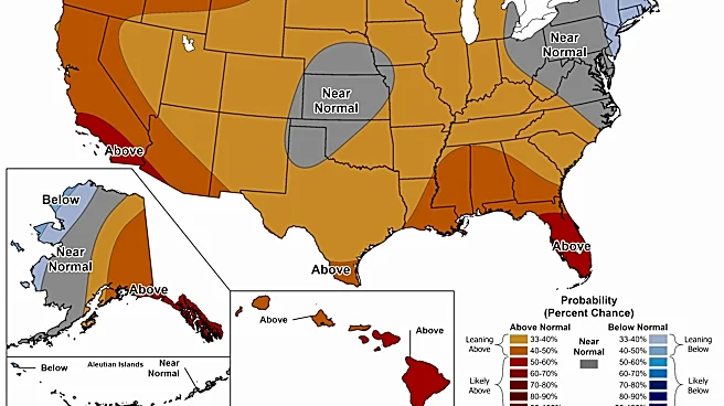
The cooler temperatures follow an intense autumnheat wave that brought record highs across the area.
A secondary system could also bring additional rain early next week.
“This one's a trough of low pressure coming from the north. That's going to swing through Monday and Tuesday, keeping a chance of showers in the forecast through Tuesday,” Oswant said.
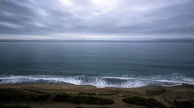
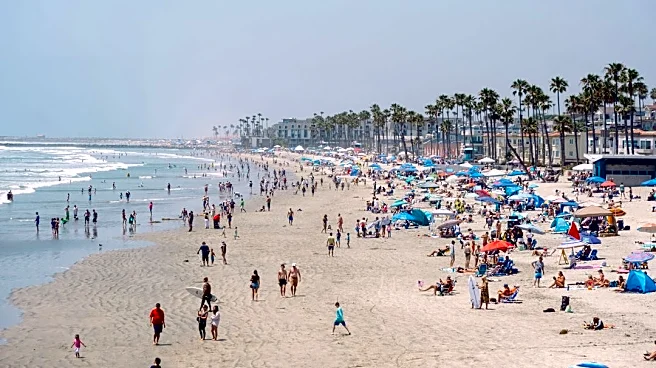
Oswant said the storm could cause coastal flooding, with Southern California beaches already seeing elevated tides in the 6.5- to 7-foot range.
“With the approach of the tropical storm, we are expecting surf to increase a little bit, and so that combination of elevated tides and increased surf is really going to increase the risk of coastal flooding and beach erosion, and then additionally, the swimming conditions are going to be terrible with strong rip currents and longshore currents,” Oswant said.
A flood advisory is in effect for beaches in Los Angeles, Ventura, Orange, and San Diego counties through Tuesday afternoon.
How Californians can prepare ahead of storm
Ahead of the incoming storm, Oswant said she recommends people familiarize themselves with their local emergency management agency, whether it be at the city or county level.
“Really start to pay attention to any instructions or updates from them,” Oswant said.
If you live in a flood-prone area, she said, it’s always a good idea to know where you can get sandbags.
“Then, really, just continue to monitor the forecast because the track of Rachel is really going to determine how many impacts we get,” Oswant said. “But I would say, especially if you live along the immediate coast (with) beachfront property, kind of make sure you're preparing for some coastal flood impacts.”
This article originally appeared on Palm Springs Desert Sun: What to know about Hurricane Rachel's impact on Southern California