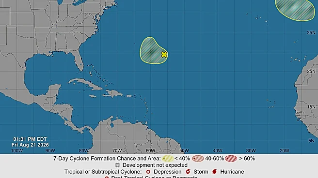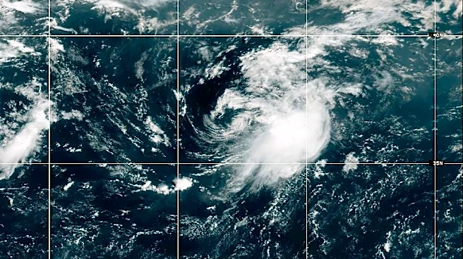


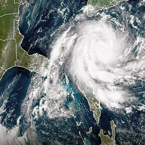

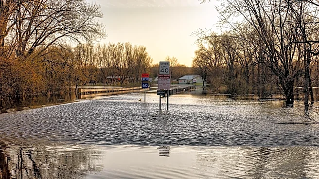
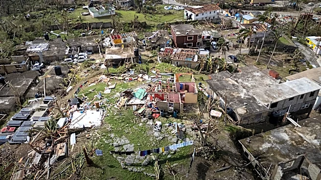
For most of this hurricane season, the National Hurricane Center's online map of the Atlantic basin has been showing a surprising image and message.
Nothing with this text superimposed on the map: "Tropical cyclone activity is not expected during the next 7 days."
So far the 2026 season, which started June 1, has been the quietest start to a hurricane season this century. There have only been three named storms so far, and they've lasted a combined four days.
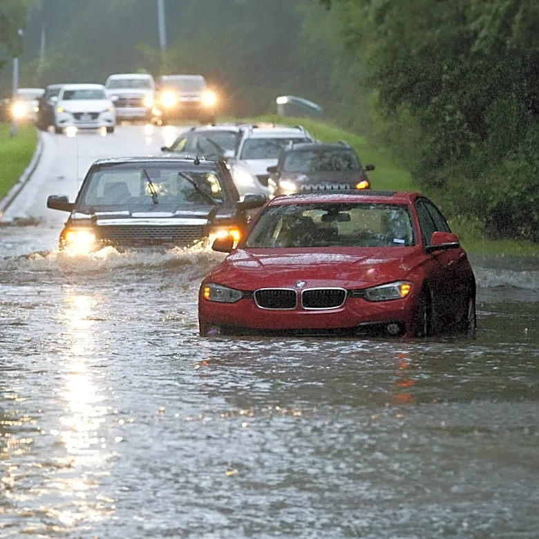
Tropical Storm Arthur brought significant rain to parts of the Gulf coast and Southeastern United States in mid-June, but only after it dissipated. Tropical Storm Bertha in mid-July also brought rain to parts of the Gulf, but didn't cause much of a ruckus. And Tropical Storm Cristobal in August
hung around for about a day in the middle of the Atlantic before petering out.
Even a pair of tropical disturbances that held the possibility of forming into something or even combining into a bigger system before hitting the Caribbean in mid-August fizzled out.
So what's going on, and how soon could we see Dolly and Edouard?
The 2026 season is both normal and unusual
According to the hurricane center, things aren't actually that unusual this year.
"The first named storm typically forms in mid- to late June, the first hurricane tends to form in early to mid-August, and the first major hurricane forms in late August or early September," the agency states on its website.
The busiest part of hurricane season also runs roughly from mid-August into early October, with the peak day for activity being Sept. 10.
But according to another factor, this season is a strange one.
The Weather Channel reports that the accumulated cyclone energy, which measures how long storms last and how strong they get, for this hurricane season is unusually low. According to the weather site, the 2026 season is the slowest-starting hurricane season in terms of accumulated cyclone energy since 1998.

Enter El Niño
Across the board, meteorologists say the strengthening El Niño in the equatorial Pacific is playing a large role in squashing tropical activity in the Atlantic basin.
El Niño is a natural climate pattern in which surface seawater temperatures in the central and eastern tropical Pacific are warmer than normal.
Meaning Little Boy in Spanish, El Niño was originally recognized by fishermen off the coast of South America with the appearance of unusually warm water in the Pacific around Christmas.
According to the National Oceanic and Atmospheric Administration (NOAA), there's a nearly 70% chance it could develop into a "super" El Niño, meaning its impacts could be greater than normal. If a super El Niño does develop, it could supercharge weather events across the world. For the U.S. South, that could mean wetter conditions with more heavy rainfall events this fall and winter − bringing much-needed relief to the ongoing drought situation in much of the Tar Heel State.

In a world already cooking hotter than normal thanks to climate change, the weather pattern also could amplify extreme heat already baking much of the world. According to the World Meteorological Organization, 2025 was the third warmest year on record, only trailing 2024 and 2023, with sea-surface temperatures also setting records despite cooling La Niña weather patterns.
El Niño can have a significant impact on the severity of the hurricane season in both the Atlantic and the Pacific.
In the Atlantic, the weather pattern tends to reduce activity in the tropical Atlantic by bringing on stronger upper-level wind shear and sinking air, hindering the formation of tropical weather systems, while having the opposite effect and boosting activity in the Pacific.
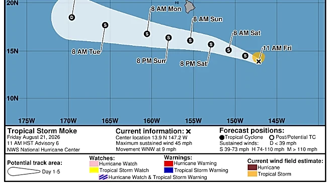
The Northwest Pacific has already seen three Category 5 storms this season, and in the Central Pacific Hurricane Lala just finished lashing Hawaii with 90 mph winds.
What happens now?
The latest forecast from Colorado State University is only calling for nine named storms this season, which would be an exceptionally low total, especially given how warm most of the tropical Atlantic is right now.
In effect, the Caribbean has largely become a no-go zone for hurricane formation.
"That's a great indication of the power of El Niño, that it can develop in the Pacific, but still have a controlling role in weather patterns half a world away," said N.C. Assistant State Climatologist Corey Davis.
While North Carolina missing out on tropical weather might sound good on paper, it also comes with some other impacts.
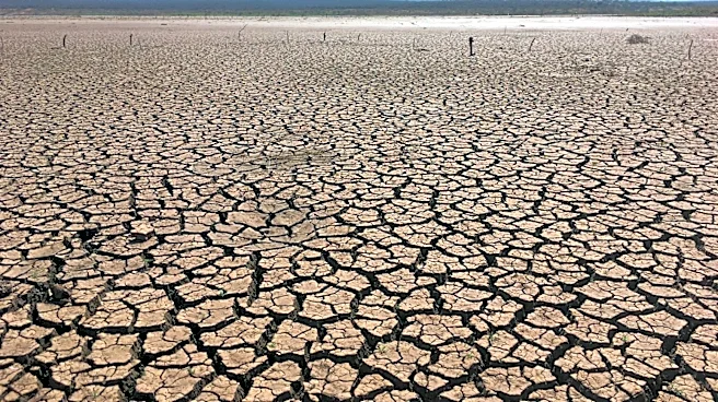
One of those is a loss of the rainfall such a system would bring to Eastern North Carolina, an area that largely remains in drought or a very dry state as of late August. The region relies on passing tropical weather for much of its summer precipitation that helps farmers and recharges underground aquifers.
According to the National Weather Service in Wilmington, the Port City had seen 25.3 inches of rain in 2026 as of Aug. 18. That compares to a normal average of nearly 36 inches.

"Wilmington averages more than 8 inches of rain in both August and September, and it's hard to get that much from the sort of spotty showers and storms we've seen in recent weeks," Davis said. "While we certainly don't wish for anything tropical, some areas could definitely use the rain to make a dent in this drought."
But on the flip side, El Niño normally brings above-average rainfall to the U.S. Southeast in the fall and winter. During the last strong El Niño in 2015, Wilmington has its wettest October on record and fourth-wettest winter, Davis said.
"This all feels like a be-careful-what-you-wish-for sort of situation," he said. "We need the rain now, but we'll probably be sick of it in a few months."
Tim Armstrong, a meteorologist with the weather service's Wilmington office, said even with El Niño hindering storm development across much of the tropics, that doesn't mean Southeastern N.C. is out of the woods for storm development.
"There's still the subtropical Atlantic we have to watch closely," he said. "El Niño doesn't affect shear as much outside of the tropics, so a locally grown storm could more easily develop this fall and bring impacts to the Carolinas."
Past examples of these types of storms include Ophelia in 2005 and Diana in 1984. And the unnamed storm that swamped southern New Hanover County and parts of Brunswick County with 20 inches of rain in 2024 was another one of these storms, he added.
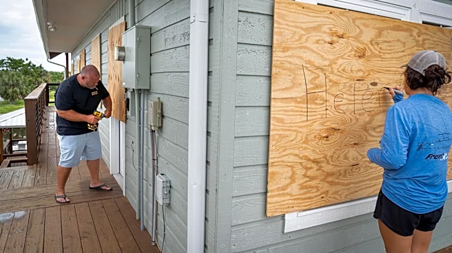
Officials also continue to stress to coastal residents that even if it appears to be a relatively quiet season, it only takes one storm arriving on your doorstep to make it a terrible hurricane season.
"And our own work suggests that it is very difficult to predict that quantity on a year-to-year basis since you are dealing with the statistics are very small numbers," said Dr. Michael Mann, a meteorologist and scientist at the University of Pennsylvania. "But we do know that there is an increase over time in the maximum intensity of these storms driven by human-caused warming."
Reporter Gareth McGrath can be reached at GMcGrath@usatodayco.com or @GarethMcGrathSN on X/Twitter. This story was produced with financial support from Journalism Funding Partners. The USA TODAY Network maintains full editorial control of the work.
This article originally appeared on Wilmington StarNews: Why the 2026 hurricane season is so quiet; what it means for NC coast