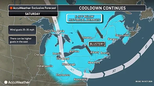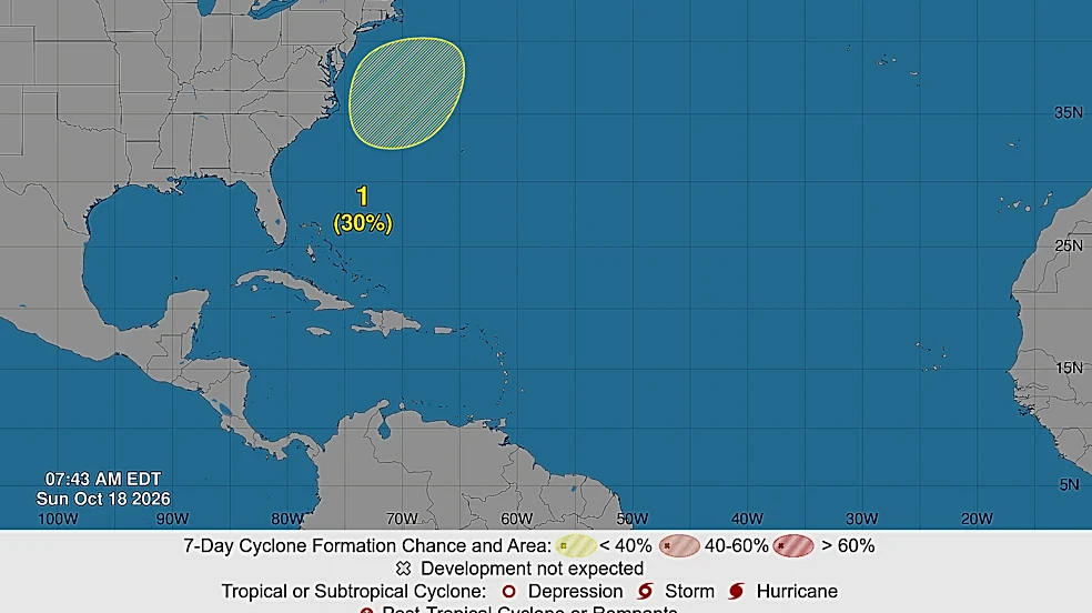








The low-pressure cold front that has brought chilly, blustery weather and dangerous conditions to the North Carolina coast this weekend could develop into a subtropical weather system later this week.
"This low is likely to move slowly and erratically through the middle of this week, and some subtropical development is possible during that time," stated the National Hurricane Center on Sunday, Oct. 18, giving the system a 30% of forming into something stronger within the next seven days. "Regardless of development, the system will cause high winds, coastal flooding, and dangerous surf along portions of the U.S. East Coast."
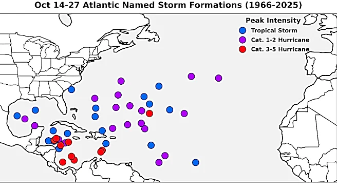
The next name on the 2026 hurricane list is Josephine. And while this year's hurricane season has been unusually quiet thanks
to El Niño, forecasters and emergency officials say residents still need to stay alert and be prepared in case a late-season tropical system churns up, especially in the Gulf where ocean waters remain very warm. Hurricane season runs through November.

Dangerous currents, rips in the Cape Fear
The weather system churning offshore already has brought the first shot of fall to the N.C. coast, with temperatures plummeting into the low 40s in the Wilmington area Saturday night and expected to hover in the mid-60s for highs Sunday and Monday before dropping back down to the high 40s at night.
Gusts pushing up to 30 mph, which are expected to last through the weekend, prompted the N.C. Oyster Festival in Ocean Isle Beach to close early Saturday, Oct. 17, due to the threat of high-wind conditions.
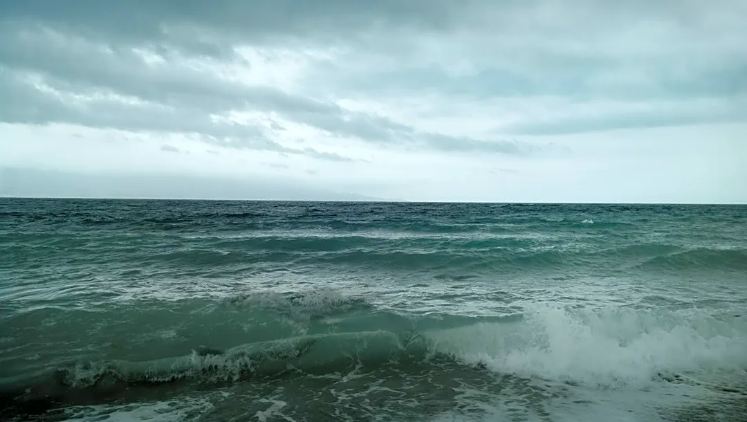
The heavy surf churned up by the low-pressure system prompted theNational Weather Service office in Wilmington to issue warnings over strong, dangerous longshore currents along the beachfront and the high risk of rip currents.
Both warning remain in effect through Sunday, Oct. 18.
Outer Banks pounded again
Just weeks after a strong nor'easter hit the Outer Banks hard, overwashing N.C. 12 and leaving tourists and residents stranded for days along the isolated island chain, the popular tourist spot again found itself in a storm's bulls-eye.
This weekend's storm prompted Dare County officials to order a mandatory evacuation for visitors from Hatteras Island. The threat of heavy surf also prompted the N.C. Department of Transportation to suspend all ferry services along the coast except Fort Fisher-Southport near Wilmington and warn motorists that traveling N.C. 12 south of Oregon Inlet could be hazardous due to overwash conditions and blowing sand.
"The good news is that NC12 remains open & passable from the Marc Basnight Bridge to Ocracoke," the DOT posted on Facebook Sunday morning. "But the bad news is the nor’easter is forecast to sit offshore well into next week and road conditions will likely deteriorate for NC12 & our coastal communities along the Pamlico Sound."
The week ahead
As the cold front meanders around the Atlantic off the Mid-Atlantic coast in the coming days, Wilmington's weather is expected to remain fall-like early in the coming week before warming up as the weekend approaches.
Temperatures will linger in the upper 60s through Monday, dipping into the high 40s at night, before warming up into the 70s on Tuesday and into the weekend, according to the weather service.
Wind gusts and the chance of rain also are expected to remain low as the week progresses.
Reporter Gareth McGrath can be reached at GMcGrath@usatodayco.com or @GarethMcGrathSN on X/Twitter. This story was produced with financial support from Journalism Funding Partners. The USA TODAY Network maintains full editorial control of the work.
This article originally appeared on Wilmington StarNews: Cold front off NC coast watched for possible tropical development